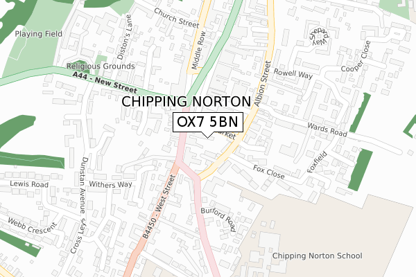
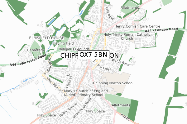
OX7 5BN lies on Albion Street in Chipping Norton. OX7 5BN is located in the Chipping Norton electoral ward, within the local authority district of West Oxfordshire and the English Parliamentary constituency of Witney. The Sub Integrated Care Board (ICB) Location is NHS Buckinghamshire, Oxfordshire and Berkshire West ICB - 10Q and the police force is Thames Valley. This postcode has been in use since December 2019.


GetTheData
Source: OS Open Zoomstack (Ordnance Survey)
Licence: Open Government Licence (requires attribution)
Attribution: Contains OS data © Crown copyright and database right 2025
Source: Open Postcode Geo
Licence: Open Government Licence (requires attribution)
Attribution: Contains OS data © Crown copyright and database right 2025; Contains Royal Mail data © Royal Mail copyright and database right 2025; Source: Office for National Statistics licensed under the Open Government Licence v.3.0
| Easting | 431352 |
| Northing | 226965 |
| Latitude | 51.940320 |
| Longitude | -1.545323 |
GetTheData
Source: Open Postcode Geo
Licence: Open Government Licence
| Street | Albion Street |
| Town/City | Chipping Norton |
| Country | England |
| Postcode District | OX7 |
➜ See where OX7 is on a map ➜ Where is Chipping Norton? | |
GetTheData
Source: Land Registry Price Paid Data
Licence: Open Government Licence
| Ward | Chipping Norton |
| Constituency | Witney |
GetTheData
Source: ONS Postcode Database
Licence: Open Government Licence
| West Street | Chipping Norton | 39m |
| West Street | Chipping Norton | 51m |
| Town Hall (West Street) | Chipping Norton | 74m |
| Co-op Car Park (Albion Street) | Chipping Norton | 83m |
| New Street | Chipping Norton | 197m |
GetTheData
Source: NaPTAN
Licence: Open Government Licence
| Percentage of properties with Next Generation Access | 0.0% |
| Percentage of properties with Superfast Broadband | 0.0% |
| Percentage of properties with Ultrafast Broadband | 0.0% |
| Percentage of properties with Full Fibre Broadband | 0.0% |
Superfast Broadband is between 30Mbps and 300Mbps
Ultrafast Broadband is > 300Mbps
| Percentage of properties unable to receive 2Mbps | 0.0% |
| Percentage of properties unable to receive 5Mbps | 0.0% |
| Percentage of properties unable to receive 10Mbps | 0.0% |
| Percentage of properties unable to receive 30Mbps | 0.0% |
GetTheData
Source: Ofcom
Licence: Ofcom Terms of Use (requires attribution)
GetTheData
Source: ONS Postcode Database
Licence: Open Government Licence


➜ Get more ratings from the Food Standards Agency
GetTheData
Source: Food Standards Agency
Licence: FSA terms & conditions
| Last Collection | |||
|---|---|---|---|
| Location | Mon-Fri | Sat | Distance |
| Market Square | 17:00 | 12:00 | 143m |
| Chipping Norton Post Office | 18:15 | 12:00 | 216m |
| Oxford House | 17:00 | 12:00 | 407m |
GetTheData
Source: Dracos
Licence: Creative Commons Attribution-ShareAlike
The below table lists the International Territorial Level (ITL) codes (formerly Nomenclature of Territorial Units for Statistics (NUTS) codes) and Local Administrative Units (LAU) codes for OX7 5BN:
| ITL 1 Code | Name |
|---|---|
| TLJ | South East (England) |
| ITL 2 Code | Name |
| TLJ1 | Berkshire, Buckinghamshire and Oxfordshire |
| ITL 3 Code | Name |
| TLJ14 | Oxfordshire CC |
| LAU 1 Code | Name |
| E07000181 | West Oxfordshire |
GetTheData
Source: ONS Postcode Directory
Licence: Open Government Licence
The below table lists the Census Output Area (OA), Lower Layer Super Output Area (LSOA), and Middle Layer Super Output Area (MSOA) for OX7 5BN:
| Code | Name | |
|---|---|---|
| OA | E00146593 | |
| LSOA | E01028783 | West Oxfordshire 001D |
| MSOA | E02005993 | West Oxfordshire 001 |
GetTheData
Source: ONS Postcode Directory
Licence: Open Government Licence
| OX7 5AA | West Street | 29m |
| OX7 5DD | Market Place | 41m |
| OX7 5PG | Albion Street | 64m |
| OX7 5LH | West Street | 88m |
| OX7 5NF | Hill Lawn Court | 114m |
| OX7 5BJ | Albion Street | 128m |
| OX7 5BY | Fox Close | 133m |
| OX7 5UH | Merchants Place | 140m |
| OX7 5DE | Pear Tree Court | 143m |
| OX7 5BL | Albion Street | 144m |
GetTheData
Source: Open Postcode Geo; Land Registry Price Paid Data
Licence: Open Government Licence