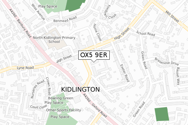
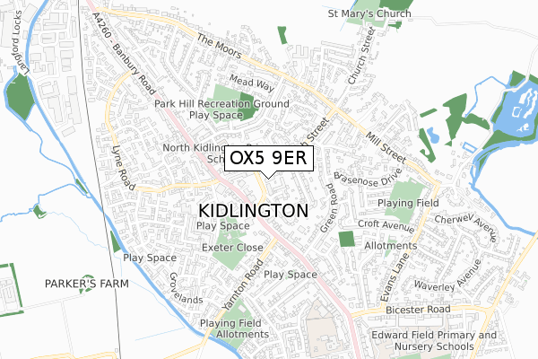
OX5 9ER is located in the Kidlington East electoral ward, within the local authority district of Cherwell and the English Parliamentary constituency of Oxford West and Abingdon. The Sub Integrated Care Board (ICB) Location is NHS Buckinghamshire, Oxfordshire and Berkshire West ICB - 10Q and the police force is Thames Valley. This postcode has been in use since December 2017.


GetTheData
Source: OS Open Zoomstack (Ordnance Survey)
Licence: Open Government Licence (requires attribution)
Attribution: Contains OS data © Crown copyright and database right 2025
Source: Open Postcode Geo
Licence: Open Government Licence (requires attribution)
Attribution: Contains OS data © Crown copyright and database right 2025; Contains Royal Mail data © Royal Mail copyright and database right 2025; Source: Office for National Statistics licensed under the Open Government Licence v.3.0
| Easting | 449209 |
| Northing | 214060 |
| Latitude | 51.823010 |
| Longitude | -1.287411 |
GetTheData
Source: Open Postcode Geo
Licence: Open Government Licence
| Country | England |
| Postcode District | OX5 |
➜ See where OX5 is on a map ➜ Where is Kidlington? | |
GetTheData
Source: Land Registry Price Paid Data
Licence: Open Government Licence
| Ward | Kidlington East |
| Constituency | Oxford West And Abingdon |
GetTheData
Source: ONS Postcode Database
Licence: Open Government Licence
| Tesco (High Street) | Kidlington | 84m |
| Tesco (High Street) | Kidlington | 93m |
| Watts Way Car Park (Watts Way) | Kidlington | 135m |
| Exeter Hall (Banbury Road) | Kidlington | 194m |
| Exeter Hall (Banbury Road) | Kidlington | 239m |
| Oxford Parkway Station | 2.3km |
| Islip Station | 3.4km |
GetTheData
Source: NaPTAN
Licence: Open Government Licence
GetTheData
Source: ONS Postcode Database
Licence: Open Government Licence


➜ Get more ratings from the Food Standards Agency
GetTheData
Source: Food Standards Agency
Licence: FSA terms & conditions
| Last Collection | |||
|---|---|---|---|
| Location | Mon-Fri | Sat | Distance |
| High Street | 17:00 | 11:30 | 76m |
| Kidlington Post Office | 18:30 | 12:00 | 133m |
| Green Road | 16:45 | 12:00 | 347m |
GetTheData
Source: Dracos
Licence: Creative Commons Attribution-ShareAlike
The below table lists the International Territorial Level (ITL) codes (formerly Nomenclature of Territorial Units for Statistics (NUTS) codes) and Local Administrative Units (LAU) codes for OX5 9ER:
| ITL 1 Code | Name |
|---|---|
| TLJ | South East (England) |
| ITL 2 Code | Name |
| TLJ1 | Berkshire, Buckinghamshire and Oxfordshire |
| ITL 3 Code | Name |
| TLJ14 | Oxfordshire CC |
| LAU 1 Code | Name |
| E07000177 | Cherwell |
GetTheData
Source: ONS Postcode Directory
Licence: Open Government Licence
The below table lists the Census Output Area (OA), Lower Layer Super Output Area (LSOA), and Middle Layer Super Output Area (MSOA) for OX5 9ER:
| Code | Name | |
|---|---|---|
| OA | E00145174 | |
| LSOA | E01028491 | Cherwell 017D |
| MSOA | E02005937 | Cherwell 017 |
GetTheData
Source: ONS Postcode Directory
Licence: Open Government Licence
| OX5 2RT | Dale Place | 51m |
| OX5 2DN | High Street | 61m |
| OX5 2FN | High Street | 65m |
| OX5 2EH | High Street | 104m |
| OX5 2FW | High Street | 117m |
| OX5 2DH | High Street | 123m |
| OX5 2BP | Oxford Road | 141m |
| OX5 2DT | Sterling Road | 141m |
| OX5 2DY | Exeter Road | 167m |
| OX5 2PQ | Foresters Way | 177m |
GetTheData
Source: Open Postcode Geo; Land Registry Price Paid Data
Licence: Open Government Licence