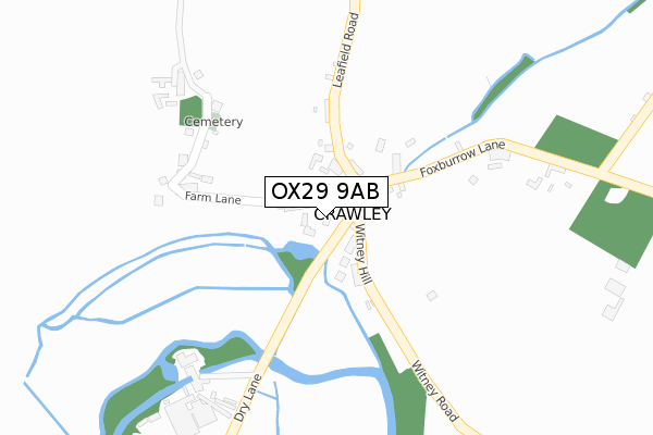
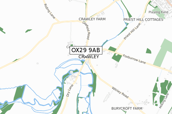
OX29 9AB is located in the Hailey, Minster Lovell and Leafield electoral ward, within the local authority district of West Oxfordshire and the English Parliamentary constituency of Witney. The Sub Integrated Care Board (ICB) Location is NHS Buckinghamshire, Oxfordshire and Berkshire West ICB - 10Q and the police force is Thames Valley. This postcode has been in use since April 2020.


GetTheData
Source: OS Open Zoomstack (Ordnance Survey)
Licence: Open Government Licence (requires attribution)
Attribution: Contains OS data © Crown copyright and database right 2025
Source: Open Postcode Geo
Licence: Open Government Licence (requires attribution)
Attribution: Contains OS data © Crown copyright and database right 2025; Contains Royal Mail data © Royal Mail copyright and database right 2025; Source: Office for National Statistics licensed under the Open Government Licence v.3.0
| Easting | 434074 |
| Northing | 212012 |
| Latitude | 51.805721 |
| Longitude | -1.507197 |
GetTheData
Source: Open Postcode Geo
Licence: Open Government Licence
| Country | England |
| Postcode District | OX29 |
➜ See where OX29 is on a map ➜ Where is Crawley? | |
GetTheData
Source: Land Registry Price Paid Data
Licence: Open Government Licence
| Ward | Hailey, Minster Lovell And Leafield |
| Constituency | Witney |
GetTheData
Source: ONS Postcode Database
Licence: Open Government Licence
| The Lamb Ph (Leafield Road) | Crawley | 49m |
| The Lamb Ph (Leafield Road) | Crawley | 50m |
| Whitings Lane (Delly Hill) | Hailey | 1,403m |
| Whitings Lane (Delly Hill) | Hailey | 1,416m |
| Witney Rugby Club (Hailey Road) | Hailey | 1,422m |
GetTheData
Source: NaPTAN
Licence: Open Government Licence
GetTheData
Source: ONS Postcode Database
Licence: Open Government Licence


➜ Get more ratings from the Food Standards Agency
GetTheData
Source: Food Standards Agency
Licence: FSA terms & conditions
| Last Collection | |||
|---|---|---|---|
| Location | Mon-Fri | Sat | Distance |
| Quarry Road East | 16:45 | 08:30 | 1,732m |
| Delly End | 16:30 | 08:45 | 1,768m |
| Burford Road | 16:45 | 09:30 | 2,084m |
GetTheData
Source: Dracos
Licence: Creative Commons Attribution-ShareAlike
The below table lists the International Territorial Level (ITL) codes (formerly Nomenclature of Territorial Units for Statistics (NUTS) codes) and Local Administrative Units (LAU) codes for OX29 9AB:
| ITL 1 Code | Name |
|---|---|
| TLJ | South East (England) |
| ITL 2 Code | Name |
| TLJ1 | Berkshire, Buckinghamshire and Oxfordshire |
| ITL 3 Code | Name |
| TLJ14 | Oxfordshire CC |
| LAU 1 Code | Name |
| E07000181 | West Oxfordshire |
GetTheData
Source: ONS Postcode Directory
Licence: Open Government Licence
The below table lists the Census Output Area (OA), Lower Layer Super Output Area (LSOA), and Middle Layer Super Output Area (MSOA) for OX29 9AB:
| Code | Name | |
|---|---|---|
| OA | E00146648 | |
| LSOA | E01028793 | West Oxfordshire 007C |
| MSOA | E02005999 | West Oxfordshire 007 |
GetTheData
Source: ONS Postcode Directory
Licence: Open Government Licence
| OX29 9TQ | Witney Hill | 64m |
| OX29 9TW | Steep Hill | 65m |
| OX29 9TR | 83m | |
| OX29 9TH | The Fordway | 92m |
| OX29 9TP | College Row | 147m |
| OX29 9TL | Farm Lane | 202m |
| OX29 9TN | Upper Close | 248m |
| OX29 9TS | Foxburrow Lane | 293m |
| OX29 9QU | Leafield Road | 325m |
| OX29 9SU | Dry Lane | 424m |
GetTheData
Source: Open Postcode Geo; Land Registry Price Paid Data
Licence: Open Government Licence