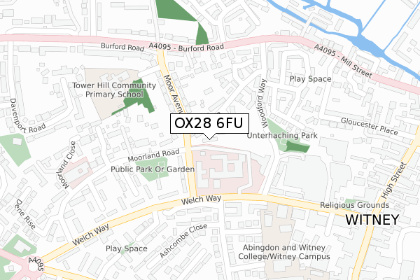
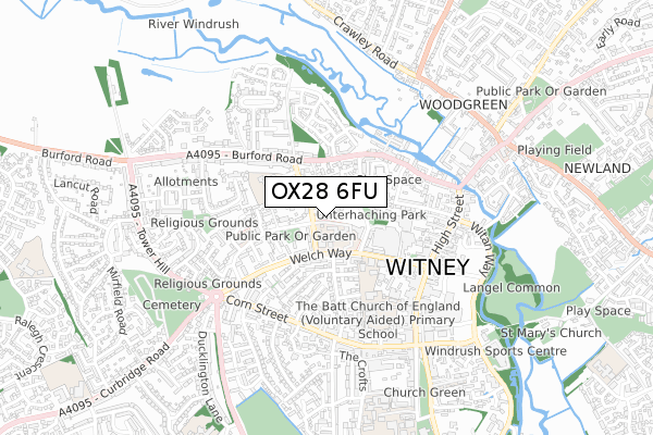
OX28 6FU is located in the Witney Central electoral ward, within the local authority district of West Oxfordshire and the English Parliamentary constituency of Witney. The Sub Integrated Care Board (ICB) Location is NHS Buckinghamshire, Oxfordshire and Berkshire West ICB - 10Q and the police force is Thames Valley. This postcode has been in use since September 2017.


GetTheData
Source: OS Open Zoomstack (Ordnance Survey)
Licence: Open Government Licence (requires attribution)
Attribution: Contains OS data © Crown copyright and database right 2025
Source: Open Postcode Geo
Licence: Open Government Licence (requires attribution)
Attribution: Contains OS data © Crown copyright and database right 2025; Contains Royal Mail data © Royal Mail copyright and database right 2025; Source: Office for National Statistics licensed under the Open Government Licence v.3.0
| Easting | 435246 |
| Northing | 210066 |
| Latitude | 51.788152 |
| Longitude | -1.490397 |
GetTheData
Source: Open Postcode Geo
Licence: Open Government Licence
| Country | England |
| Postcode District | OX28 |
➜ See where OX28 is on a map ➜ Where is Witney? | |
GetTheData
Source: Land Registry Price Paid Data
Licence: Open Government Licence
| Ward | Witney Central |
| Constituency | Witney |
GetTheData
Source: ONS Postcode Database
Licence: Open Government Licence
| Moor Avenue | Witney | 122m |
| Moorland Road | Witney | 224m |
| Moorland Road (Welch Way) | Witney | 335m |
| Marriotts Walk (Welch Way) | Witney | 344m |
| Moorland Road (Welch Way) | Witney | 395m |
GetTheData
Source: NaPTAN
Licence: Open Government Licence
| Percentage of properties with Next Generation Access | 100.0% |
| Percentage of properties with Superfast Broadband | 100.0% |
| Percentage of properties with Ultrafast Broadband | 100.0% |
| Percentage of properties with Full Fibre Broadband | 0.0% |
Superfast Broadband is between 30Mbps and 300Mbps
Ultrafast Broadband is > 300Mbps
| Median download speed | 46.1Mbps |
| Average download speed | 48.1Mbps |
| Maximum download speed | 79.41Mbps |
| Median upload speed | 10.0Mbps |
| Average upload speed | 12.1Mbps |
| Maximum upload speed | 20.00Mbps |
| Percentage of properties unable to receive 2Mbps | 0.0% |
| Percentage of properties unable to receive 5Mbps | 0.0% |
| Percentage of properties unable to receive 10Mbps | 0.0% |
| Percentage of properties unable to receive 30Mbps | 0.0% |
GetTheData
Source: Ofcom
Licence: Ofcom Terms of Use (requires attribution)
GetTheData
Source: ONS Postcode Database
Licence: Open Government Licence


➜ Get more ratings from the Food Standards Agency
GetTheData
Source: Food Standards Agency
Licence: FSA terms & conditions
| Last Collection | |||
|---|---|---|---|
| Location | Mon-Fri | Sat | Distance |
| Burford Road | 16:45 | 09:30 | 237m |
| Witney Post Office | 18:30 | 12:30 | 467m |
| Corn Street | 17:00 | 12:00 | 504m |
GetTheData
Source: Dracos
Licence: Creative Commons Attribution-ShareAlike
| Risk of OX28 6FU flooding from rivers and sea | Low |
| ➜ OX28 6FU flood map | |
GetTheData
Source: Open Flood Risk by Postcode
Licence: Open Government Licence
The below table lists the International Territorial Level (ITL) codes (formerly Nomenclature of Territorial Units for Statistics (NUTS) codes) and Local Administrative Units (LAU) codes for OX28 6FU:
| ITL 1 Code | Name |
|---|---|
| TLJ | South East (England) |
| ITL 2 Code | Name |
| TLJ1 | Berkshire, Buckinghamshire and Oxfordshire |
| ITL 3 Code | Name |
| TLJ14 | Oxfordshire CC |
| LAU 1 Code | Name |
| E07000181 | West Oxfordshire |
GetTheData
Source: ONS Postcode Directory
Licence: Open Government Licence
The below table lists the Census Output Area (OA), Lower Layer Super Output Area (LSOA), and Middle Layer Super Output Area (MSOA) for OX28 6FU:
| Code | Name | |
|---|---|---|
| OA | E00146728 | |
| LSOA | E01028807 | West Oxfordshire 010A |
| MSOA | E02006002 | West Oxfordshire 010 |
GetTheData
Source: ONS Postcode Directory
Licence: Open Government Licence
| OX28 6LE | Dark Lane | 39m |
| OX28 6LS | Moorland Road | 115m |
| OX28 6LJ | Moor Avenue | 121m |
| OX28 6LL | Moor Avenue | 129m |
| OX28 6GD | Winchester Court | 149m |
| OX28 6LF | Moorland Road | 174m |
| OX28 6GF | Woodford Way | 175m |
| OX28 6GU | Woodford Way | 180m |
| OX28 6GB | Woodford Way | 185m |
| OX28 6LX | Dark Lane | 191m |
GetTheData
Source: Open Postcode Geo; Land Registry Price Paid Data
Licence: Open Government Licence