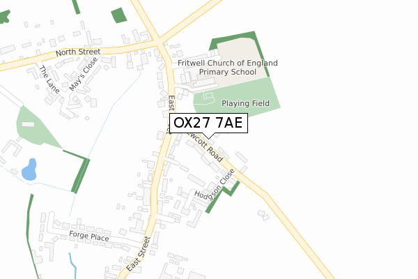
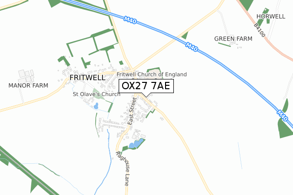
OX27 7AE is located in the Deddington electoral ward, within the local authority district of Cherwell and the English Parliamentary constituency of Banbury. The Sub Integrated Care Board (ICB) Location is NHS Buckinghamshire, Oxfordshire and Berkshire West ICB - 10Q and the police force is Thames Valley. This postcode has been in use since September 2019.


GetTheData
Source: OS Open Zoomstack (Ordnance Survey)
Licence: Open Government Licence (requires attribution)
Attribution: Contains OS data © Crown copyright and database right 2025
Source: Open Postcode Geo
Licence: Open Government Licence (requires attribution)
Attribution: Contains OS data © Crown copyright and database right 2025; Contains Royal Mail data © Royal Mail copyright and database right 2025; Source: Office for National Statistics licensed under the Open Government Licence v.3.0
| Easting | 452906 |
| Northing | 229275 |
| Latitude | 51.959459 |
| Longitude | -1.231447 |
GetTheData
Source: Open Postcode Geo
Licence: Open Government Licence
| Country | England |
| Postcode District | OX27 |
➜ See where OX27 is on a map ➜ Where is Fritwell? | |
GetTheData
Source: Land Registry Price Paid Data
Licence: Open Government Licence
| Ward | Deddington |
| Constituency | Banbury |
GetTheData
Source: ONS Postcode Database
Licence: Open Government Licence
| The George And Dragon Ph (East Street) | Fritwell | 137m |
| The George And Dragon Ph (East Street) | Fritwell | 179m |
| Forge Place | Fritwell | 320m |
| Mays Close (North Street) | Fritwell | 348m |
| Mays Close (North Street) | Fritwell | 353m |
| Heyford Station | 6.5km |
GetTheData
Source: NaPTAN
Licence: Open Government Licence
GetTheData
Source: ONS Postcode Database
Licence: Open Government Licence


➜ Get more ratings from the Food Standards Agency
GetTheData
Source: Food Standards Agency
Licence: FSA terms & conditions
| Last Collection | |||
|---|---|---|---|
| Location | Mon-Fri | Sat | Distance |
| Fritwell Post Office | 16:00 | 08:00 | 178m |
| Somerton Road | 16:00 | 08:15 | 530m |
| Ardley Post Office | 16:00 | 09:15 | 1,872m |
GetTheData
Source: Dracos
Licence: Creative Commons Attribution-ShareAlike
The below table lists the International Territorial Level (ITL) codes (formerly Nomenclature of Territorial Units for Statistics (NUTS) codes) and Local Administrative Units (LAU) codes for OX27 7AE:
| ITL 1 Code | Name |
|---|---|
| TLJ | South East (England) |
| ITL 2 Code | Name |
| TLJ1 | Berkshire, Buckinghamshire and Oxfordshire |
| ITL 3 Code | Name |
| TLJ14 | Oxfordshire CC |
| LAU 1 Code | Name |
| E07000177 | Cherwell |
GetTheData
Source: ONS Postcode Directory
Licence: Open Government Licence
The below table lists the Census Output Area (OA), Lower Layer Super Output Area (LSOA), and Middle Layer Super Output Area (MSOA) for OX27 7AE:
| Code | Name | |
|---|---|---|
| OA | E00145227 | |
| LSOA | E01028506 | Cherwell 010D |
| MSOA | E02005930 | Cherwell 010 |
GetTheData
Source: ONS Postcode Directory
Licence: Open Government Licence
| OX27 7QA | Fewcott Road | 66m |
| OX27 7QP | Fewcott View | 87m |
| OX27 7PX | East Street | 117m |
| OX27 7PZ | East Street | 153m |
| OX27 7QB | Hodgson Close | 161m |
| OX27 7PY | Old School Lane | 186m |
| OX27 7QH | East Street | 197m |
| OX27 7QF | East Street | 277m |
| OX27 7QJ | North Street | 281m |
| OX27 7QN | Mays Close | 331m |
GetTheData
Source: Open Postcode Geo; Land Registry Price Paid Data
Licence: Open Government Licence