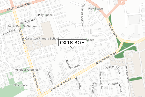
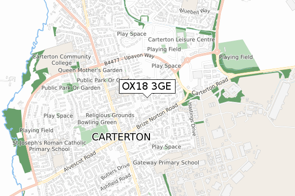
OX18 3GE is located in the Carterton North East electoral ward, within the local authority district of West Oxfordshire and the English Parliamentary constituency of Witney. The Sub Integrated Care Board (ICB) Location is NHS Buckinghamshire, Oxfordshire and Berkshire West ICB - 10Q and the police force is Thames Valley. This postcode has been in use since April 2020.


GetTheData
Source: OS Open Zoomstack (Ordnance Survey)
Licence: Open Government Licence (requires attribution)
Attribution: Contains OS data © Crown copyright and database right 2025
Source: Open Postcode Geo
Licence: Open Government Licence (requires attribution)
Attribution: Contains OS data © Crown copyright and database right 2025; Contains Royal Mail data © Royal Mail copyright and database right 2025; Source: Office for National Statistics licensed under the Open Government Licence v.3.0
| Easting | 428315 |
| Northing | 207131 |
| Latitude | 51.762157 |
| Longitude | -1.591118 |
GetTheData
Source: Open Postcode Geo
Licence: Open Government Licence
| Country | England |
| Postcode District | OX18 |
➜ See where OX18 is on a map ➜ Where is Carterton? | |
GetTheData
Source: Land Registry Price Paid Data
Licence: Open Government Licence
| Ward | Carterton North East |
| Constituency | Witney |
GetTheData
Source: ONS Postcode Database
Licence: Open Government Licence
3, HENLEY WALK, CARTERTON, OX18 3GE 2020 24 JUL £374,950 |
GetTheData
Source: HM Land Registry Price Paid Data
Licence: Contains HM Land Registry data © Crown copyright and database right 2025. This data is licensed under the Open Government Licence v3.0.
| Wycombe Way (Brize Norton Road) | Carterton | 186m |
| Wycombe Way (Brize Norton Road) | Carterton | 192m |
| Bovingdon Road (Upavon Way) | Carterton | 293m |
| Bovingdon Road (Upavon Way) | Carterton | 305m |
| Crossroads (Brize Norton Road) | Carterton | 323m |
GetTheData
Source: NaPTAN
Licence: Open Government Licence
GetTheData
Source: ONS Postcode Database
Licence: Open Government Licence


➜ Get more ratings from the Food Standards Agency
GetTheData
Source: Food Standards Agency
Licence: FSA terms & conditions
| Last Collection | |||
|---|---|---|---|
| Location | Mon-Fri | Sat | Distance |
| Carterton Sorting Office | 18:00 | 11:30 | 504m |
| Rock Close | 16:30 | 11:30 | 630m |
| Oakfield Road | 16:15 | 11:30 | 945m |
GetTheData
Source: Dracos
Licence: Creative Commons Attribution-ShareAlike
The below table lists the International Territorial Level (ITL) codes (formerly Nomenclature of Territorial Units for Statistics (NUTS) codes) and Local Administrative Units (LAU) codes for OX18 3GE:
| ITL 1 Code | Name |
|---|---|
| TLJ | South East (England) |
| ITL 2 Code | Name |
| TLJ1 | Berkshire, Buckinghamshire and Oxfordshire |
| ITL 3 Code | Name |
| TLJ14 | Oxfordshire CC |
| LAU 1 Code | Name |
| E07000181 | West Oxfordshire |
GetTheData
Source: ONS Postcode Directory
Licence: Open Government Licence
The below table lists the Census Output Area (OA), Lower Layer Super Output Area (LSOA), and Middle Layer Super Output Area (MSOA) for OX18 3GE:
| Code | Name | |
|---|---|---|
| OA | E00146535 | |
| LSOA | E01032951 | West Oxfordshire 013G |
| MSOA | E02006005 | West Oxfordshire 013 |
GetTheData
Source: ONS Postcode Directory
Licence: Open Government Licence
| OX18 3HS | Humphries Close | 108m |
| OX18 3HG | Hatwell Row | 149m |
| OX18 3LQ | Brize Norton Road | 161m |
| OX18 3AZ | Sellwood Drive | 184m |
| OX18 3HW | Brize Norton Road | 201m |
| OX18 3JF | Brize Norton Road | 209m |
| OX18 3JD | Brize Norton Road | 209m |
| OX18 3HZ | Church View | 219m |
| OX18 3JA | Church View | 266m |
| OX18 3FE | Tyndale Close | 288m |
GetTheData
Source: Open Postcode Geo; Land Registry Price Paid Data
Licence: Open Government Licence