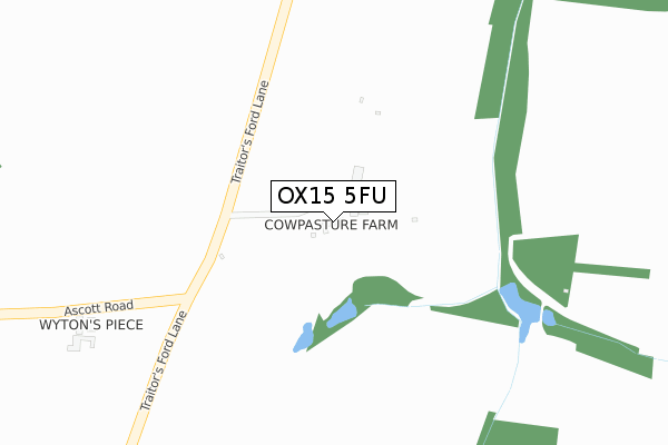
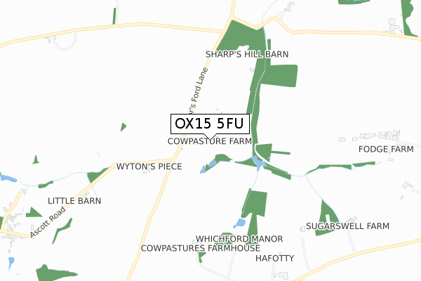
OX15 5FU is located in the Deddington electoral ward, within the local authority district of Cherwell and the English Parliamentary constituency of Banbury. The Sub Integrated Care Board (ICB) Location is NHS Buckinghamshire, Oxfordshire and Berkshire West ICB - 10Q and the police force is Thames Valley. This postcode has been in use since October 2019.


GetTheData
Source: OS Open Zoomstack (Ordnance Survey)
Licence: Open Government Licence (requires attribution)
Attribution: Contains OS data © Crown copyright and database right 2025
Source: Open Postcode Geo
Licence: Open Government Licence (requires attribution)
Attribution: Contains OS data © Crown copyright and database right 2025; Contains Royal Mail data © Royal Mail copyright and database right 2025; Source: Office for National Statistics licensed under the Open Government Licence v.3.0
| Easting | 433519 |
| Northing | 235273 |
| Latitude | 52.014888 |
| Longitude | -1.512993 |
GetTheData
Source: Open Postcode Geo
Licence: Open Government Licence
| Country | England |
| Postcode District | OX15 |
➜ See where OX15 is on a map | |
GetTheData
Source: Land Registry Price Paid Data
Licence: Open Government Licence
| Ward | Deddington |
| Constituency | Banbury |
GetTheData
Source: ONS Postcode Database
Licence: Open Government Licence
GetTheData
Source: ONS Postcode Database
Licence: Open Government Licence

➜ Get more ratings from the Food Standards Agency
GetTheData
Source: Food Standards Agency
Licence: FSA terms & conditions
| Last Collection | |||
|---|---|---|---|
| Location | Mon-Fri | Sat | Distance |
| Whichford | 16:15 | 07:30 | 2,145m |
| Netting Street | 16:15 | 08:00 | 2,777m |
| Sibford Ferris Post Office | 16:30 | 08:00 | 3,137m |
GetTheData
Source: Dracos
Licence: Creative Commons Attribution-ShareAlike
The below table lists the International Territorial Level (ITL) codes (formerly Nomenclature of Territorial Units for Statistics (NUTS) codes) and Local Administrative Units (LAU) codes for OX15 5FU:
| ITL 1 Code | Name |
|---|---|
| TLJ | South East (England) |
| ITL 2 Code | Name |
| TLJ1 | Berkshire, Buckinghamshire and Oxfordshire |
| ITL 3 Code | Name |
| TLJ14 | Oxfordshire CC |
| LAU 1 Code | Name |
| E07000177 | Cherwell |
GetTheData
Source: ONS Postcode Directory
Licence: Open Government Licence
The below table lists the Census Output Area (OA), Lower Layer Super Output Area (LSOA), and Middle Layer Super Output Area (MSOA) for OX15 5FU:
| Code | Name | |
|---|---|---|
| OA | E00145141 | |
| LSOA | E01028486 | Cherwell 009C |
| MSOA | E02005929 | Cherwell 009 |
GetTheData
Source: ONS Postcode Directory
Licence: Open Government Licence
| OX15 5BU | 1333m | |
| OX15 5DB | 1341m | |
| CV36 5PP | 1351m | |
| OX15 5DD | 1484m | |
| OX15 5DE | 1577m | |
| OX15 5FE | Traitors Ford Lane | 1633m |
| OX15 5DA | 1742m | |
| CV36 5PN | Hillfoot | 1983m |
| CV36 5PE | 2023m | |
| CV36 5JB | 2106m |
GetTheData
Source: Open Postcode Geo; Land Registry Price Paid Data
Licence: Open Government Licence