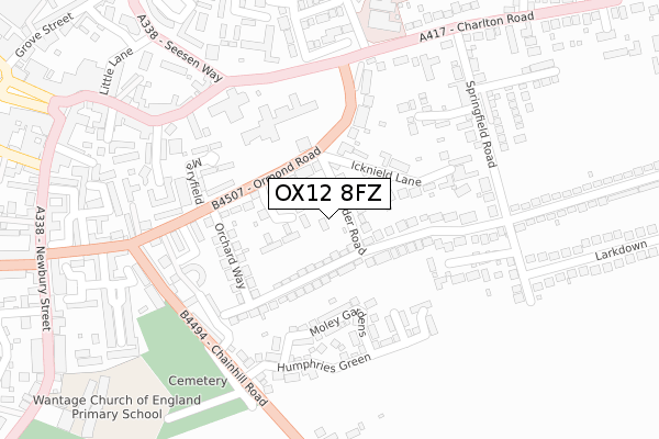
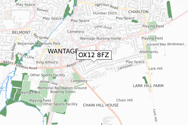
OX12 8FZ is located in the Wantage Charlton electoral ward, within the local authority district of Vale of White Horse and the English Parliamentary constituency of Wantage. The Sub Integrated Care Board (ICB) Location is NHS Buckinghamshire, Oxfordshire and Berkshire West ICB - 10Q and the police force is Thames Valley. This postcode has been in use since January 2018.


GetTheData
Source: OS Open Zoomstack (Ordnance Survey)
Licence: Open Government Licence (requires attribution)
Attribution: Contains OS data © Crown copyright and database right 2025
Source: Open Postcode Geo
Licence: Open Government Licence (requires attribution)
Attribution: Contains OS data © Crown copyright and database right 2025; Contains Royal Mail data © Royal Mail copyright and database right 2025; Source: Office for National Statistics licensed under the Open Government Licence v.3.0
| Easting | 440294 |
| Northing | 187718 |
| Latitude | 51.586884 |
| Longitude | -1.419788 |
GetTheData
Source: Open Postcode Geo
Licence: Open Government Licence
| Country | England |
| Postcode District | OX12 |
➜ See where OX12 is on a map ➜ Where is Wantage? | |
GetTheData
Source: Land Registry Price Paid Data
Licence: Open Government Licence
| Ward | Wantage Charlton |
| Constituency | Wantage |
GetTheData
Source: ONS Postcode Database
Licence: Open Government Licence
| Springfield Road | Charlton | 261m |
| Community Hospital (Charlton Road) | Charlton | 266m |
| Community Hospital (Charlton Road) | Charlton | 275m |
| King Alfreds School East (Springfield Road) | Charlton | 302m |
| Seesen Way | Wantage | 341m |
GetTheData
Source: NaPTAN
Licence: Open Government Licence
GetTheData
Source: ONS Postcode Database
Licence: Open Government Licence


➜ Get more ratings from the Food Standards Agency
GetTheData
Source: Food Standards Agency
Licence: FSA terms & conditions
| Last Collection | |||
|---|---|---|---|
| Location | Mon-Fri | Sat | Distance |
| Denchworth Road | 17:00 | 08:15 | 212m |
| Wantage Post Office | 18:30 | 11:30 | 371m |
| Newbury Street | 17:00 | 08:15 | 465m |
GetTheData
Source: Dracos
Licence: Creative Commons Attribution-ShareAlike
The below table lists the International Territorial Level (ITL) codes (formerly Nomenclature of Territorial Units for Statistics (NUTS) codes) and Local Administrative Units (LAU) codes for OX12 8FZ:
| ITL 1 Code | Name |
|---|---|
| TLJ | South East (England) |
| ITL 2 Code | Name |
| TLJ1 | Berkshire, Buckinghamshire and Oxfordshire |
| ITL 3 Code | Name |
| TLJ14 | Oxfordshire CC |
| LAU 1 Code | Name |
| E07000180 | Vale of White Horse |
GetTheData
Source: ONS Postcode Directory
Licence: Open Government Licence
The below table lists the Census Output Area (OA), Lower Layer Super Output Area (LSOA), and Middle Layer Super Output Area (MSOA) for OX12 8FZ:
| Code | Name | |
|---|---|---|
| OA | E00146475 | |
| LSOA | E01028757 | Vale of White Horse 015F |
| MSOA | E02005992 | Vale of White Horse 015 |
GetTheData
Source: ONS Postcode Directory
Licence: Open Government Licence
| OX12 8EE | Trinder Road | 59m |
| OX12 8EW | Chandlers Close | 67m |
| OX12 8DZ | Ormond Road | 85m |
| OX12 8ED | Orchard Way | 97m |
| OX12 8EF | Icknield Lane | 138m |
| OX12 8FW | Moley Gardens | 163m |
| OX12 8EB | Orchard Way | 172m |
| OX12 8EG | Ormond Road | 176m |
| OX12 8DY | Maryfield | 189m |
| OX12 8EX | Springfield Road | 203m |
GetTheData
Source: Open Postcode Geo; Land Registry Price Paid Data
Licence: Open Government Licence