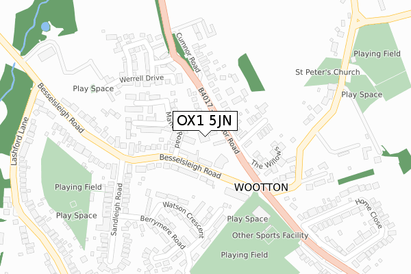
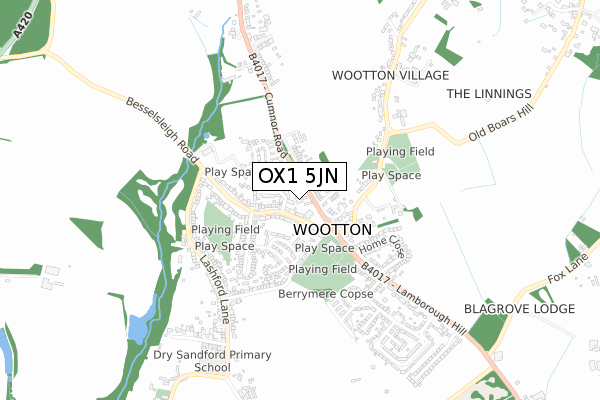
OX1 5JN is located in the Wootton electoral ward, within the local authority district of Vale of White Horse and the English Parliamentary constituency of Oxford West and Abingdon. The Sub Integrated Care Board (ICB) Location is NHS Buckinghamshire, Oxfordshire and Berkshire West ICB - 10Q and the police force is Thames Valley. This postcode has been in use since August 2018.


GetTheData
Source: OS Open Zoomstack (Ordnance Survey)
Licence: Open Government Licence (requires attribution)
Attribution: Contains OS data © Crown copyright and database right 2024
Source: Open Postcode Geo
Licence: Open Government Licence (requires attribution)
Attribution: Contains OS data © Crown copyright and database right 2024; Contains Royal Mail data © Royal Mail copyright and database right 2024; Source: Office for National Statistics licensed under the Open Government Licence v.3.0
| Easting | 447315 |
| Northing | 201225 |
| Latitude | 51.707779 |
| Longitude | -1.316634 |
GetTheData
Source: Open Postcode Geo
Licence: Open Government Licence
| Country | England |
| Postcode District | OX1 |
➜ See where OX1 is on a map ➜ Where is Wootton? | |
GetTheData
Source: Land Registry Price Paid Data
Licence: Open Government Licence
| Ward | Wootton |
| Constituency | Oxford West And Abingdon |
GetTheData
Source: ONS Postcode Database
Licence: Open Government Licence
| The Willows (Cumnor Road) | Wootton | 65m |
| The Willows (Cumnor Road) | Wootton | 66m |
| The Bystander Ph (Besselsleigh Road) | Wootton | 129m |
| The Bystander Ph (Besselsleigh Road) | Wootton | 138m |
| Sandleigh Road (Besselsleigh Road) | Wootton | 228m |
GetTheData
Source: NaPTAN
Licence: Open Government Licence
GetTheData
Source: ONS Postcode Database
Licence: Open Government Licence


➜ Get more ratings from the Food Standards Agency
GetTheData
Source: Food Standards Agency
Licence: FSA terms & conditions
| Last Collection | |||
|---|---|---|---|
| Location | Mon-Fri | Sat | Distance |
| Lamborough Hill | 16:30 | 09:30 | 461m |
| Wooton (Near Abingdon) | 16:15 | 10:00 | 806m |
| Honeybottom Lane | 16:00 | 07:30 | 1,028m |
GetTheData
Source: Dracos
Licence: Creative Commons Attribution-ShareAlike
The below table lists the International Territorial Level (ITL) codes (formerly Nomenclature of Territorial Units for Statistics (NUTS) codes) and Local Administrative Units (LAU) codes for OX1 5JN:
| ITL 1 Code | Name |
|---|---|
| TLJ | South East (England) |
| ITL 2 Code | Name |
| TLJ1 | Berkshire, Buckinghamshire and Oxfordshire |
| ITL 3 Code | Name |
| TLJ14 | Oxfordshire CC |
| LAU 1 Code | Name |
| E07000180 | Vale of White Horse |
GetTheData
Source: ONS Postcode Directory
Licence: Open Government Licence
The below table lists the Census Output Area (OA), Lower Layer Super Output Area (LSOA), and Middle Layer Super Output Area (MSOA) for OX1 5JN:
| Code | Name | |
|---|---|---|
| OA | E00173205 | |
| LSOA | E01028752 | Vale of White Horse 003G |
| MSOA | E02005980 | Vale of White Horse 003 |
GetTheData
Source: ONS Postcode Directory
Licence: Open Government Licence
| OX13 6DG | Manor Road | 56m |
| OX1 5JP | Cumnor Road | 95m |
| OX13 6DW | Besselsleigh Road | 129m |
| OX13 6DN | Besselsleigh Road | 136m |
| OX13 6DQ | Beech Close | 156m |
| OX13 6DL | Leigh Croft | 177m |
| OX1 5LD | The Willows | 181m |
| OX13 6DS | Watson Crescent | 202m |
| OX13 6DR | Mitchell Close | 215m |
| OX1 5LF | Werrell Drive | 226m |
GetTheData
Source: Open Postcode Geo; Land Registry Price Paid Data
Licence: Open Government Licence