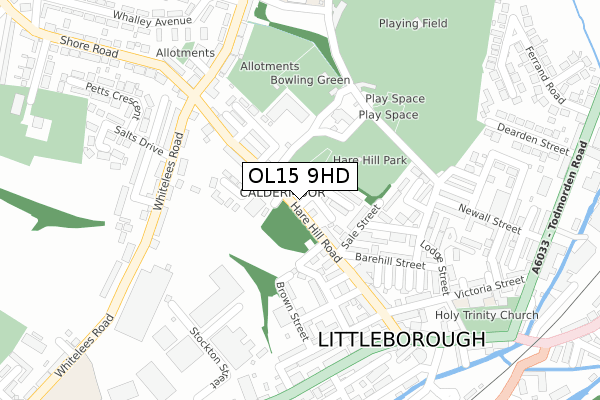
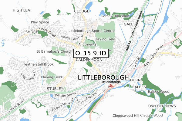
OL15 9HD is located in the Littleborough Lakeside electoral ward, within the metropolitan district of Rochdale and the English Parliamentary constituency of Rochdale. The Sub Integrated Care Board (ICB) Location is NHS Greater Manchester ICB - 01D and the police force is Greater Manchester. This postcode has been in use since April 2020.


GetTheData
Source: OS Open Zoomstack (Ordnance Survey)
Licence: Open Government Licence (requires attribution)
Attribution: Contains OS data © Crown copyright and database right 2024
Source: Open Postcode Geo
Licence: Open Government Licence (requires attribution)
Attribution: Contains OS data © Crown copyright and database right 2024; Contains Royal Mail data © Royal Mail copyright and database right 2024; Source: Office for National Statistics licensed under the Open Government Licence v.3.0
| Easting | 393615 |
| Northing | 416601 |
| Latitude | 53.645892 |
| Longitude | -2.098061 |
GetTheData
Source: Open Postcode Geo
Licence: Open Government Licence
| Country | England |
| Postcode District | OL15 |
➜ See where OL15 is on a map ➜ Where is Littleborough? | |
GetTheData
Source: Land Registry Price Paid Data
Licence: Open Government Licence
| Ward | Littleborough Lakeside |
| Constituency | Rochdale |
GetTheData
Source: ONS Postcode Database
Licence: Open Government Licence
22, DIVIDEND DRIVE, LITTLEBOROUGH, OL15 9HD 2021 29 JUL £299,995 |
GetTheData
Source: HM Land Registry Price Paid Data
Licence: Contains HM Land Registry data © Crown copyright and database right 2024. This data is licensed under the Open Government Licence v3.0.
| Hare Hill Rd/Boundary St (Hare Hill Rd) | Littleborough | 89m |
| Hare Hill Rd/Boundary St (Hare Hill Rd) | Littleborough | 106m |
| Hare Hill Rd/Greenwood St (Hare Hill Rd) | Littleborough | 130m |
| Hare Hill Rd/Greenwood St (Hare Hill Rd) | Littleborough | 131m |
| Church St/Littleborough Square (Church Street) | Littleborough | 248m |
| Littleborough Station | 0.4km |
| Smithy Bridge Station | 1.7km |
| Rochdale Station | 5.4km |
GetTheData
Source: NaPTAN
Licence: Open Government Licence
GetTheData
Source: ONS Postcode Database
Licence: Open Government Licence


➜ Get more ratings from the Food Standards Agency
GetTheData
Source: Food Standards Agency
Licence: FSA terms & conditions
| Last Collection | |||
|---|---|---|---|
| Location | Mon-Fri | Sat | Distance |
| Caldermoor P.o. | 17:00 | 11:30 | 340m |
| 17 Todmorden Road | 17:15 | 11:00 | 349m |
| 109 Church Street | 17:30 | 11:00 | 349m |
GetTheData
Source: Dracos
Licence: Creative Commons Attribution-ShareAlike
The below table lists the International Territorial Level (ITL) codes (formerly Nomenclature of Territorial Units for Statistics (NUTS) codes) and Local Administrative Units (LAU) codes for OL15 9HD:
| ITL 1 Code | Name |
|---|---|
| TLD | North West (England) |
| ITL 2 Code | Name |
| TLD3 | Greater Manchester |
| ITL 3 Code | Name |
| TLD37 | Greater Manchester North East |
| LAU 1 Code | Name |
| E08000005 | Rochdale |
GetTheData
Source: ONS Postcode Directory
Licence: Open Government Licence
The below table lists the Census Output Area (OA), Lower Layer Super Output Area (LSOA), and Middle Layer Super Output Area (MSOA) for OL15 9HD:
| Code | Name | |
|---|---|---|
| OA | E00027932 | |
| LSOA | E01005522 | Rochdale 001C |
| MSOA | E02001132 | Rochdale 001 |
GetTheData
Source: ONS Postcode Directory
Licence: Open Government Licence
| OL15 9BB | Sale Street | 45m |
| OL15 9BD | Pine Street | 47m |
| OL15 9HE | Hare Hill Road | 61m |
| OL15 8BG | Pembroke Street | 101m |
| OL15 8BB | Prospect Street | 101m |
| OL15 8BD | Greenwood Place | 104m |
| OL15 9BE | Sutcliffe Street | 109m |
| OL15 8BE | Greenwood Street | 120m |
| OL15 9BS | Leah Street | 121m |
| OL15 9BN | Park View | 126m |
GetTheData
Source: Open Postcode Geo; Land Registry Price Paid Data
Licence: Open Government Licence