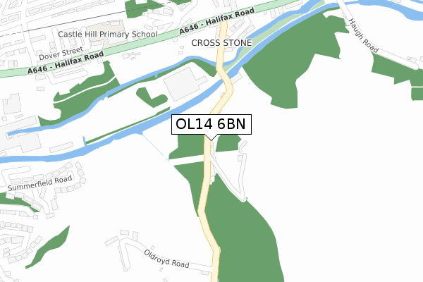
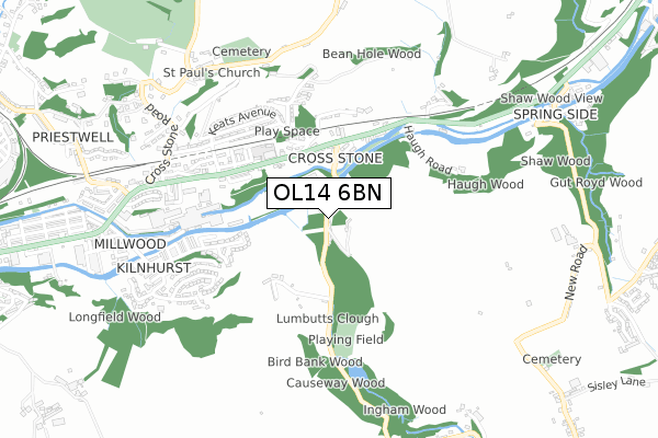
OL14 6BN is located in the Todmorden electoral ward, within the metropolitan district of Calderdale and the English Parliamentary constituency of Calder Valley. The Sub Integrated Care Board (ICB) Location is NHS West Yorkshire ICB - 02T and the police force is West Yorkshire. This postcode has been in use since April 2020.


GetTheData
Source: OS Open Zoomstack (Ordnance Survey)
Licence: Open Government Licence (requires attribution)
Attribution: Contains OS data © Crown copyright and database right 2024
Source: Open Postcode Geo
Licence: Open Government Licence (requires attribution)
Attribution: Contains OS data © Crown copyright and database right 2024; Contains Royal Mail data © Royal Mail copyright and database right 2024; Source: Office for National Statistics licensed under the Open Government Licence v.3.0
| Easting | 393570 |
| Northing | 421984 |
| Latitude | 53.694274 |
| Longitude | -2.098856 |
GetTheData
Source: Open Postcode Geo
Licence: Open Government Licence
| Country | England |
| Postcode District | OL14 |
➜ See where OL14 is on a map ➜ Where is Todmorden? | |
GetTheData
Source: Land Registry Price Paid Data
Licence: Open Government Licence
| Ward | Todmorden |
| Constituency | Calder Valley |
GetTheData
Source: ONS Postcode Database
Licence: Open Government Licence
| Rochdale Rd Square Road (Rochdale Road) | Walsden | 94m |
| Rochdale Rd Square Road (Rochdale Road) | Walsden | 127m |
| Hollins Road Works (Hollins Road) | Walsden | 139m |
| Hollins Road Works (Hollins Road) | Walsden | 145m |
| Rochdale Rd Winterbutlee Road (Rochdale Road) | Walsden | 209m |
| Walsden Station | 0.4km |
| Todmorden Station | 2.2km |
GetTheData
Source: NaPTAN
Licence: Open Government Licence
GetTheData
Source: ONS Postcode Database
Licence: Open Government Licence


➜ Get more ratings from the Food Standards Agency
GetTheData
Source: Food Standards Agency
Licence: FSA terms & conditions
| Last Collection | |||
|---|---|---|---|
| Location | Mon-Fri | Sat | Distance |
| Walsden P.o. | 17:15 | 11:30 | 60m |
| Walsden Station | 17:15 | 11:30 | 446m |
| Copperas | 17:15 | 11:30 | 979m |
GetTheData
Source: Dracos
Licence: Creative Commons Attribution-ShareAlike
The below table lists the International Territorial Level (ITL) codes (formerly Nomenclature of Territorial Units for Statistics (NUTS) codes) and Local Administrative Units (LAU) codes for OL14 6BN:
| ITL 1 Code | Name |
|---|---|
| TLE | Yorkshire and The Humber |
| ITL 2 Code | Name |
| TLE4 | West Yorkshire |
| ITL 3 Code | Name |
| TLE44 | Calderdale and Kirklees |
| LAU 1 Code | Name |
| E08000033 | Calderdale |
GetTheData
Source: ONS Postcode Directory
Licence: Open Government Licence
The below table lists the Census Output Area (OA), Lower Layer Super Output Area (LSOA), and Middle Layer Super Output Area (MSOA) for OL14 6BN:
| Code | Name | |
|---|---|---|
| OA | E00054874 | |
| LSOA | E01010885 | Calderdale 022B |
| MSOA | E02002265 | Calderdale 022 |
GetTheData
Source: ONS Postcode Directory
Licence: Open Government Licence
| OL14 6BG | St Peters Gate | 38m |
| OL14 6SQ | Hollins Street | 73m |
| OL14 6SW | St Peters Gate | 87m |
| OL14 6SN | Dampier Street | 95m |
| OL14 7SN | Rochdale Road | 101m |
| OL14 6SL | Knowsley Avenue | 114m |
| OL14 7SW | Newall Street | 117m |
| OL14 7SP | Nelson Street | 124m |
| OL14 7SR | Unity Street | 126m |
| OL14 6PY | Church Walk | 158m |
GetTheData
Source: Open Postcode Geo; Land Registry Price Paid Data
Licence: Open Government Licence