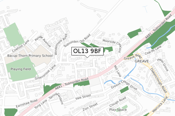
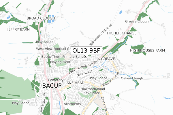
OL13 9BF is located in the Greensclough electoral ward, within the local authority district of Rossendale and the English Parliamentary constituency of Rossendale and Darwen. The Sub Integrated Care Board (ICB) Location is NHS Lancashire and South Cumbria ICB - 01A and the police force is Lancashire. This postcode has been in use since August 2019.


GetTheData
Source: OS Open Zoomstack (Ordnance Survey)
Licence: Open Government Licence (requires attribution)
Attribution: Contains OS data © Crown copyright and database right 2025
Source: Open Postcode Geo
Licence: Open Government Licence (requires attribution)
Attribution: Contains OS data © Crown copyright and database right 2025; Contains Royal Mail data © Royal Mail copyright and database right 2025; Source: Office for National Statistics licensed under the Open Government Licence v.3.0
| Easting | 387286 |
| Northing | 423416 |
| Latitude | 53.707028 |
| Longitude | -2.194082 |
GetTheData
Source: Open Postcode Geo
Licence: Open Government Licence
| Country | England |
| Postcode District | OL13 |
➜ See where OL13 is on a map ➜ Where is Bacup? | |
GetTheData
Source: Land Registry Price Paid Data
Licence: Open Government Licence
| Ward | Greensclough |
| Constituency | Rossendale And Darwen |
GetTheData
Source: ONS Postcode Database
Licence: Open Government Licence
3, KESWICK DRIVE, BACUP, OL13 9BF 2021 23 AUG £295,000 |
4, KESWICK DRIVE, BACUP, OL13 9BF 2020 14 OCT £280,000 |
7, KESWICK DRIVE, BACUP, OL13 9BF 2019 8 NOV £215,000 |
GetTheData
Source: HM Land Registry Price Paid Data
Licence: Contains HM Land Registry data © Crown copyright and database right 2025. This data is licensed under the Open Government Licence v3.0.
| Carlton Street (Yorkshire Street) | Bacup | 134m |
| Windermere Road (Greensnook Lane) | Lane Head | 143m |
| Grove Street (Yorkshire Street) | Bacup | 147m |
| Greave Road (Todmorden Road) | Bacup | 210m |
| Earnshaw Road (Todmorden Road) | Bacup | 303m |
GetTheData
Source: NaPTAN
Licence: Open Government Licence
GetTheData
Source: ONS Postcode Database
Licence: Open Government Licence


➜ Get more ratings from the Food Standards Agency
GetTheData
Source: Food Standards Agency
Licence: FSA terms & conditions
| Last Collection | |||
|---|---|---|---|
| Location | Mon-Fri | Sat | Distance |
| South Street | 17:30 | 11:30 | 458m |
| Bacup Bo | 17:45 | 12:00 | 604m |
| 37 Market Street | 17:15 | 11:30 | 719m |
GetTheData
Source: Dracos
Licence: Creative Commons Attribution-ShareAlike
The below table lists the International Territorial Level (ITL) codes (formerly Nomenclature of Territorial Units for Statistics (NUTS) codes) and Local Administrative Units (LAU) codes for OL13 9BF:
| ITL 1 Code | Name |
|---|---|
| TLD | North West (England) |
| ITL 2 Code | Name |
| TLD4 | Lancashire |
| ITL 3 Code | Name |
| TLD46 | East Lancashire |
| LAU 1 Code | Name |
| E07000125 | Rossendale |
GetTheData
Source: ONS Postcode Directory
Licence: Open Government Licence
The below table lists the Census Output Area (OA), Lower Layer Super Output Area (LSOA), and Middle Layer Super Output Area (MSOA) for OL13 9BF:
| Code | Name | |
|---|---|---|
| OA | E00128757 | |
| LSOA | E01025368 | Rossendale 003B |
| MSOA | E02005280 | Rossendale 003 |
GetTheData
Source: ONS Postcode Directory
Licence: Open Government Licence
| OL13 9DT | Greensnook Mews | 71m |
| OL13 9DR | Beech Street | 74m |
| OL13 9DS | Beech Close | 94m |
| OL13 9DZ | Christ Church Street | 101m |
| OL13 9EB | Elm Street | 119m |
| OL13 9EA | Oak Street | 123m |
| OL13 9DQ | Greensnook Lane | 142m |
| OL13 9DX | Todmorden Road | 143m |
| OL13 9HY | Moorside Crescent | 148m |
| OL13 9DN | Windermere Road | 179m |
GetTheData
Source: Open Postcode Geo; Land Registry Price Paid Data
Licence: Open Government Licence