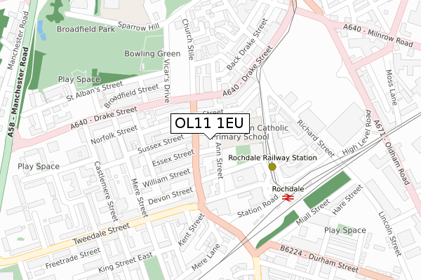
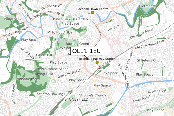
OL11 1EU is located in the Milkstone & Deeplish electoral ward, within the metropolitan district of Rochdale and the English Parliamentary constituency of Rochdale. The Sub Integrated Care Board (ICB) Location is NHS Greater Manchester ICB - 01D and the police force is Greater Manchester. This postcode has been in use since December 2019.


GetTheData
Source: OS Open Zoomstack (Ordnance Survey)
Licence: Open Government Licence (requires attribution)
Attribution: Contains OS data © Crown copyright and database right 2024
Source: Open Postcode Geo
Licence: Open Government Licence (requires attribution)
Attribution: Contains OS data © Crown copyright and database right 2024; Contains Royal Mail data © Royal Mail copyright and database right 2024; Source: Office for National Statistics licensed under the Open Government Licence v.3.0
| Easting | 389719 |
| Northing | 412780 |
| Latitude | 53.611486 |
| Longitude | -2.156867 |
GetTheData
Source: Open Postcode Geo
Licence: Open Government Licence
| Country | England |
| Postcode District | OL11 |
➜ See where OL11 is on a map ➜ Where is Rochdale? | |
GetTheData
Source: Land Registry Price Paid Data
Licence: Open Government Licence
| Ward | Milkstone & Deeplish |
| Constituency | Rochdale |
GetTheData
Source: ONS Postcode Database
Licence: Open Government Licence
| Drake St/Milkstone Rd (Drake St) | Rochdale | 105m |
| Drake St/Milkstone Rd (Drake St) | Rochdale | 112m |
| Rochdale Railway Stn (Station Road) | Rochdale | 207m |
| Tweedale St/Mere St (Tweedale St) | Rochdale | 214m |
| Rochdale Railway Stn (Station Rd) | Rochdale | 227m |
| Rochdale Railway Station (Manchester Metrolink) (Maclure Rd) | Rochdale | 168m |
| Rochdale Interchange (Manchester Metrolink) (Smith Street) | Rochdale | 658m |
| Newbold (Manchester Metrolink) (Kingsway) | Newbold | 1,428m |
| Rochdale Station | 0.3km |
| Castleton (Manchester) Station | 2.6km |
| Smithy Bridge Station | 3.8km |
GetTheData
Source: NaPTAN
Licence: Open Government Licence
| Percentage of properties with Next Generation Access | 100.0% |
| Percentage of properties with Superfast Broadband | 100.0% |
| Percentage of properties with Ultrafast Broadband | 100.0% |
| Percentage of properties with Full Fibre Broadband | 0.0% |
Superfast Broadband is between 30Mbps and 300Mbps
Ultrafast Broadband is > 300Mbps
| Percentage of properties unable to receive 2Mbps | 0.0% |
| Percentage of properties unable to receive 5Mbps | 0.0% |
| Percentage of properties unable to receive 10Mbps | 0.0% |
| Percentage of properties unable to receive 30Mbps | 0.0% |
GetTheData
Source: Ofcom
Licence: Ofcom Terms of Use (requires attribution)
GetTheData
Source: ONS Postcode Database
Licence: Open Government Licence


➜ Get more ratings from the Food Standards Agency
GetTheData
Source: Food Standards Agency
Licence: FSA terms & conditions
| Last Collection | |||
|---|---|---|---|
| Location | Mon-Fri | Sat | Distance |
| 13a Milnrow Road | 17:30 | 11:00 | 130m |
| Wet Rake | 18:30 | 11:00 | 391m |
| Packer Street | 19:00 | 562m | |
GetTheData
Source: Dracos
Licence: Creative Commons Attribution-ShareAlike
The below table lists the International Territorial Level (ITL) codes (formerly Nomenclature of Territorial Units for Statistics (NUTS) codes) and Local Administrative Units (LAU) codes for OL11 1EU:
| ITL 1 Code | Name |
|---|---|
| TLD | North West (England) |
| ITL 2 Code | Name |
| TLD3 | Greater Manchester |
| ITL 3 Code | Name |
| TLD37 | Greater Manchester North East |
| LAU 1 Code | Name |
| E08000005 | Rochdale |
GetTheData
Source: ONS Postcode Directory
Licence: Open Government Licence
The below table lists the Census Output Area (OA), Lower Layer Super Output Area (LSOA), and Middle Layer Super Output Area (MSOA) for OL11 1EU:
| Code | Name | |
|---|---|---|
| OA | E00027747 | |
| LSOA | E01005485 | Rochdale 015D |
| MSOA | E02001146 | Rochdale 015 |
GetTheData
Source: ONS Postcode Directory
Licence: Open Government Licence
| OL11 1ED | Milkstone Road | 22m |
| OL11 1EN | Henry Street | 59m |
| OL11 1EJ | Essex Street | 79m |
| OL11 1EL | Sussex Street | 88m |
| OL16 1QB | Drake Street | 91m |
| OL11 1HW | William Street | 94m |
| OL11 1EZ | Ann Street | 111m |
| OL16 1QD | Drake Street | 123m |
| OL16 1PZ | Drake Street | 126m |
| OL11 1EP | Henry Street | 128m |
GetTheData
Source: Open Postcode Geo; Land Registry Price Paid Data
Licence: Open Government Licence