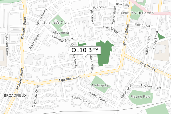
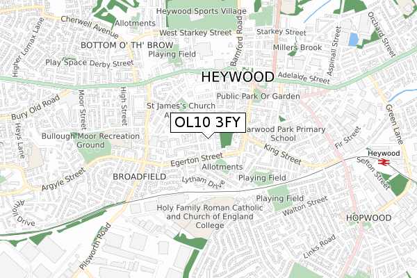
OL10 3FY is located in the North Heywood electoral ward, within the metropolitan district of Rochdale and the English Parliamentary constituency of Heywood and Middleton. The Sub Integrated Care Board (ICB) Location is NHS Greater Manchester ICB - 01D and the police force is Greater Manchester. This postcode has been in use since January 2019.


GetTheData
Source: OS Open Zoomstack (Ordnance Survey)
Licence: Open Government Licence (requires attribution)
Attribution: Contains OS data © Crown copyright and database right 2025
Source: Open Postcode Geo
Licence: Open Government Licence (requires attribution)
Attribution: Contains OS data © Crown copyright and database right 2025; Contains Royal Mail data © Royal Mail copyright and database right 2025; Source: Office for National Statistics licensed under the Open Government Licence v.3.0
| Easting | 385318 |
| Northing | 410436 |
| Latitude | 53.590311 |
| Longitude | -2.223275 |
GetTheData
Source: Open Postcode Geo
Licence: Open Government Licence
| Country | England |
| Postcode District | OL10 |
➜ See where OL10 is on a map ➜ Where is Heywood? | |
GetTheData
Source: Land Registry Price Paid Data
Licence: Open Government Licence
| Ward | North Heywood |
| Constituency | Heywood And Middleton |
GetTheData
Source: ONS Postcode Database
Licence: Open Government Licence
| Egerton St/Walker St (Egerton St) | Heywood | 104m |
| Egerton St/Walker St (Egerton St) | Heywood | 131m |
| Hind Hill St/Benfield St (Hind Hill St) | Heywood | 240m |
| Egerton St/Belgrave St (Egerton Street) | Heywood | 302m |
| Pilsworth Rd/Seymour St (Pilsworth Rd) | Heywood | 362m |
| Heywood (East Lancashire Railway) | Heywood | 1,080m |
| Castleton (Manchester) Station | 3km |
| Rochdale Station | 5.1km |
| Mills Hill (Manchester) Station | 5.5km |
GetTheData
Source: NaPTAN
Licence: Open Government Licence
| Percentage of properties with Next Generation Access | 100.0% |
| Percentage of properties with Superfast Broadband | 100.0% |
| Percentage of properties with Ultrafast Broadband | 0.0% |
| Percentage of properties with Full Fibre Broadband | 0.0% |
Superfast Broadband is between 30Mbps and 300Mbps
Ultrafast Broadband is > 300Mbps
| Percentage of properties unable to receive 2Mbps | 0.0% |
| Percentage of properties unable to receive 5Mbps | 0.0% |
| Percentage of properties unable to receive 10Mbps | 0.0% |
| Percentage of properties unable to receive 30Mbps | 0.0% |
GetTheData
Source: Ofcom
Licence: Ofcom Terms of Use (requires attribution)
GetTheData
Source: ONS Postcode Database
Licence: Open Government Licence


➜ Get more ratings from the Food Standards Agency
GetTheData
Source: Food Standards Agency
Licence: FSA terms & conditions
| Last Collection | |||
|---|---|---|---|
| Location | Mon-Fri | Sat | Distance |
| Morrison's | 17:45 | 11:30 | 499m |
| Heywood Post Office | 534m | ||
| Market Place | 18:25 | 11:15 | 980m |
GetTheData
Source: Dracos
Licence: Creative Commons Attribution-ShareAlike
The below table lists the International Territorial Level (ITL) codes (formerly Nomenclature of Territorial Units for Statistics (NUTS) codes) and Local Administrative Units (LAU) codes for OL10 3FY:
| ITL 1 Code | Name |
|---|---|
| TLD | North West (England) |
| ITL 2 Code | Name |
| TLD3 | Greater Manchester |
| ITL 3 Code | Name |
| TLD37 | Greater Manchester North East |
| LAU 1 Code | Name |
| E08000005 | Rochdale |
GetTheData
Source: ONS Postcode Directory
Licence: Open Government Licence
The below table lists the Census Output Area (OA), Lower Layer Super Output Area (LSOA), and Middle Layer Super Output Area (MSOA) for OL10 3FY:
| Code | Name | |
|---|---|---|
| OA | E00027862 | |
| LSOA | E01005504 | Rochdale 018D |
| MSOA | E02001149 | Rochdale 018 |
GetTheData
Source: ONS Postcode Directory
Licence: Open Government Licence
| OL10 3AH | Smyrna Street | 44m |
| OL10 1HP | Holly Oak Gardens | 49m |
| OL10 3AQ | Coomassie Street | 68m |
| OL10 1HJ | Walker Street | 69m |
| OL10 3AN | Coomassie Street | 82m |
| OL10 1HB | The Brooklands | 94m |
| OL10 3AJ | Seymour Street | 104m |
| OL10 3BA | Coverdale Close | 113m |
| OL10 1EZ | Brunswick Street | 130m |
| OL10 1AH | Egerton Street | 131m |
GetTheData
Source: Open Postcode Geo; Land Registry Price Paid Data
Licence: Open Government Licence