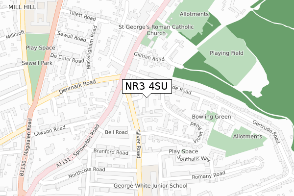
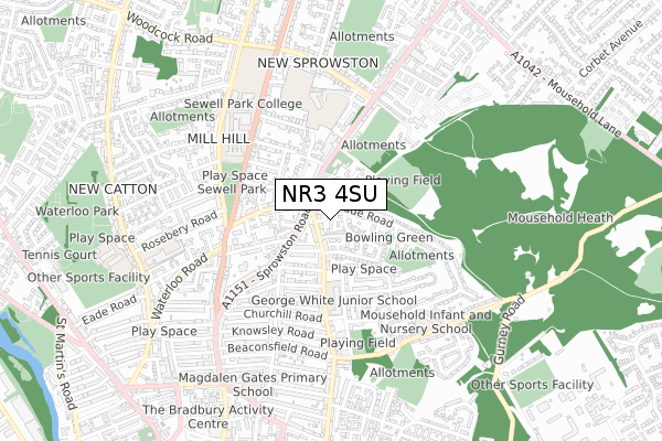
NR3 4SU is located in the Crome electoral ward, within the local authority district of Norwich and the English Parliamentary constituency of Norwich South. The Sub Integrated Care Board (ICB) Location is NHS Norfolk and Waveney ICB - 26A and the police force is Norfolk. This postcode has been in use since August 2017.


GetTheData
Source: OS Open Zoomstack (Ordnance Survey)
Licence: Open Government Licence (requires attribution)
Attribution: Contains OS data © Crown copyright and database right 2025
Source: Open Postcode Geo
Licence: Open Government Licence (requires attribution)
Attribution: Contains OS data © Crown copyright and database right 2025; Contains Royal Mail data © Royal Mail copyright and database right 2025; Source: Office for National Statistics licensed under the Open Government Licence v.3.0
| Easting | 623597 |
| Northing | 309746 |
| Latitude | 52.639381 |
| Longitude | 1.303285 |
GetTheData
Source: Open Postcode Geo
Licence: Open Government Licence
| Country | England |
| Postcode District | NR3 |
➜ See where NR3 is on a map ➜ Where is Norwich? | |
GetTheData
Source: Land Registry Price Paid Data
Licence: Open Government Licence
| Ward | Crome |
| Constituency | Norwich South |
GetTheData
Source: ONS Postcode Database
Licence: Open Government Licence
| Knowsley Road (Silver Road) | Norwich | 78m |
| Mousehold Street (Silver Road) | Norwich | 210m |
| Mousehold Street (Silver Road) | Norwich | 231m |
| Anchor Street (Mousehold Street) | Norwich | 284m |
| Mousehold Infant School (Lavengro Road) | Norwich | 430m |
| Norwich Station | 1.4km |
GetTheData
Source: NaPTAN
Licence: Open Government Licence
GetTheData
Source: ONS Postcode Database
Licence: Open Government Licence

➜ Get more ratings from the Food Standards Agency
GetTheData
Source: Food Standards Agency
Licence: FSA terms & conditions
| Last Collection | |||
|---|---|---|---|
| Location | Mon-Fri | Sat | Distance |
| Silver Road Post Office | 17:30 | 12:00 | 42m |
| Bargate Court | 17:30 | 11:00 | 351m |
| St James Close | 18:00 | 11:00 | 372m |
GetTheData
Source: Dracos
Licence: Creative Commons Attribution-ShareAlike
The below table lists the International Territorial Level (ITL) codes (formerly Nomenclature of Territorial Units for Statistics (NUTS) codes) and Local Administrative Units (LAU) codes for NR3 4SU:
| ITL 1 Code | Name |
|---|---|
| TLH | East |
| ITL 2 Code | Name |
| TLH1 | East Anglia |
| ITL 3 Code | Name |
| TLH15 | Norwich and East Norfolk |
| LAU 1 Code | Name |
| E07000148 | Norwich |
GetTheData
Source: ONS Postcode Directory
Licence: Open Government Licence
The below table lists the Census Output Area (OA), Lower Layer Super Output Area (LSOA), and Middle Layer Super Output Area (MSOA) for NR3 4SU:
| Code | Name | |
|---|---|---|
| OA | E00136545 | |
| LSOA | E01026848 | Norwich 015A |
| MSOA | E02006908 | Norwich 015 |
GetTheData
Source: ONS Postcode Directory
Licence: Open Government Licence
| NR3 4TE | Silver Road | 44m |
| NR3 4RQ | Crome Road | 87m |
| NR3 4TD | Silver Road | 98m |
| NR3 1ND | Morley Street | 118m |
| NR3 4TF | Silver Road | 121m |
| NR3 4PP | Beaconsfield Road | 133m |
| NR3 4PL | Marlborough Road | 140m |
| NR3 4AB | Beaconsfield Road | 141m |
| NR3 4PJ | Marlborough Road | 149m |
| NR3 1PA | Mousehold Street | 156m |
GetTheData
Source: Open Postcode Geo; Land Registry Price Paid Data
Licence: Open Government Licence