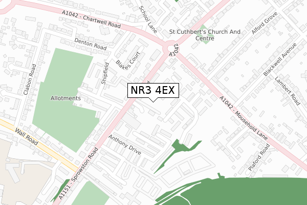
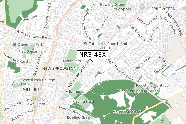
NR3 4EX is located in the Catton Grove electoral ward, within the local authority district of Norwich and the English Parliamentary constituency of Norwich North. The Sub Integrated Care Board (ICB) Location is NHS Norfolk and Waveney ICB - 26A and the police force is Norfolk. This postcode has been in use since June 2018.


GetTheData
Source: OS Open Zoomstack (Ordnance Survey)
Licence: Open Government Licence (requires attribution)
Attribution: Contains OS data © Crown copyright and database right 2025
Source: Open Postcode Geo
Licence: Open Government Licence (requires attribution)
Attribution: Contains OS data © Crown copyright and database right 2025; Contains Royal Mail data © Royal Mail copyright and database right 2025; Source: Office for National Statistics licensed under the Open Government Licence v.3.0
| Easting | 623969 |
| Northing | 310965 |
| Latitude | 52.650168 |
| Longitude | 1.309599 |
GetTheData
Source: Open Postcode Geo
Licence: Open Government Licence
| Country | England |
| Postcode District | NR3 |
➜ See where NR3 is on a map ➜ Where is Norwich? | |
GetTheData
Source: Land Registry Price Paid Data
Licence: Open Government Licence
| Ward | Catton Grove |
| Constituency | Norwich North |
GetTheData
Source: ONS Postcode Database
Licence: Open Government Licence
| Brickmakers (Sprowston Road) | Norwich | 69m |
| Brickmakers (Sprowston Road) | Norwich | 108m |
| Alford Grove (Mousehold Lane) | Norwich | 168m |
| Alford Grove (Mousehold Lane) | Norwich | 200m |
| St Cuthberts Church (Wroxham Road) | Sprowston | 284m |
| Norwich Station | 2.6km |
GetTheData
Source: NaPTAN
Licence: Open Government Licence
| Median download speed | 9.6Mbps |
| Average download speed | 9.8Mbps |
| Maximum download speed | 11.89Mbps |
| Median upload speed | 1.1Mbps |
| Average upload speed | 1.0Mbps |
| Maximum upload speed | 1.24Mbps |
GetTheData
Source: Ofcom
Licence: Ofcom Terms of Use (requires attribution)
GetTheData
Source: ONS Postcode Database
Licence: Open Government Licence


➜ Get more ratings from the Food Standards Agency
GetTheData
Source: Food Standards Agency
Licence: FSA terms & conditions
| Last Collection | |||
|---|---|---|---|
| Location | Mon-Fri | Sat | Distance |
| Sprowston Road Post Office | 17:30 | 11:00 | 152m |
| Wall Road | 18:00 | 11:00 | 339m |
| Neville Road | 17:30 | 11:00 | 558m |
GetTheData
Source: Dracos
Licence: Creative Commons Attribution-ShareAlike
The below table lists the International Territorial Level (ITL) codes (formerly Nomenclature of Territorial Units for Statistics (NUTS) codes) and Local Administrative Units (LAU) codes for NR3 4EX:
| ITL 1 Code | Name |
|---|---|
| TLH | East |
| ITL 2 Code | Name |
| TLH1 | East Anglia |
| ITL 3 Code | Name |
| TLH15 | Norwich and East Norfolk |
| LAU 1 Code | Name |
| E07000148 | Norwich |
GetTheData
Source: ONS Postcode Directory
Licence: Open Government Licence
The below table lists the Census Output Area (OA), Lower Layer Super Output Area (LSOA), and Middle Layer Super Output Area (MSOA) for NR3 4EX:
| Code | Name | |
|---|---|---|
| OA | E00136294 | |
| LSOA | E01026802 | Norwich 001F |
| MSOA | E02005584 | Norwich 001 |
GetTheData
Source: ONS Postcode Directory
Licence: Open Government Licence
| NR3 4EE | Templemere | 34m |
| NR3 4EU | Sprowston Road | 45m |
| NR3 4ET | Windmill Court | 88m |
| NR3 4EF | Templemere | 94m |
| NR3 4DY | Sprowston Road | 97m |
| NR3 4ES | Anthony Drive | 99m |
| NR3 4EB | Sprowston Road | 100m |
| NR3 4AD | Sprowston Road | 110m |
| NR3 4DT | Shipfield | 115m |
| NR3 4EQ | Templemere | 131m |
GetTheData
Source: Open Postcode Geo; Land Registry Price Paid Data
Licence: Open Government Licence