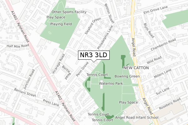
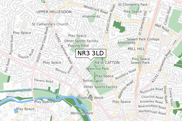
NR3 3LD is located in the Mile Cross electoral ward, within the local authority district of Norwich and the English Parliamentary constituency of Norwich North. The Sub Integrated Care Board (ICB) Location is NHS Norfolk and Waveney ICB - 26A and the police force is Norfolk. This postcode has been in use since October 2018.


GetTheData
Source: OS Open Zoomstack (Ordnance Survey)
Licence: Open Government Licence (requires attribution)
Attribution: Contains OS data © Crown copyright and database right 2025
Source: Open Postcode Geo
Licence: Open Government Licence (requires attribution)
Attribution: Contains OS data © Crown copyright and database right 2025; Contains Royal Mail data © Royal Mail copyright and database right 2025; Source: Office for National Statistics licensed under the Open Government Licence v.3.0
| Easting | 622517 |
| Northing | 310430 |
| Latitude | 52.645964 |
| Longitude | 1.287812 |
GetTheData
Source: Open Postcode Geo
Licence: Open Government Licence
| Country | England |
| Postcode District | NR3 |
➜ See where NR3 is on a map ➜ Where is Norwich? | |
GetTheData
Source: Land Registry Price Paid Data
Licence: Open Government Licence
| Ward | Mile Cross |
| Constituency | Norwich North |
GetTheData
Source: ONS Postcode Database
Licence: Open Government Licence
| Wild Road (Angel Road) | Norwich | 229m |
| Wild Road (Angel Road) | Norwich | 238m |
| Penn Grove (Aylsham Road) | Norwich | 265m |
| Penn Grove (Aylsham Road) | Norwich | 271m |
| Elm Grove Lane (Angel Road) | Norwich | 285m |
| Norwich Station | 2.5km |
GetTheData
Source: NaPTAN
Licence: Open Government Licence
| Percentage of properties with Next Generation Access | 100.0% |
| Percentage of properties with Superfast Broadband | 100.0% |
| Percentage of properties with Ultrafast Broadband | 100.0% |
| Percentage of properties with Full Fibre Broadband | 0.0% |
Superfast Broadband is between 30Mbps and 300Mbps
Ultrafast Broadband is > 300Mbps
| Percentage of properties unable to receive 2Mbps | 0.0% |
| Percentage of properties unable to receive 5Mbps | 0.0% |
| Percentage of properties unable to receive 10Mbps | 0.0% |
| Percentage of properties unable to receive 30Mbps | 0.0% |
GetTheData
Source: Ofcom
Licence: Ofcom Terms of Use (requires attribution)
GetTheData
Source: ONS Postcode Database
Licence: Open Government Licence


➜ Get more ratings from the Food Standards Agency
GetTheData
Source: Food Standards Agency
Licence: FSA terms & conditions
| Last Collection | |||
|---|---|---|---|
| Location | Mon-Fri | Sat | Distance |
| Upper Hellesdon Post Office | 18:00 | 11:00 | 242m |
| Philadelphia Lane | 17:30 | 11:00 | 304m |
| Millars Lane | 17:30 | 11:00 | 359m |
GetTheData
Source: Dracos
Licence: Creative Commons Attribution-ShareAlike
The below table lists the International Territorial Level (ITL) codes (formerly Nomenclature of Territorial Units for Statistics (NUTS) codes) and Local Administrative Units (LAU) codes for NR3 3LD:
| ITL 1 Code | Name |
|---|---|
| TLH | East |
| ITL 2 Code | Name |
| TLH1 | East Anglia |
| ITL 3 Code | Name |
| TLH15 | Norwich and East Norfolk |
| LAU 1 Code | Name |
| E07000148 | Norwich |
GetTheData
Source: ONS Postcode Directory
Licence: Open Government Licence
The below table lists the Census Output Area (OA), Lower Layer Super Output Area (LSOA), and Middle Layer Super Output Area (MSOA) for NR3 3LD:
| Code | Name | |
|---|---|---|
| OA | E00136445 | |
| LSOA | E01026829 | Norwich 002B |
| MSOA | E02005585 | Norwich 002 |
GetTheData
Source: ONS Postcode Directory
Licence: Open Government Licence
| NR3 3JY | Penn Grove | 105m |
| NR3 3JU | Philadelphia Lane | 109m |
| NR3 3JP | Penn Grove | 110m |
| NR3 3JL | Penn Grove | 118m |
| NR3 2HA | Bertie Road | 143m |
| NR3 3JW | Philadelphia Lane | 160m |
| NR3 3JZ | Penn Grove | 166m |
| NR3 3JR | Sleaford Green | 174m |
| NR3 2HB | Vicarage Road | 191m |
| NR3 3JS | Sleaford Green | 194m |
GetTheData
Source: Open Postcode Geo; Land Registry Price Paid Data
Licence: Open Government Licence