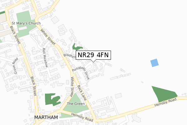
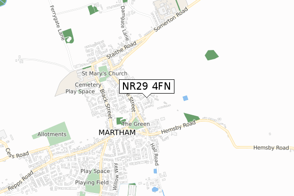
NR29 4FN is located in the West Flegg electoral ward, within the local authority district of Great Yarmouth and the English Parliamentary constituency of Great Yarmouth. The Sub Integrated Care Board (ICB) Location is NHS Norfolk and Waveney ICB - 26A and the police force is Norfolk. This postcode has been in use since September 2019.


GetTheData
Source: OS Open Zoomstack (Ordnance Survey)
Licence: Open Government Licence (requires attribution)
Attribution: Contains OS data © Crown copyright and database right 2025
Source: Open Postcode Geo
Licence: Open Government Licence (requires attribution)
Attribution: Contains OS data © Crown copyright and database right 2025; Contains Royal Mail data © Royal Mail copyright and database right 2025; Source: Office for National Statistics licensed under the Open Government Licence v.3.0
| Easting | 645883 |
| Northing | 318250 |
| Latitude | 52.706048 |
| Longitude | 1.638317 |
GetTheData
Source: Open Postcode Geo
Licence: Open Government Licence
| Country | England |
| Postcode District | NR29 |
➜ See where NR29 is on a map ➜ Where is Martham? | |
GetTheData
Source: Land Registry Price Paid Data
Licence: Open Government Licence
| Ward | West Flegg |
| Constituency | Great Yarmouth |
GetTheData
Source: ONS Postcode Database
Licence: Open Government Licence
2024 22 OCT £290,000 |
2023 9 JUN £332,500 |
2022 5 AUG £350,000 |
18, BRICK KILN CLOSE, MARTHAM, GREAT YARMOUTH, NR29 4FN 2021 17 SEP £264,000 |
18, BRICK KILN CLOSE, MARTHAM, GREAT YARMOUTH, NR29 4FN 2021 17 SEP £255,000 |
3, BRICK KILN CLOSE, MARTHAM, GREAT YARMOUTH, NR29 4FN 2021 19 MAR £277,000 |
2021 8 MAR £299,000 |
1, BRICK KILN CLOSE, MARTHAM, GREAT YARMOUTH, NR29 4FN 2020 18 DEC £290,000 |
24, BRICK KILN CLOSE, MARTHAM, GREAT YARMOUTH, NR29 4FN 2020 27 NOV £296,000 |
45, BRICK KILN CLOSE, MARTHAM, GREAT YARMOUTH, NR29 4FN 2020 30 JUN £221,000 |
GetTheData
Source: HM Land Registry Price Paid Data
Licence: Contains HM Land Registry data © Crown copyright and database right 2025. This data is licensed under the Open Government Licence v3.0.
| Bradfield Drive (White Street) | Martham | 149m |
| Bradfield Drive (White Street) | Martham | 168m |
| Medical Centre (Hemsby Road) | Martham | 297m |
| Health Centre (Hemsby Road) | Martham | 305m |
| White Street | Martham | 309m |
GetTheData
Source: NaPTAN
Licence: Open Government Licence
GetTheData
Source: ONS Postcode Database
Licence: Open Government Licence


➜ Get more ratings from the Food Standards Agency
GetTheData
Source: Food Standards Agency
Licence: FSA terms & conditions
| Last Collection | |||
|---|---|---|---|
| Location | Mon-Fri | Sat | Distance |
| The Green Post Office | 16:45 | 12:00 | 418m |
| The Staithe | 16:00 | 09:00 | 2,034m |
| Main Road | 16:00 | 09:00 | 2,226m |
GetTheData
Source: Dracos
Licence: Creative Commons Attribution-ShareAlike
The below table lists the International Territorial Level (ITL) codes (formerly Nomenclature of Territorial Units for Statistics (NUTS) codes) and Local Administrative Units (LAU) codes for NR29 4FN:
| ITL 1 Code | Name |
|---|---|
| TLH | East |
| ITL 2 Code | Name |
| TLH1 | East Anglia |
| ITL 3 Code | Name |
| TLH15 | Norwich and East Norfolk |
| LAU 1 Code | Name |
| E07000145 | Great Yarmouth |
GetTheData
Source: ONS Postcode Directory
Licence: Open Government Licence
The below table lists the Census Output Area (OA), Lower Layer Super Output Area (LSOA), and Middle Layer Super Output Area (MSOA) for NR29 4FN:
| Code | Name | |
|---|---|---|
| OA | E00135360 | |
| LSOA | E01026637 | Great Yarmouth 002D |
| MSOA | E02005539 | Great Yarmouth 002 |
GetTheData
Source: ONS Postcode Directory
Licence: Open Government Licence
| NR29 4UP | Bradfield Drive | 87m |
| NR29 4UR | Pyman Close | 162m |
| NR29 4PG | White Street | 179m |
| NR29 4PE | Back Lane | 183m |
| NR29 4PF | The Green | 213m |
| NR29 4UA | Bell Meadow | 226m |
| NR29 4UF | Marsh Close | 245m |
| NR29 4QG | Hemsby Road | 259m |
| NR29 4PQ | White Street | 260m |
| NR29 4UB | Nursery Close | 283m |
GetTheData
Source: Open Postcode Geo; Land Registry Price Paid Data
Licence: Open Government Licence