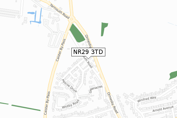
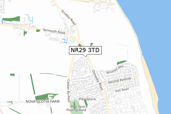
NR29 3TD is located in the Ormesby electoral ward, within the local authority district of Great Yarmouth and the English Parliamentary constituency of Great Yarmouth. The Sub Integrated Care Board (ICB) Location is NHS Norfolk and Waveney ICB - 26A and the police force is Norfolk. This postcode has been in use since July 2018.


GetTheData
Source: OS Open Zoomstack (Ordnance Survey)
Licence: Open Government Licence (requires attribution)
Attribution: Contains OS data © Crown copyright and database right 2025
Source: Open Postcode Geo
Licence: Open Government Licence (requires attribution)
Attribution: Contains OS data © Crown copyright and database right 2025; Contains Royal Mail data © Royal Mail copyright and database right 2025; Source: Office for National Statistics licensed under the Open Government Licence v.3.0
| Easting | 651411 |
| Northing | 313965 |
| Latitude | 52.665072 |
| Longitude | 1.716692 |
GetTheData
Source: Open Postcode Geo
Licence: Open Government Licence
| Country | England |
| Postcode District | NR29 |
➜ See where NR29 is on a map ➜ Where is Caister-on-Sea? | |
GetTheData
Source: Land Registry Price Paid Data
Licence: Open Government Licence
| Ward | Ormesby |
| Constituency | Great Yarmouth |
GetTheData
Source: ONS Postcode Database
Licence: Open Government Licence
| Meadowcroft House (Yarmouth Road) | Ormesby | 100m |
| Meadowcroft House (Yarmouth Road) | Ormesby | 103m |
| Lane To California Farm (Scratby Road) | Ormesby | 326m |
| First And Last (Yarmouth Road) | Ormesby | 336m |
| First And Last (Yarmouth Road) | Ormesby | 344m |
GetTheData
Source: NaPTAN
Licence: Open Government Licence
| Percentage of properties with Next Generation Access | 100.0% |
| Percentage of properties with Superfast Broadband | 100.0% |
| Percentage of properties with Ultrafast Broadband | 33.3% |
| Percentage of properties with Full Fibre Broadband | 33.3% |
Superfast Broadband is between 30Mbps and 300Mbps
Ultrafast Broadband is > 300Mbps
| Percentage of properties unable to receive 2Mbps | 0.0% |
| Percentage of properties unable to receive 5Mbps | 0.0% |
| Percentage of properties unable to receive 10Mbps | 0.0% |
| Percentage of properties unable to receive 30Mbps | 0.0% |
GetTheData
Source: Ofcom
Licence: Ofcom Terms of Use (requires attribution)
GetTheData
Source: ONS Postcode Database
Licence: Open Government Licence


➜ Get more ratings from the Food Standards Agency
GetTheData
Source: Food Standards Agency
Licence: FSA terms & conditions
| Last Collection | |||
|---|---|---|---|
| Location | Mon-Fri | Sat | Distance |
| Queens Road | 17:45 | 12:15 | 2,835m |
| Seashore Camp | 17:30 | 11:30 | 3,845m |
| Caystreward | 17:30 | 11:30 | 4,062m |
GetTheData
Source: Dracos
Licence: Creative Commons Attribution-ShareAlike
The below table lists the International Territorial Level (ITL) codes (formerly Nomenclature of Territorial Units for Statistics (NUTS) codes) and Local Administrative Units (LAU) codes for NR29 3TD:
| ITL 1 Code | Name |
|---|---|
| TLH | East |
| ITL 2 Code | Name |
| TLH1 | East Anglia |
| ITL 3 Code | Name |
| TLH15 | Norwich and East Norfolk |
| LAU 1 Code | Name |
| E07000145 | Great Yarmouth |
GetTheData
Source: ONS Postcode Directory
Licence: Open Government Licence
The below table lists the Census Output Area (OA), Lower Layer Super Output Area (LSOA), and Middle Layer Super Output Area (MSOA) for NR29 3TD:
| Code | Name | |
|---|---|---|
| OA | E00135310 | |
| LSOA | E01026628 | Great Yarmouth 001E |
| MSOA | E02005538 | Great Yarmouth 001 |
GetTheData
Source: ONS Postcode Directory
Licence: Open Government Licence
| NR29 3QQ | Meadowcroft Bungalows | 200m |
| NR30 5QB | Ormesby Road | 298m |
| NR30 5QD | Reynolds Avenue | 323m |
| NR30 5PD | Peter Close | 325m |
| NR30 5QE | Reynolds Avenue | 366m |
| NR30 5NL | Ormesby Road | 371m |
| NR30 5QA | Ormesby Road | 383m |
| NR30 5QF | Alexander Close | 423m |
| NR30 5AB | Winifred Way | 435m |
| NR29 3QH | Old Coast Road | 453m |
GetTheData
Source: Open Postcode Geo; Land Registry Price Paid Data
Licence: Open Government Licence