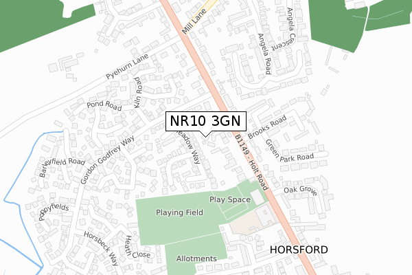
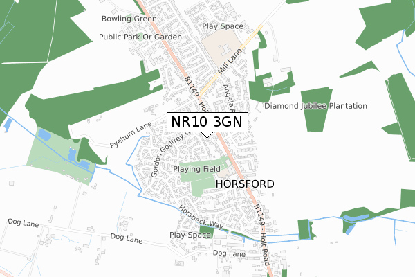
NR10 3GN is located in the Horsford and Felthorpe electoral ward, within the local authority district of Broadland and the English Parliamentary constituency of Broadland. The Sub Integrated Care Board (ICB) Location is NHS Norfolk and Waveney ICB - 26A and the police force is Norfolk. This postcode has been in use since January 2020.


GetTheData
Source: OS Open Zoomstack (Ordnance Survey)
Licence: Open Government Licence (requires attribution)
Attribution: Contains OS data © Crown copyright and database right 2025
Source: Open Postcode Geo
Licence: Open Government Licence (requires attribution)
Attribution: Contains OS data © Crown copyright and database right 2025; Contains Royal Mail data © Royal Mail copyright and database right 2025; Source: Office for National Statistics licensed under the Open Government Licence v.3.0
| Easting | 619096 |
| Northing | 316360 |
| Latitude | 52.700579 |
| Longitude | 1.241271 |
GetTheData
Source: Open Postcode Geo
Licence: Open Government Licence
| Country | England |
| Postcode District | NR10 |
➜ See where NR10 is on a map ➜ Where is Horsford? | |
GetTheData
Source: Land Registry Price Paid Data
Licence: Open Government Licence
| Ward | Horsford And Felthorpe |
| Constituency | Broadland |
GetTheData
Source: ONS Postcode Database
Licence: Open Government Licence
1, KINSLEY DRIVE, HORSFORD, NORWICH, NR10 3GN 2021 19 MAR £680,000 |
2, KINSLEY DRIVE, HORSFORD, NORWICH, NR10 3GN 2021 9 FEB £578,000 |
3, KINSLEY DRIVE, HORSFORD, NORWICH, NR10 3GN 2020 22 JAN £475,000 |
GetTheData
Source: HM Land Registry Price Paid Data
Licence: Contains HM Land Registry data © Crown copyright and database right 2025. This data is licensed under the Open Government Licence v3.0.
| Bus Shelter (Holt Road) | Horsford | 58m |
| Meadow Way (Gordon Godfrey Way) | Horsford | 100m |
| Bus Shelter (Holt Road) | Horsford | 117m |
| Meadow Way (Gordon Godfrey Way) | Horsford | 119m |
| Primrose Way (Gordon Godfrey Way) | Horsford | 242m |
GetTheData
Source: NaPTAN
Licence: Open Government Licence
GetTheData
Source: ONS Postcode Database
Licence: Open Government Licence


➜ Get more ratings from the Food Standards Agency
GetTheData
Source: Food Standards Agency
Licence: FSA terms & conditions
| Last Collection | |||
|---|---|---|---|
| Location | Mon-Fri | Sat | Distance |
| Mill Lane | 16:00 | 10:00 | 324m |
| High Street Post Office | 17:15 | 11:50 | 385m |
| Pendlesham Rise / Castle Rise | 16:00 | 10:00 | 2,212m |
GetTheData
Source: Dracos
Licence: Creative Commons Attribution-ShareAlike
The below table lists the International Territorial Level (ITL) codes (formerly Nomenclature of Territorial Units for Statistics (NUTS) codes) and Local Administrative Units (LAU) codes for NR10 3GN:
| ITL 1 Code | Name |
|---|---|
| TLH | East |
| ITL 2 Code | Name |
| TLH1 | East Anglia |
| ITL 3 Code | Name |
| TLH15 | Norwich and East Norfolk |
| LAU 1 Code | Name |
| E07000144 | Broadland |
GetTheData
Source: ONS Postcode Directory
Licence: Open Government Licence
The below table lists the Census Output Area (OA), Lower Layer Super Output Area (LSOA), and Middle Layer Super Output Area (MSOA) for NR10 3GN:
| Code | Name | |
|---|---|---|
| OA | E00134844 | |
| LSOA | E01026537 | Broadland 004E |
| MSOA | E02005523 | Broadland 004 |
GetTheData
Source: ONS Postcode Directory
Licence: Open Government Licence
| NR10 3SD | Meadow Way | 31m |
| NR10 3SE | Poplar Close | 109m |
| NR10 3SF | Vale Close | 112m |
| NR10 3DX | Holt Road | 127m |
| NR10 3HQ | Holt Road | 132m |
| NR10 3BT | Lings Close | 153m |
| NR10 3DW | Holt Road | 165m |
| NR10 3SN | Marigold Close | 166m |
| NR10 3DN | Holt Road | 170m |
| NR10 3DS | Brooks Road | 185m |
GetTheData
Source: Open Postcode Geo; Land Registry Price Paid Data
Licence: Open Government Licence