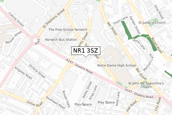
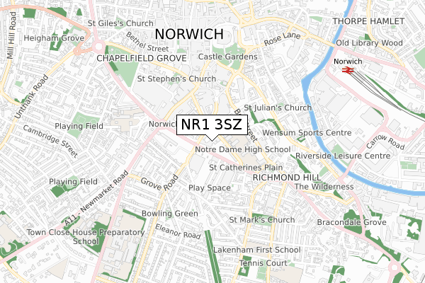
NR1 3SZ is located in the Mancroft electoral ward, within the local authority district of Norwich and the English Parliamentary constituency of Norwich South. The Sub Integrated Care Board (ICB) Location is NHS Norfolk and Waveney ICB - 26A and the police force is Norfolk. This postcode has been in use since July 2018.


GetTheData
Source: OS Open Zoomstack (Ordnance Survey)
Licence: Open Government Licence (requires attribution)
Attribution: Contains OS data © Crown copyright and database right 2025
Source: Open Postcode Geo
Licence: Open Government Licence (requires attribution)
Attribution: Contains OS data © Crown copyright and database right 2025; Contains Royal Mail data © Royal Mail copyright and database right 2025; Source: Office for National Statistics licensed under the Open Government Licence v.3.0
| Easting | 623114 |
| Northing | 307914 |
| Latitude | 52.623138 |
| Longitude | 1.294923 |
GetTheData
Source: Open Postcode Geo
Licence: Open Government Licence
| Country | England |
| Postcode District | NR1 |
➜ See where NR1 is on a map ➜ Where is Norwich? | |
GetTheData
Source: Land Registry Price Paid Data
Licence: Open Government Licence
| Ward | Mancroft |
| Constituency | Norwich South |
GetTheData
Source: ONS Postcode Database
Licence: Open Government Licence
| Sentinel House (Surrey Street) | Norwich | 49m |
| Notre Dame School (Surrey Street) | Norwich | 94m |
| Kings Lane (Queens Road) | Norwich | 157m |
| John Lewis (All Saints Green) | Norwich City Centre | 231m |
| Kings Lane (Queens Road) | Norwich | 238m |
| Norwich Station | 0.9km |
GetTheData
Source: NaPTAN
Licence: Open Government Licence
| Median download speed | 51.7Mbps |
| Average download speed | 46.3Mbps |
| Maximum download speed | 79.98Mbps |
| Median upload speed | 10.0Mbps |
| Average upload speed | 11.9Mbps |
| Maximum upload speed | 20.00Mbps |
GetTheData
Source: Ofcom
Licence: Ofcom Terms of Use (requires attribution)
GetTheData
Source: ONS Postcode Database
Licence: Open Government Licence


➜ Get more ratings from the Food Standards Agency
GetTheData
Source: Food Standards Agency
Licence: FSA terms & conditions
| Last Collection | |||
|---|---|---|---|
| Location | Mon-Fri | Sat | Distance |
| All Saints Green | 18:30 | 11:00 | 215m |
| Ber Street | 18:30 | 11:00 | 228m |
| Queens Road | 19:00 | 242m | |
GetTheData
Source: Dracos
Licence: Creative Commons Attribution-ShareAlike
The below table lists the International Territorial Level (ITL) codes (formerly Nomenclature of Territorial Units for Statistics (NUTS) codes) and Local Administrative Units (LAU) codes for NR1 3SZ:
| ITL 1 Code | Name |
|---|---|
| TLH | East |
| ITL 2 Code | Name |
| TLH1 | East Anglia |
| ITL 3 Code | Name |
| TLH15 | Norwich and East Norfolk |
| LAU 1 Code | Name |
| E07000148 | Norwich |
GetTheData
Source: ONS Postcode Directory
Licence: Open Government Licence
The below table lists the Census Output Area (OA), Lower Layer Super Output Area (LSOA), and Middle Layer Super Output Area (MSOA) for NR1 3SZ:
| Code | Name | |
|---|---|---|
| OA | E00173850 | |
| LSOA | E01026822 | Norwich 007A |
| MSOA | E02005590 | Norwich 007 |
GetTheData
Source: ONS Postcode Directory
Licence: Open Government Licence
| NR1 3NY | Surrey Street | 78m |
| NR1 3NB | All Saints Green | 94m |
| NR1 3LY | All Saints Green | 102m |
| NR1 3NX | Surrey Street | 134m |
| NR1 3EX | Brooke Place | 168m |
| NR1 3PU | Ashby Street | 201m |
| NR1 3PT | Ashby Street | 211m |
| NR1 3EY | Ber Street | 219m |
| NR1 3EU | Ber Street | 233m |
| NR1 3EW | Ber Street | 234m |
GetTheData
Source: Open Postcode Geo; Land Registry Price Paid Data
Licence: Open Government Licence