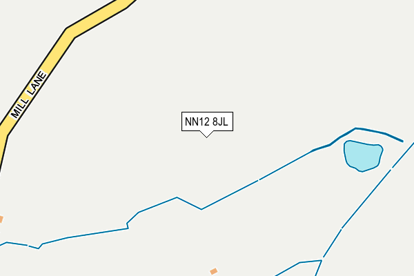
NN12 8JL is located in the Silverstone electoral ward, within the unitary authority of West Northamptonshire and the English Parliamentary constituency of South Northamptonshire. The Sub Integrated Care Board (ICB) Location is NHS Northamptonshire ICB - 78H and the police force is Northamptonshire. This postcode has been in use since July 2003.


GetTheData
Source: OS OpenMap – Local (Ordnance Survey)
Source: OS VectorMap District (Ordnance Survey)
Licence: Open Government Licence (requires attribution)
| Easting | 465074 |
| Northing | 247061 |
| Latitude | 52.118059 |
| Longitude | -1.051011 |
GetTheData
Source: Open Postcode Geo
Licence: Open Government Licence
| Country | England |
| Postcode District | NN12 |
➜ See where NN12 is on a map | |
GetTheData
Source: Land Registry Price Paid Data
Licence: Open Government Licence
Elevation or altitude of NN12 8JL as distance above sea level:
| Metres | Feet | |
|---|---|---|
| Elevation | 120m | 394ft |
Elevation is measured from the approximate centre of the postcode, to the nearest point on an OS contour line from OS Terrain 50, which has contour spacing of ten vertical metres.
➜ How high above sea level am I? Find the elevation of your current position using your device's GPS.
GetTheData
Source: Open Postcode Elevation
Licence: Open Government Licence
| Ward | Silverstone |
| Constituency | South Northamptonshire |
GetTheData
Source: ONS Postcode Database
Licence: Open Government Licence
| Demand Responsive Area | Abthorpe | 570m |
| Main Street (Wappenham Road) | Abthorpe | 617m |
| Main Street (Wappenham Road) | Abthorpe | 628m |
| Slapton Turn (Abthorpe Road) | Slapton | 1,286m |
| Demand Responsive Area | Slapton | 1,297m |
GetTheData
Source: NaPTAN
Licence: Open Government Licence
GetTheData
Source: ONS Postcode Database
Licence: Open Government Licence


➜ Get more ratings from the Food Standards Agency
GetTheData
Source: Food Standards Agency
Licence: FSA terms & conditions
| Last Collection | |||
|---|---|---|---|
| Location | Mon-Fri | Sat | Distance |
| Abthorp | 16:30 | 08:15 | 523m |
| Slapton | 16:30 | 08:30 | 913m |
| Braden | 16:30 | 08:00 | 1,456m |
GetTheData
Source: Dracos
Licence: Creative Commons Attribution-ShareAlike
The below table lists the International Territorial Level (ITL) codes (formerly Nomenclature of Territorial Units for Statistics (NUTS) codes) and Local Administrative Units (LAU) codes for NN12 8JL:
| ITL 1 Code | Name |
|---|---|
| TLF | East Midlands (England) |
| ITL 2 Code | Name |
| TLF2 | Leicestershire, Rutland and Northamptonshire |
| ITL 3 Code | Name |
| TLF24 | West Northamptonshire |
| LAU 1 Code | Name |
| E07000155 | South Northamptonshire |
GetTheData
Source: ONS Postcode Directory
Licence: Open Government Licence
The below table lists the Census Output Area (OA), Lower Layer Super Output Area (LSOA), and Middle Layer Super Output Area (MSOA) for NN12 8JL:
| Code | Name | |
|---|---|---|
| OA | E00138685 | |
| LSOA | E01027262 | South Northamptonshire 004A |
| MSOA | E02005684 | South Northamptonshire 004 |
GetTheData
Source: ONS Postcode Directory
Licence: Open Government Licence
| NN12 8QT | School Lane | 474m |
| NN12 8QP | The Green | 496m |
| NN12 8QN | Main Street | 566m |
| NN12 8QR | Silver Street | 577m |
| NN12 8QW | Church Lane | 590m |
| NN12 8QU | Wappenham Road | 593m |
| NN12 8QL | Stanhill Row | 786m |
| NN12 8QJ | Brackley Lane | 824m |
| NN12 8PG | Church Lane | 908m |
| NN12 8PE | 955m |
GetTheData
Source: Open Postcode Geo; Land Registry Price Paid Data
Licence: Open Government Licence