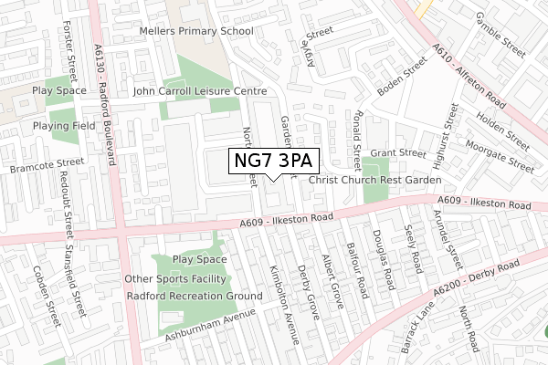
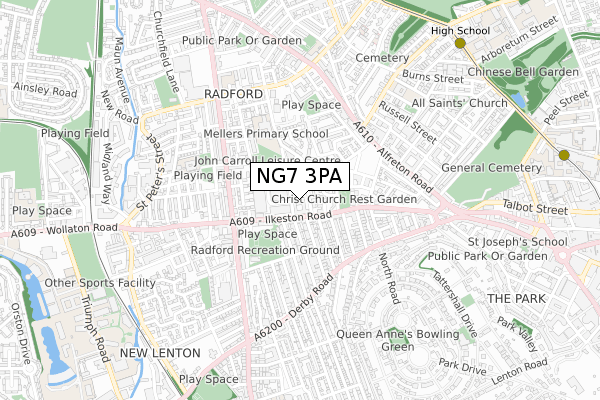
NG7 3PA is located in the Radford electoral ward, within the unitary authority of Nottingham and the English Parliamentary constituency of Nottingham South. The Sub Integrated Care Board (ICB) Location is NHS Nottingham and Nottinghamshire ICB - 52R and the police force is Nottinghamshire. This postcode has been in use since September 2019.


GetTheData
Source: OS Open Zoomstack (Ordnance Survey)
Licence: Open Government Licence (requires attribution)
Attribution: Contains OS data © Crown copyright and database right 2025
Source: Open Postcode Geo
Licence: Open Government Licence (requires attribution)
Attribution: Contains OS data © Crown copyright and database right 2025; Contains Royal Mail data © Royal Mail copyright and database right 2025; Source: Office for National Statistics licensed under the Open Government Licence v.3.0
| Easting | 455784 |
| Northing | 340221 |
| Latitude | 52.956491 |
| Longitude | -1.171068 |
GetTheData
Source: Open Postcode Geo
Licence: Open Government Licence
| Country | England |
| Postcode District | NG7 |
➜ See where NG7 is on a map ➜ Where is Nottingham? | |
GetTheData
Source: Land Registry Price Paid Data
Licence: Open Government Licence
| Ward | Radford |
| Constituency | Nottingham South |
GetTheData
Source: ONS Postcode Database
Licence: Open Government Licence
| Albert Grove (Ilkeston Road) | Radford | 73m |
| Albert Grove (Ilkeston Road) | Radford | 101m |
| Rothesay Avenue (Ilkeston Road) | Radford | 115m |
| Radford Boulevard (Ilkeston Road) | Radford | 209m |
| Highurst Street (Ilkeston Road) | Radford | 227m |
| High School Tram Stop (Waverley Street) | Arboretum | 922m |
| The Forest Tram Stop (Noel Street) | The Forest | 995m |
| Ntu Tram Stop (Goldsmith Street) | Nottingham Trent University In City Centre | 1,055m |
| Hyson Green Market Tram Stop (Radford Road) | Hyson Green | 1,075m |
| Noel Street Tram Stop (Noel Street) | Hyson Green | 1,204m |
| Nottingham Station | 2km |
| Beeston Station | 4.7km |
| Bulwell Station | 5.1km |
GetTheData
Source: NaPTAN
Licence: Open Government Licence
GetTheData
Source: ONS Postcode Database
Licence: Open Government Licence


➜ Get more ratings from the Food Standards Agency
GetTheData
Source: Food Standards Agency
Licence: FSA terms & conditions
| Last Collection | |||
|---|---|---|---|
| Location | Mon-Fri | Sat | Distance |
| Ilkeston Road P O | 17:00 | 12:00 | 123m |
| Garden Street | 17:30 | 12:00 | 167m |
| Ilkeston Road | 17:30 | 11:30 | 168m |
GetTheData
Source: Dracos
Licence: Creative Commons Attribution-ShareAlike
The below table lists the International Territorial Level (ITL) codes (formerly Nomenclature of Territorial Units for Statistics (NUTS) codes) and Local Administrative Units (LAU) codes for NG7 3PA:
| ITL 1 Code | Name |
|---|---|
| TLF | East Midlands (England) |
| ITL 2 Code | Name |
| TLF1 | Derbyshire and Nottinghamshire |
| ITL 3 Code | Name |
| TLF14 | Nottingham |
| LAU 1 Code | Name |
| E06000018 | Nottingham |
GetTheData
Source: ONS Postcode Directory
Licence: Open Government Licence
The below table lists the Census Output Area (OA), Lower Layer Super Output Area (LSOA), and Middle Layer Super Output Area (MSOA) for NG7 3PA:
| Code | Name | |
|---|---|---|
| OA | E00070403 | |
| LSOA | E01033404 | Nottingham 028G |
| MSOA | E02002895 | Nottingham 028 |
GetTheData
Source: ONS Postcode Directory
Licence: Open Government Licence
| NG7 3HE | Ilkeston Road | 98m |
| NG7 3HA | Ilkeston Road | 132m |
| NG7 3GS | Grant Street | 190m |
| NG7 1PF | Derby Grove | 191m |
| NG7 1PW | Rothesay Avenue | 192m |
| NG7 1PA | Albert Grove | 197m |
| NG7 3HF | Ilkeston Road | 204m |
| NG7 1PT | Kimbolton Avenue | 207m |
| NG7 1PE | Derby Grove | 207m |
| NG7 1NY | Balfour Road | 207m |
GetTheData
Source: Open Postcode Geo; Land Registry Price Paid Data
Licence: Open Government Licence