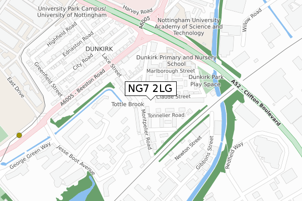
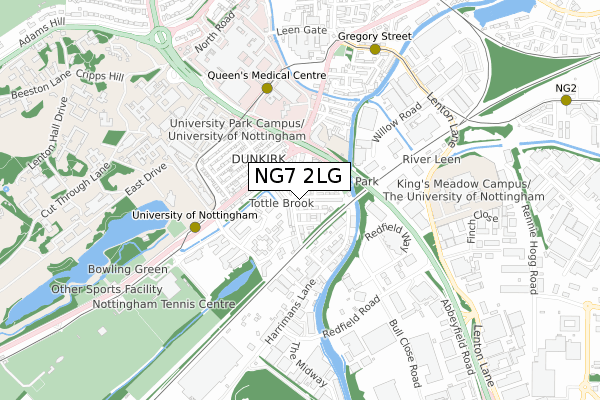
NG7 2LG is located in the Lenton & Wollaton East electoral ward, within the unitary authority of Nottingham and the English Parliamentary constituency of Nottingham South. The Sub Integrated Care Board (ICB) Location is NHS Nottingham and Nottinghamshire ICB - 52R and the police force is Nottinghamshire. This postcode has been in use since January 2020.


GetTheData
Source: OS Open Zoomstack (Ordnance Survey)
Licence: Open Government Licence (requires attribution)
Attribution: Contains OS data © Crown copyright and database right 2025
Source: Open Postcode Geo
Licence: Open Government Licence (requires attribution)
Attribution: Contains OS data © Crown copyright and database right 2025; Contains Royal Mail data © Royal Mail copyright and database right 2025; Source: Office for National Statistics licensed under the Open Government Licence v.3.0
| Easting | 455087 |
| Northing | 338184 |
| Latitude | 52.938254 |
| Longitude | -1.181787 |
GetTheData
Source: Open Postcode Geo
Licence: Open Government Licence
| Country | England |
| Postcode District | NG7 |
➜ See where NG7 is on a map ➜ Where is Nottingham? | |
GetTheData
Source: Land Registry Price Paid Data
Licence: Open Government Licence
| Ward | Lenton & Wollaton East |
| Constituency | Nottingham South |
GetTheData
Source: ONS Postcode Database
Licence: Open Government Licence
| Lace Street (Beeston Road) | Dunkirk | 171m |
| Lace Street (Beeston Road) | Dunkirk | 191m |
| Dunkirk (Clifton Boulevard) | Dunkirk | 310m |
| South Entrance (University Boulevard) | Nottingham University Main Campus | 332m |
| University East Entrance (Clifton Boulevard) | Dunkirk | 358m |
| University Of Nottingham Tram Stop (University Boulevard) | Nottingham University Main Campus | 453m |
| Queens Medical Centre Tram Stop (South Road) | Queens Medical Centre | 496m |
| Gregory Street Tram Stop (Lenton Lane) | Lenton | 704m |
| Ng2 Tram Stop (Enterprise Way) | Lenton Lane Industrial Estate | 1,184m |
| University Boulevard Tram Stop (University Boulevard) | Nottingham University Main Campus | 1,525m |
| Nottingham Station | 2.6km |
| Beeston Station | 2.6km |
| Attenborough Station | 4.9km |
GetTheData
Source: NaPTAN
Licence: Open Government Licence
GetTheData
Source: ONS Postcode Database
Licence: Open Government Licence


➜ Get more ratings from the Food Standards Agency
GetTheData
Source: Food Standards Agency
Licence: FSA terms & conditions
| Last Collection | |||
|---|---|---|---|
| Location | Mon-Fri | Sat | Distance |
| Dunkirk Post Office | 17:30 | 11:30 | 161m |
| Highfields Science Park | 19:15 | 311m | |
| Highfields Science Park | 19:15 | 12:30 | 311m |
GetTheData
Source: Dracos
Licence: Creative Commons Attribution-ShareAlike
| Risk of NG7 2LG flooding from rivers and sea | Very Low |
| ➜ NG7 2LG flood map | |
GetTheData
Source: Open Flood Risk by Postcode
Licence: Open Government Licence
The below table lists the International Territorial Level (ITL) codes (formerly Nomenclature of Territorial Units for Statistics (NUTS) codes) and Local Administrative Units (LAU) codes for NG7 2LG:
| ITL 1 Code | Name |
|---|---|
| TLF | East Midlands (England) |
| ITL 2 Code | Name |
| TLF1 | Derbyshire and Nottinghamshire |
| ITL 3 Code | Name |
| TLF14 | Nottingham |
| LAU 1 Code | Name |
| E06000018 | Nottingham |
GetTheData
Source: ONS Postcode Directory
Licence: Open Government Licence
The below table lists the Census Output Area (OA), Lower Layer Super Output Area (LSOA), and Middle Layer Super Output Area (MSOA) for NG7 2LG:
| Code | Name | |
|---|---|---|
| OA | E00070259 | |
| LSOA | E01013928 | Nottingham 031G |
| MSOA | E02002898 | Nottingham 031 |
GetTheData
Source: ONS Postcode Directory
Licence: Open Government Licence
| NG7 2JY | Montpelier Road | 25m |
| NG7 2JX | Montpelier Road | 66m |
| NG7 2RW | Tonnelier Road | 74m |
| NG7 2LB | Claude Street | 75m |
| NG7 2RP | Barrique Road | 91m |
| NG7 2LA | Claude Street | 98m |
| NG7 2LD | Bunting Street | 102m |
| NG7 2JT | Lace Street | 106m |
| NG7 2JU | Brailsford Road | 109m |
| NG7 2LE | Marlborough Street | 124m |
GetTheData
Source: Open Postcode Geo; Land Registry Price Paid Data
Licence: Open Government Licence