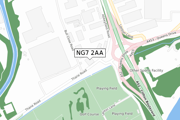
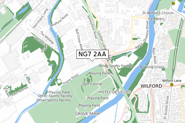
NG7 2AA is located in the Lenton & Wollaton East electoral ward, within the unitary authority of Nottingham and the English Parliamentary constituency of Nottingham South. The Sub Integrated Care Board (ICB) Location is NHS Nottingham and Nottinghamshire ICB - 52R and the police force is Nottinghamshire. This postcode has been in use since July 2017.


GetTheData
Source: OS Open Zoomstack (Ordnance Survey)
Licence: Open Government Licence (requires attribution)
Attribution: Contains OS data © Crown copyright and database right 2024
Source: Open Postcode Geo
Licence: Open Government Licence (requires attribution)
Attribution: Contains OS data © Crown copyright and database right 2024; Contains Royal Mail data © Royal Mail copyright and database right 2024; Source: Office for National Statistics licensed under the Open Government Licence v.3.0
| Easting | 455752 |
| Northing | 337136 |
| Latitude | 52.928765 |
| Longitude | -1.172073 |
GetTheData
Source: Open Postcode Geo
Licence: Open Government Licence
| Country | England |
| Postcode District | NG7 |
➜ See where NG7 is on a map ➜ Where is Nottingham? | |
GetTheData
Source: Land Registry Price Paid Data
Licence: Open Government Licence
| Ward | Lenton & Wollaton East |
| Constituency | Nottingham South |
GetTheData
Source: ONS Postcode Database
Licence: Open Government Licence
| Imperial Tobacco (Thane Road) | Lenton Lane Industrial Estate | 107m |
| Imperial Tobacco (Thane Road) | Lenton Lane Industrial Estate | 116m |
| Clifton Bridge North (Clifton Boulevard) | Lenton Lane Industrial Estate | 193m |
| Jackson Building Centre (Lenton Lane) | Lenton Lane Industrial Estate | 249m |
| Clifton Bridge North (Clifton Boulevard) | Lenton Lane Industrial Estate | 265m |
| Wilford Lane Tram Stop (Wilford Lane) | Wilford | 1,115m |
| Wilford Village Tram Stop (Main Road) | Wilford | 1,348m |
| University Of Nottingham Tram Stop (University Boulevard) | Nottingham University Main Campus | 1,444m |
| Compton Acres Tram Stop (N/A) | Compton Acres | 1,455m |
| Ng2 Tram Stop (Enterprise Way) | Lenton Lane Industrial Estate | 1,528m |
| Beeston Station | 2.6km |
| Nottingham Station | 2.7km |
| Attenborough Station | 4.7km |
GetTheData
Source: NaPTAN
Licence: Open Government Licence
GetTheData
Source: ONS Postcode Database
Licence: Open Government Licence


➜ Get more ratings from the Food Standards Agency
GetTheData
Source: Food Standards Agency
Licence: FSA terms & conditions
| Last Collection | |||
|---|---|---|---|
| Location | Mon-Fri | Sat | Distance |
| Lenton Lane | 17:30 | 11:00 | 712m |
| Redfield Road | 17:30 | 12:30 | 825m |
| Lenton Lane | 848m | ||
GetTheData
Source: Dracos
Licence: Creative Commons Attribution-ShareAlike
| Risk of NG7 2AA flooding from rivers and sea | Low |
| ➜ NG7 2AA flood map | |
GetTheData
Source: Open Flood Risk by Postcode
Licence: Open Government Licence
The below table lists the International Territorial Level (ITL) codes (formerly Nomenclature of Territorial Units for Statistics (NUTS) codes) and Local Administrative Units (LAU) codes for NG7 2AA:
| ITL 1 Code | Name |
|---|---|
| TLF | East Midlands (England) |
| ITL 2 Code | Name |
| TLF1 | Derbyshire and Nottinghamshire |
| ITL 3 Code | Name |
| TLF14 | Nottingham |
| LAU 1 Code | Name |
| E06000018 | Nottingham |
GetTheData
Source: ONS Postcode Directory
Licence: Open Government Licence
The below table lists the Census Output Area (OA), Lower Layer Super Output Area (LSOA), and Middle Layer Super Output Area (MSOA) for NG7 2AA:
| Code | Name | |
|---|---|---|
| OA | E00070259 | |
| LSOA | E01013928 | Nottingham 031G |
| MSOA | E02002898 | Nottingham 031 |
GetTheData
Source: ONS Postcode Directory
Licence: Open Government Licence
| NG7 2UJ | Redfield Road | 576m |
| NG11 7GD | Deane Road | 744m |
| NG11 7EQ | Chancery Court | 775m |
| NG11 7GA | Hunters Close | 780m |
| NG11 7GB | Waters Edge | 781m |
| NG11 7AP | Main Road | 808m |
| NG11 7GZ | Winifred Close | 812m |
| NG90 1BS | Thane Road | 817m |
| NG11 7GQ | Deane Road | 835m |
| NG11 7GY | Ferryman Road | 840m |
GetTheData
Source: Open Postcode Geo; Land Registry Price Paid Data
Licence: Open Government Licence