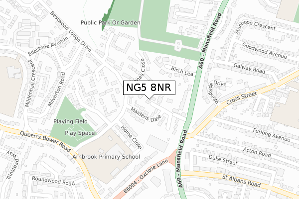
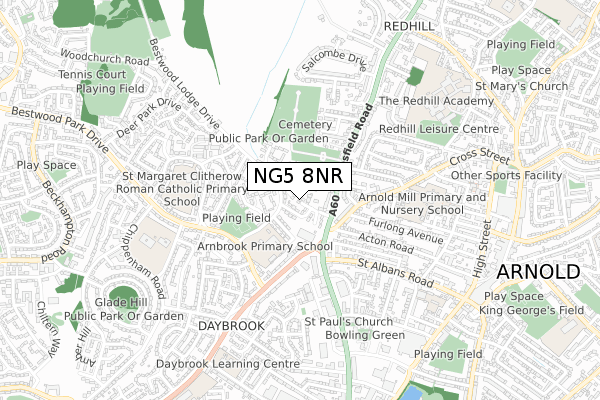
NG5 8NR is located in the Daybrook electoral ward, within the local authority district of Gedling and the English Parliamentary constituency of Gedling. The Sub Integrated Care Board (ICB) Location is NHS Nottingham and Nottinghamshire ICB - 52R and the police force is Nottinghamshire. This postcode has been in use since May 2018.


GetTheData
Source: OS Open Zoomstack (Ordnance Survey)
Licence: Open Government Licence (requires attribution)
Attribution: Contains OS data © Crown copyright and database right 2024
Source: Open Postcode Geo
Licence: Open Government Licence (requires attribution)
Attribution: Contains OS data © Crown copyright and database right 2024; Contains Royal Mail data © Royal Mail copyright and database right 2024; Source: Office for National Statistics licensed under the Open Government Licence v.3.0
| Easting | 457758 |
| Northing | 345660 |
| Latitude | 53.005169 |
| Longitude | -1.140718 |
GetTheData
Source: Open Postcode Geo
Licence: Open Government Licence
| Country | England |
| Postcode District | NG5 |
➜ See where NG5 is on a map ➜ Where is Arnold? | |
GetTheData
Source: Land Registry Price Paid Data
Licence: Open Government Licence
| Ward | Daybrook |
| Constituency | Gedling |
GetTheData
Source: ONS Postcode Database
Licence: Open Government Licence
| Cross Street (Mansfield Road) | Daybrook | 136m |
| Cross Street (Mansfield Road) | Daybrook | 197m |
| Furlong Avenue (Cross Street) | Daybrook | 198m |
| Furlong Avenue (Cross Street) | Daybrook | 199m |
| Oxclose Lane | Daybrook | 202m |
| Bulwell Station | 3.8km |
| Hucknall Station | 5.2km |
| Carlton Station | 6.1km |
GetTheData
Source: NaPTAN
Licence: Open Government Licence
| Percentage of properties with Next Generation Access | 100.0% |
| Percentage of properties with Superfast Broadband | 100.0% |
| Percentage of properties with Ultrafast Broadband | 0.0% |
| Percentage of properties with Full Fibre Broadband | 0.0% |
Superfast Broadband is between 30Mbps and 300Mbps
Ultrafast Broadband is > 300Mbps
| Percentage of properties unable to receive 2Mbps | 0.0% |
| Percentage of properties unable to receive 5Mbps | 0.0% |
| Percentage of properties unable to receive 10Mbps | 0.0% |
| Percentage of properties unable to receive 30Mbps | 0.0% |
GetTheData
Source: Ofcom
Licence: Ofcom Terms of Use (requires attribution)
GetTheData
Source: ONS Postcode Database
Licence: Open Government Licence


➜ Get more ratings from the Food Standards Agency
GetTheData
Source: Food Standards Agency
Licence: FSA terms & conditions
| Last Collection | |||
|---|---|---|---|
| Location | Mon-Fri | Sat | Distance |
| Mansfield Road | 17:00 | 11:30 | 354m |
| Mildenhall Crescent | 17:30 | 10:00 | 422m |
| Byron Street | 17:30 | 10:30 | 598m |
GetTheData
Source: Dracos
Licence: Creative Commons Attribution-ShareAlike
The below table lists the International Territorial Level (ITL) codes (formerly Nomenclature of Territorial Units for Statistics (NUTS) codes) and Local Administrative Units (LAU) codes for NG5 8NR:
| ITL 1 Code | Name |
|---|---|
| TLF | East Midlands (England) |
| ITL 2 Code | Name |
| TLF1 | Derbyshire and Nottinghamshire |
| ITL 3 Code | Name |
| TLF16 | South Nottinghamshire |
| LAU 1 Code | Name |
| E07000173 | Gedling |
GetTheData
Source: ONS Postcode Directory
Licence: Open Government Licence
The below table lists the Census Output Area (OA), Lower Layer Super Output Area (LSOA), and Middle Layer Super Output Area (MSOA) for NG5 8NR:
| Code | Name | |
|---|---|---|
| OA | E00143506 | |
| LSOA | E01028166 | Gedling 006C |
| MSOA | E02005870 | Gedling 006 |
GetTheData
Source: ONS Postcode Directory
Licence: Open Government Licence
| NG5 8LQ | Maidens Dale | 56m |
| NG5 8NU | Danes Close | 80m |
| NG5 8LT | Birch Lea | 113m |
| NG5 8LP | Home Close | 147m |
| NG5 8NX | Sloethorne Gardens | 152m |
| NG5 8LS | Mansfield Road | 178m |
| NG5 8NG | Knowles Walk | 204m |
| NG5 7BS | Woodside Drive | 205m |
| NG5 7FL | Woodside Drive | 216m |
| NG5 8NW | Heddington Gardens | 226m |
GetTheData
Source: Open Postcode Geo; Land Registry Price Paid Data
Licence: Open Government Licence