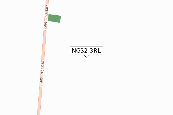
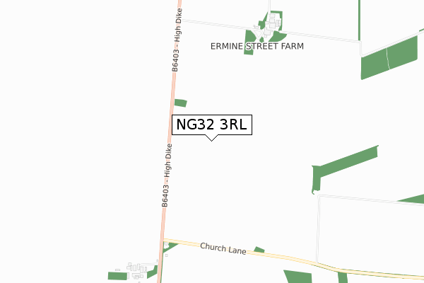
NG32 3RL is located in the Cranwell, Leasingham & Wilsford electoral ward, within the local authority district of North Kesteven and the English Parliamentary constituency of Sleaford and North Hykeham. The Sub Integrated Care Board (ICB) Location is NHS Lincolnshire ICB - 71E and the police force is Lincolnshire. This postcode has been in use since December 2019.


GetTheData
Source: OS Open Zoomstack (Ordnance Survey)
Licence: Open Government Licence (requires attribution)
Attribution: Contains OS data © Crown copyright and database right 2025
Source: Open Postcode Geo
Licence: Open Government Licence (requires attribution)
Attribution: Contains OS data © Crown copyright and database right 2025; Contains Royal Mail data © Royal Mail copyright and database right 2025; Source: Office for National Statistics licensed under the Open Government Licence v.3.0
| Easting | 499047 |
| Northing | 346890 |
| Latitude | 53.010189 |
| Longitude | -0.525214 |
GetTheData
Source: Open Postcode Geo
Licence: Open Government Licence
| Country | England |
| Postcode District | NG32 |
➜ See where NG32 is on a map | |
GetTheData
Source: Land Registry Price Paid Data
Licence: Open Government Licence
| Ward | Cranwell, Leasingham & Wilsford |
| Constituency | Sleaford And North Hykeham |
GetTheData
Source: ONS Postcode Database
Licence: Open Government Licence
| Ancaster Station | 2.6km |
| Rauceby Station | 5.4km |
GetTheData
Source: NaPTAN
Licence: Open Government Licence
GetTheData
Source: ONS Postcode Database
Licence: Open Government Licence
| Last Collection | |||
|---|---|---|---|
| Location | Mon-Fri | Sat | Distance |
| Ancaster North End | 15:30 | 11:00 | 2,653m |
| Ancaster Post Office | 15:30 | 09:00 | 2,978m |
| Ancaster South End | 16:00 | 07:00 | 3,562m |
GetTheData
Source: Dracos
Licence: Creative Commons Attribution-ShareAlike
The below table lists the International Territorial Level (ITL) codes (formerly Nomenclature of Territorial Units for Statistics (NUTS) codes) and Local Administrative Units (LAU) codes for NG32 3RL:
| ITL 1 Code | Name |
|---|---|
| TLF | East Midlands (England) |
| ITL 2 Code | Name |
| TLF3 | Lincolnshire |
| ITL 3 Code | Name |
| TLF30 | Lincolnshire CC |
| LAU 1 Code | Name |
| E07000139 | North Kesteven |
GetTheData
Source: ONS Postcode Directory
Licence: Open Government Licence
The below table lists the Census Output Area (OA), Lower Layer Super Output Area (LSOA), and Middle Layer Super Output Area (MSOA) for NG32 3RL:
| Code | Name | |
|---|---|---|
| OA | E00133082 | |
| LSOA | E01026209 | North Kesteven 009A |
| MSOA | E02005461 | North Kesteven 009 |
GetTheData
Source: ONS Postcode Directory
Licence: Open Government Licence
| NG32 3RQ | The Hollow | 1618m |
| NG34 8QT | 1647m | |
| NG32 3RF | Waterwell Lane | 2309m |
| NG32 3RW | Waterwell Lane | 2321m |
| NG32 3RE | West View | 2339m |
| NG32 3RD | Ermine Close | 2355m |
| NG34 8EY | Byards Leap | 2374m |
| NG34 8EZ | Byards Leap | 2385m |
| NG32 3RB | North Drive | 2386m |
| NG32 3QR | Ermine Street | 2395m |
GetTheData
Source: Open Postcode Geo; Land Registry Price Paid Data
Licence: Open Government Licence