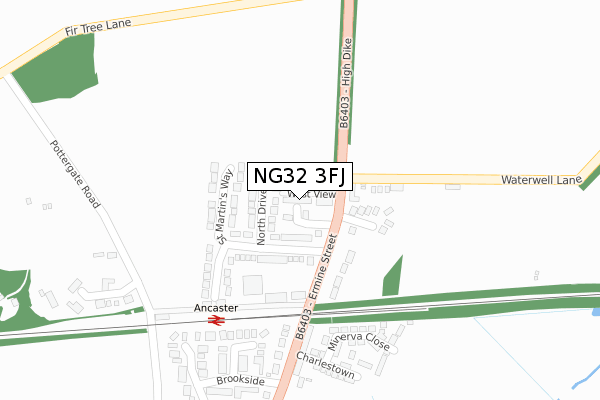
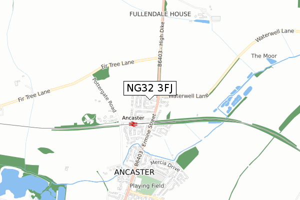
NG32 3FJ is located in the Peascliffe & Ridgeway electoral ward, within the local authority district of South Kesteven and the English Parliamentary constituency of Sleaford and North Hykeham. The Sub Integrated Care Board (ICB) Location is NHS Lincolnshire ICB - 71E and the police force is Lincolnshire. This postcode has been in use since October 2019.


GetTheData
Source: OS Open Zoomstack (Ordnance Survey)
Licence: Open Government Licence (requires attribution)
Attribution: Contains OS data © Crown copyright and database right 2025
Source: Open Postcode Geo
Licence: Open Government Licence (requires attribution)
Attribution: Contains OS data © Crown copyright and database right 2025; Contains Royal Mail data © Royal Mail copyright and database right 2025; Source: Office for National Statistics licensed under the Open Government Licence v.3.0
| Easting | 498569 |
| Northing | 344578 |
| Latitude | 52.989501 |
| Longitude | -0.533039 |
GetTheData
Source: Open Postcode Geo
Licence: Open Government Licence
| Country | England |
| Postcode District | NG32 |
➜ See where NG32 is on a map ➜ Where is Ancaster? | |
GetTheData
Source: Land Registry Price Paid Data
Licence: Open Government Licence
| Ward | Peascliffe & Ridgeway |
| Constituency | Sleaford And North Hykeham |
GetTheData
Source: ONS Postcode Database
Licence: Open Government Licence
| The Railway Inn (Ermine Street) | Ancaster | 144m |
| The Railway Inn (Ermine Street) | Ancaster | 166m |
| Primary School (Mercia Drive) | Ancaster | 587m |
| Hillside (Wilsford Lane) | Ancaster | 812m |
| Hillside (Wilsford Lane) | Ancaster | 831m |
| Ancaster Station | 0.3km |
GetTheData
Source: NaPTAN
Licence: Open Government Licence
GetTheData
Source: ONS Postcode Database
Licence: Open Government Licence


➜ Get more ratings from the Food Standards Agency
GetTheData
Source: Food Standards Agency
Licence: FSA terms & conditions
| Last Collection | |||
|---|---|---|---|
| Location | Mon-Fri | Sat | Distance |
| Ancaster North End | 15:30 | 11:00 | 295m |
| Ancaster Post Office | 15:30 | 09:00 | 617m |
| Ancaster South End | 16:00 | 07:00 | 1,204m |
GetTheData
Source: Dracos
Licence: Creative Commons Attribution-ShareAlike
The below table lists the International Territorial Level (ITL) codes (formerly Nomenclature of Territorial Units for Statistics (NUTS) codes) and Local Administrative Units (LAU) codes for NG32 3FJ:
| ITL 1 Code | Name |
|---|---|
| TLF | East Midlands (England) |
| ITL 2 Code | Name |
| TLF3 | Lincolnshire |
| ITL 3 Code | Name |
| TLF30 | Lincolnshire CC |
| LAU 1 Code | Name |
| E07000141 | South Kesteven |
GetTheData
Source: ONS Postcode Directory
Licence: Open Government Licence
The below table lists the Census Output Area (OA), Lower Layer Super Output Area (LSOA), and Middle Layer Super Output Area (MSOA) for NG32 3FJ:
| Code | Name | |
|---|---|---|
| OA | E00133645 | |
| LSOA | E01026314 | South Kesteven 001B |
| MSOA | E02005476 | South Kesteven 001 |
GetTheData
Source: ONS Postcode Directory
Licence: Open Government Licence
| NG32 3RE | West View | 22m |
| NG32 3RB | North Drive | 82m |
| NG32 3QR | Ermine Street | 103m |
| NG32 3RA | St Martins Way | 104m |
| NG32 3RD | Ermine Close | 129m |
| NG32 3RW | Waterwell Lane | 135m |
| NG32 3RF | Waterwell Lane | 160m |
| NG32 3QU | Brookside Close | 245m |
| NG32 3LJ | Minerva Close | 259m |
| NG32 3LH | Charlestown | 284m |
GetTheData
Source: Open Postcode Geo; Land Registry Price Paid Data
Licence: Open Government Licence