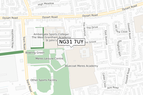
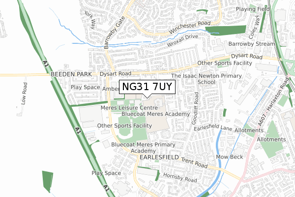
NG31 7UY is located in the Grantham Earlesfield electoral ward, within the local authority district of South Kesteven and the English Parliamentary constituency of Grantham and Stamford. The Sub Integrated Care Board (ICB) Location is NHS Lincolnshire ICB - 71E and the police force is Lincolnshire. This postcode has been in use since September 2018.


GetTheData
Source: OS Open Zoomstack (Ordnance Survey)
Licence: Open Government Licence (requires attribution)
Attribution: Contains OS data © Crown copyright and database right 2025
Source: Open Postcode Geo
Licence: Open Government Licence (requires attribution)
Attribution: Contains OS data © Crown copyright and database right 2025; Contains Royal Mail data © Royal Mail copyright and database right 2025; Source: Office for National Statistics licensed under the Open Government Licence v.3.0
| Easting | 489962 |
| Northing | 335319 |
| Latitude | 52.907804 |
| Longitude | -0.663787 |
GetTheData
Source: Open Postcode Geo
Licence: Open Government Licence
| Country | England |
| Postcode District | NG31 |
➜ See where NG31 is on a map ➜ Where is Grantham? | |
GetTheData
Source: Land Registry Price Paid Data
Licence: Open Government Licence
| Ward | Grantham Earlesfield |
| Constituency | Grantham And Stamford |
GetTheData
Source: ONS Postcode Database
Licence: Open Government Licence
| St Hughs School (The Grove) | Grantham | 70m |
| Meres Leisure Centre Main Entrance (Trent Road) | Grantham | 211m |
| The Avenue (Dysart Road) | Grantham | 243m |
| The Avenue (Dysart Road) | Grantham | 246m |
| Barrowby Gate (Dysart Road) | Grantham | 299m |
| Grantham Station | 1.4km |
GetTheData
Source: NaPTAN
Licence: Open Government Licence
| Percentage of properties with Next Generation Access | 100.0% |
| Percentage of properties with Superfast Broadband | 100.0% |
| Percentage of properties with Ultrafast Broadband | 0.0% |
| Percentage of properties with Full Fibre Broadband | 0.0% |
Superfast Broadband is between 30Mbps and 300Mbps
Ultrafast Broadband is > 300Mbps
| Percentage of properties unable to receive 2Mbps | 0.0% |
| Percentage of properties unable to receive 5Mbps | 0.0% |
| Percentage of properties unable to receive 10Mbps | 0.0% |
| Percentage of properties unable to receive 30Mbps | 0.0% |
GetTheData
Source: Ofcom
Licence: Ofcom Terms of Use (requires attribution)
GetTheData
Source: ONS Postcode Database
Licence: Open Government Licence


➜ Get more ratings from the Food Standards Agency
GetTheData
Source: Food Standards Agency
Licence: FSA terms & conditions
| Last Collection | |||
|---|---|---|---|
| Location | Mon-Fri | Sat | Distance |
| Dysart Road Post Office | 17:00 | 12:00 | 395m |
| Barrowby Gate | 16:00 | 11:45 | 770m |
| Ellesmere Business Park | 18:30 | 11:45 | 800m |
GetTheData
Source: Dracos
Licence: Creative Commons Attribution-ShareAlike
The below table lists the International Territorial Level (ITL) codes (formerly Nomenclature of Territorial Units for Statistics (NUTS) codes) and Local Administrative Units (LAU) codes for NG31 7UY:
| ITL 1 Code | Name |
|---|---|
| TLF | East Midlands (England) |
| ITL 2 Code | Name |
| TLF3 | Lincolnshire |
| ITL 3 Code | Name |
| TLF30 | Lincolnshire CC |
| LAU 1 Code | Name |
| E07000141 | South Kesteven |
GetTheData
Source: ONS Postcode Directory
Licence: Open Government Licence
The below table lists the Census Output Area (OA), Lower Layer Super Output Area (LSOA), and Middle Layer Super Output Area (MSOA) for NG31 7UY:
| Code | Name | |
|---|---|---|
| OA | E00133623 | |
| LSOA | E01026308 | South Kesteven 005A |
| MSOA | E02005480 | South Kesteven 005 |
GetTheData
Source: ONS Postcode Directory
Licence: Open Government Licence
| NG31 7PT | West Avenue | 79m |
| NG31 7XQ | Trent Road | 105m |
| NG31 7PS | The Drive | 146m |
| NG31 7PP | The Avenue | 148m |
| NG31 7PU | The Grove | 152m |
| NG31 7LH | Dysart Road | 206m |
| NG31 7PZ | East Avenue | 210m |
| NG31 7PR | The Drive | 235m |
| NG31 7PY | Ambergate Walk | 237m |
| NG31 7LP | Dysart Road | 248m |
GetTheData
Source: Open Postcode Geo; Land Registry Price Paid Data
Licence: Open Government Licence