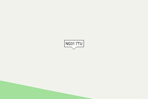
NG31 7TU is located in the Belmont electoral ward, within the local authority district of South Kesteven and the English Parliamentary constituency of Grantham and Stamford. The Sub Integrated Care Board (ICB) Location is NHS Lincolnshire ICB - 71E and the police force is Lincolnshire. This postcode has been in use since May 2015.


GetTheData
Source: OS OpenMap – Local (Ordnance Survey)
Source: OS VectorMap District (Ordnance Survey)
Licence: Open Government Licence (requires attribution)
| Easting | 494397 |
| Northing | 334525 |
| Latitude | 52.899887 |
| Longitude | -0.598099 |
GetTheData
Source: Open Postcode Geo
Licence: Open Government Licence
| Country | England |
| Postcode District | NG31 |
➜ See where NG31 is on a map | |
GetTheData
Source: Land Registry Price Paid Data
Licence: Open Government Licence
Elevation or altitude of NG31 7TU as distance above sea level:
| Metres | Feet | |
|---|---|---|
| Elevation | 130m | 427ft |
Elevation is measured from the approximate centre of the postcode, to the nearest point on an OS contour line from OS Terrain 50, which has contour spacing of ten vertical metres.
➜ How high above sea level am I? Find the elevation of your current position using your device's GPS.
GetTheData
Source: Open Postcode Elevation
Licence: Open Government Licence
| Ward | Belmont |
| Constituency | Grantham And Stamford |
GetTheData
Source: ONS Postcode Database
Licence: Open Government Licence
| Demand Responsive Area (Callconnect) | Cold Harbour | 722m |
| Prince William Barracks (Somerby Hill) | Grantham | 907m |
| Prince William Barracks (Somerby Hill) | Grantham | 925m |
| Fox & Hounds Ph (Grantham Road) | Old Somerby | 1,743m |
| Demand Responsive Area | Old Somerby | 1,746m |
| Grantham Station | 3.1km |
GetTheData
Source: NaPTAN
Licence: Open Government Licence
GetTheData
Source: ONS Postcode Database
Licence: Open Government Licence


➜ Get more ratings from the Food Standards Agency
GetTheData
Source: Food Standards Agency
Licence: FSA terms & conditions
| Last Collection | |||
|---|---|---|---|
| Location | Mon-Fri | Sat | Distance |
| P.w.o.g. Barracks | 15:40 | 09:00 | 118m |
| Bridge End Road | 18:15 | 11:30 | 1,906m |
| Houghton Road | 18:15 | 11:30 | 2,466m |
GetTheData
Source: Dracos
Licence: Creative Commons Attribution-ShareAlike
The below table lists the International Territorial Level (ITL) codes (formerly Nomenclature of Territorial Units for Statistics (NUTS) codes) and Local Administrative Units (LAU) codes for NG31 7TU:
| ITL 1 Code | Name |
|---|---|
| TLF | East Midlands (England) |
| ITL 2 Code | Name |
| TLF3 | Lincolnshire |
| ITL 3 Code | Name |
| TLF30 | Lincolnshire CC |
| LAU 1 Code | Name |
| E07000141 | South Kesteven |
GetTheData
Source: ONS Postcode Directory
Licence: Open Government Licence
The below table lists the Census Output Area (OA), Lower Layer Super Output Area (LSOA), and Middle Layer Super Output Area (MSOA) for NG31 7TU:
| Code | Name | |
|---|---|---|
| OA | E00133555 | |
| LSOA | E01026293 | South Kesteven 007B |
| MSOA | E02005482 | South Kesteven 007 |
GetTheData
Source: ONS Postcode Directory
Licence: Open Government Licence
| NG31 7TX | The Cottages | 688m |
| NG31 7TT | Bridge End Road | 761m |
| NG31 9ET | Turnor Road | 910m |
| NG31 9EX | Heath Farm Lane | 1355m |
| NG31 9HA | Hall Lane | 1466m |
| NG31 7HG | Saltersford Road | 1527m |
| NG31 7HE | Bridge End Road | 1538m |
| NG31 7GZ | Eastwood Drive | 1556m |
| NG31 7HH | Saltersford Road | 1574m |
| NG31 7HL | Saltersford Road | 1600m |
GetTheData
Source: Open Postcode Geo; Land Registry Price Paid Data
Licence: Open Government Licence