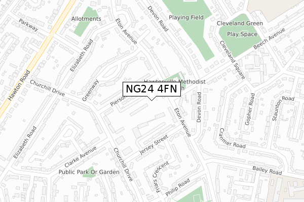
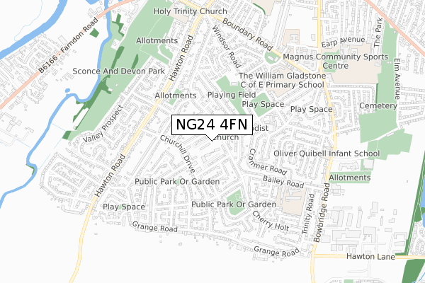
NG24 4FN is located in the Devon electoral ward, within the local authority district of Newark and Sherwood and the English Parliamentary constituency of Newark. The Sub Integrated Care Board (ICB) Location is NHS Nottingham and Nottinghamshire ICB - 52R and the police force is Nottinghamshire. This postcode has been in use since February 2020.


GetTheData
Source: OS Open Zoomstack (Ordnance Survey)
Licence: Open Government Licence (requires attribution)
Attribution: Contains OS data © Crown copyright and database right 2024
Source: Open Postcode Geo
Licence: Open Government Licence (requires attribution)
Attribution: Contains OS data © Crown copyright and database right 2024; Contains Royal Mail data © Royal Mail copyright and database right 2024; Source: Office for National Statistics licensed under the Open Government Licence v.3.0
| Easting | 479528 |
| Northing | 352440 |
| Latitude | 53.063317 |
| Longitude | -0.814690 |
GetTheData
Source: Open Postcode Geo
Licence: Open Government Licence
| Country | England |
| Postcode District | NG24 |
➜ See where NG24 is on a map ➜ Where is Newark-on-Trent? | |
GetTheData
Source: Land Registry Price Paid Data
Licence: Open Government Licence
| Ward | Devon |
| Constituency | Newark |
GetTheData
Source: ONS Postcode Database
Licence: Open Government Licence
| Beech Avenue | Hawtonville | 90m |
| Beech Avenue | Hawtonville | 125m |
| Devon Road (Eton Avenue) | Hawtonville | 141m |
| Pierson Street | Hawtonville | 151m |
| Devon Road (Eton Avenue) | Hawtonville | 155m |
| Newark Castle Station | 1.9km |
| Newark North Gate Station | 2.3km |
GetTheData
Source: NaPTAN
Licence: Open Government Licence
GetTheData
Source: ONS Postcode Database
Licence: Open Government Licence


➜ Get more ratings from the Food Standards Agency
GetTheData
Source: Food Standards Agency
Licence: FSA terms & conditions
| Last Collection | |||
|---|---|---|---|
| Location | Mon-Fri | Sat | Distance |
| Hawton Road Post Office | 17:30 | 11:30 | 189m |
| Hawton Road | 17:30 | 11:30 | 686m |
| Victoria Street | 17:30 | 11:30 | 977m |
GetTheData
Source: Dracos
Licence: Creative Commons Attribution-ShareAlike
The below table lists the International Territorial Level (ITL) codes (formerly Nomenclature of Territorial Units for Statistics (NUTS) codes) and Local Administrative Units (LAU) codes for NG24 4FN:
| ITL 1 Code | Name |
|---|---|
| TLF | East Midlands (England) |
| ITL 2 Code | Name |
| TLF1 | Derbyshire and Nottinghamshire |
| ITL 3 Code | Name |
| TLF15 | North Nottinghamshire |
| LAU 1 Code | Name |
| E07000175 | Newark and Sherwood |
GetTheData
Source: ONS Postcode Directory
Licence: Open Government Licence
The below table lists the Census Output Area (OA), Lower Layer Super Output Area (LSOA), and Middle Layer Super Output Area (MSOA) for NG24 4FN:
| Code | Name | |
|---|---|---|
| OA | E00144293 | |
| LSOA | E01028318 | Newark and Sherwood 010C |
| MSOA | E02005902 | Newark and Sherwood 010 |
GetTheData
Source: ONS Postcode Directory
Licence: Open Government Licence
| NG24 4JF | Eton Avenue | 41m |
| NG24 4JG | Pierson Street | 94m |
| NG24 4JH | Eton Avenue | 117m |
| NG24 4JE | Greenway | 147m |
| NG24 4NE | Jersey Street | 159m |
| NG24 4JL | Devon Road | 183m |
| NG24 4LZ | Gorse Road | 186m |
| NG24 4JJ | Eton Avenue | 202m |
| NG24 4JD | Eton Avenue | 205m |
| NG24 4NG | Churchill Drive | 219m |
GetTheData
Source: Open Postcode Geo; Land Registry Price Paid Data
Licence: Open Government Licence