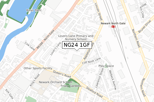
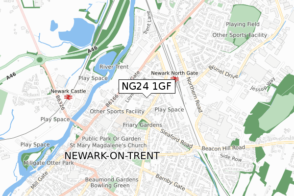
NG24 1GF is located in the Bridge electoral ward, within the local authority district of Newark and Sherwood and the English Parliamentary constituency of Newark. The Sub Integrated Care Board (ICB) Location is NHS Nottingham and Nottinghamshire ICB - 52R and the police force is Nottinghamshire. This postcode has been in use since October 2018.


GetTheData
Source: OS Open Zoomstack (Ordnance Survey)
Licence: Open Government Licence (requires attribution)
Attribution: Contains OS data © Crown copyright and database right 2024
Source: Open Postcode Geo
Licence: Open Government Licence (requires attribution)
Attribution: Contains OS data © Crown copyright and database right 2024; Contains Royal Mail data © Royal Mail copyright and database right 2024; Source: Office for National Statistics licensed under the Open Government Licence v.3.0
| Easting | 480270 |
| Northing | 354330 |
| Latitude | 53.080192 |
| Longitude | -0.803150 |
GetTheData
Source: Open Postcode Geo
Licence: Open Government Licence
| Country | England |
| Postcode District | NG24 |
➜ See where NG24 is on a map ➜ Where is Newark-on-Trent? | |
GetTheData
Source: Land Registry Price Paid Data
Licence: Open Government Licence
| Ward | Bridge |
| Constituency | Newark |
GetTheData
Source: ONS Postcode Database
Licence: Open Government Licence
| Ambulance Station (Queens Road) | Newark | 186m |
| Ambulance Station (Queens Road) | Newark | 197m |
| North Gate Railway Station (Lincoln Street) | Newark | 246m |
| Aldi (North Gate) | Newark | 252m |
| Aldi (North Gate) | Newark | 265m |
| Newark North Gate Station | 0.3km |
| Newark Castle Station | 0.7km |
GetTheData
Source: NaPTAN
Licence: Open Government Licence
GetTheData
Source: ONS Postcode Database
Licence: Open Government Licence


➜ Get more ratings from the Food Standards Agency
GetTheData
Source: Food Standards Agency
Licence: FSA terms & conditions
| Last Collection | |||
|---|---|---|---|
| Location | Mon-Fri | Sat | Distance |
| Lovers Lane | 18:30 | 11:30 | 196m |
| Northgate Post Office | 18:30 | 11:30 | 244m |
| Northgate Station | 18:30 | 11:30 | 282m |
GetTheData
Source: Dracos
Licence: Creative Commons Attribution-ShareAlike
The below table lists the International Territorial Level (ITL) codes (formerly Nomenclature of Territorial Units for Statistics (NUTS) codes) and Local Administrative Units (LAU) codes for NG24 1GF:
| ITL 1 Code | Name |
|---|---|
| TLF | East Midlands (England) |
| ITL 2 Code | Name |
| TLF1 | Derbyshire and Nottinghamshire |
| ITL 3 Code | Name |
| TLF15 | North Nottinghamshire |
| LAU 1 Code | Name |
| E07000175 | Newark and Sherwood |
GetTheData
Source: ONS Postcode Directory
Licence: Open Government Licence
The below table lists the Census Output Area (OA), Lower Layer Super Output Area (LSOA), and Middle Layer Super Output Area (MSOA) for NG24 1GF:
| Code | Name | |
|---|---|---|
| OA | E00144239 | |
| LSOA | E01028310 | Newark and Sherwood 007F |
| MSOA | E02005899 | Newark and Sherwood 007 |
GetTheData
Source: ONS Postcode Directory
Licence: Open Government Licence
| NG24 1LU | George Street | 38m |
| NG24 1LN | Appleton Gate | 56m |
| NG24 1NW | St Georges Court | 59m |
| NG24 1JE | Mumby Close | 64m |
| NG24 1JW | George Street | 65m |
| NG24 1LA | George Street | 71m |
| NG24 1LR | Appleton Gate | 82m |
| NG24 1GL | George Street | 83m |
| NG24 1LT | Warburton Street | 124m |
| NG24 1HZ | Lovers Lane | 129m |
GetTheData
Source: Open Postcode Geo; Land Registry Price Paid Data
Licence: Open Government Licence