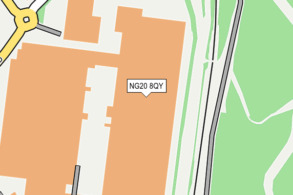
NG20 8QY is located in the Shirebrook South electoral ward, within the local authority district of Bolsover and the English Parliamentary constituency of Bolsover. The Sub Integrated Care Board (ICB) Location is NHS Derby and Derbyshire ICB - 15M and the police force is Derbyshire. This postcode has been in use since August 2006.


GetTheData
Source: OS OpenMap – Local (Ordnance Survey)
Source: OS VectorMap District (Ordnance Survey)
Licence: Open Government Licence (requires attribution)
| Easting | 453273 |
| Northing | 366944 |
| Latitude | 53.196917 |
| Longitude | -1.204028 |
GetTheData
Source: Open Postcode Geo
Licence: Open Government Licence
| Country | England |
| Postcode District | NG20 |
➜ See where NG20 is on a map ➜ Where is Shirebrook? | |
GetTheData
Source: Land Registry Price Paid Data
Licence: Open Government Licence
Elevation or altitude of NG20 8QY as distance above sea level:
| Metres | Feet | |
|---|---|---|
| Elevation | 90m | 295ft |
Elevation is measured from the approximate centre of the postcode, to the nearest point on an OS contour line from OS Terrain 50, which has contour spacing of ten vertical metres.
➜ How high above sea level am I? Find the elevation of your current position using your device's GPS.
GetTheData
Source: Open Postcode Elevation
Licence: Open Government Licence
| Ward | Shirebrook South |
| Constituency | Bolsover |
GetTheData
Source: ONS Postcode Database
Licence: Open Government Licence
| Sports Direct (Meadow Lane) | Shirebrook | 243m |
| Recreation Drive | Shirebrook | 760m |
| Recreation Drive | Shirebrook | 765m |
| The Grange (Link Road) | Shirebrook | 771m |
| Railway Station (Forecourt) | Shirebrook | 801m |
| Shirebrook Station | 0.8km |
| Mansfield Woodhouse Station | 3.7km |
| Langwith - Whaley Thorns Station | 3.9km |
GetTheData
Source: NaPTAN
Licence: Open Government Licence
GetTheData
Source: ONS Postcode Database
Licence: Open Government Licence


➜ Get more ratings from the Food Standards Agency
GetTheData
Source: Food Standards Agency
Licence: FSA terms & conditions
| Last Collection | |||
|---|---|---|---|
| Location | Mon-Fri | Sat | Distance |
| Station Road | 17:30 | 09:15 | 808m |
| Model Village Ex-post Office | 17:00 | 11:00 | 841m |
| Shirebrook Post Office | 17:00 | 11:00 | 965m |
GetTheData
Source: Dracos
Licence: Creative Commons Attribution-ShareAlike
The below table lists the International Territorial Level (ITL) codes (formerly Nomenclature of Territorial Units for Statistics (NUTS) codes) and Local Administrative Units (LAU) codes for NG20 8QY:
| ITL 1 Code | Name |
|---|---|
| TLF | East Midlands (England) |
| ITL 2 Code | Name |
| TLF1 | Derbyshire and Nottinghamshire |
| ITL 3 Code | Name |
| TLF12 | East Derbyshire |
| LAU 1 Code | Name |
| E07000033 | Bolsover |
GetTheData
Source: ONS Postcode Directory
Licence: Open Government Licence
The below table lists the Census Output Area (OA), Lower Layer Super Output Area (LSOA), and Middle Layer Super Output Area (MSOA) for NG20 8QY:
| Code | Name | |
|---|---|---|
| OA | E00098676 | |
| LSOA | E01019511 | Bolsover 007E |
| MSOA | E02004051 | Bolsover 007 |
GetTheData
Source: ONS Postcode Directory
Licence: Open Government Licence
| NG20 8GB | Weighbridge Road | 365m |
| NG20 8RS | South Avenue | 565m |
| NG20 8RN | Acreage Lane | 567m |
| NG20 8RH | Coronation Drive | 617m |
| NG20 8RR | Brunner Avenue | 631m |
| NG20 8RP | Brunner Avenue | 671m |
| NG20 8SF | Sookholme Road | 678m |
| NG20 8RQ | Vale Drive | 688m |
| NG20 8SS | Vernon Street Industrial Estate | 689m |
| NG20 8RW | Swanwick Avenue | 701m |
GetTheData
Source: Open Postcode Geo; Land Registry Price Paid Data
Licence: Open Government Licence