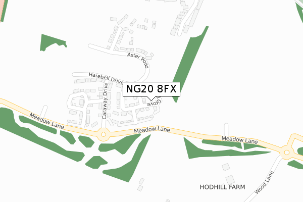
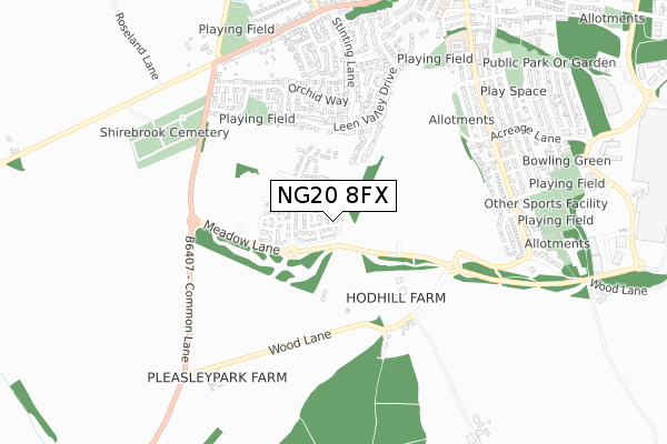
NG20 8FX is located in the Shirebrook South electoral ward, within the local authority district of Bolsover and the English Parliamentary constituency of Bolsover. The Sub Integrated Care Board (ICB) Location is NHS Derby and Derbyshire ICB - 15M and the police force is Derbyshire. This postcode has been in use since June 2018.


GetTheData
Source: OS Open Zoomstack (Ordnance Survey)
Licence: Open Government Licence (requires attribution)
Attribution: Contains OS data © Crown copyright and database right 2024
Source: Open Postcode Geo
Licence: Open Government Licence (requires attribution)
Attribution: Contains OS data © Crown copyright and database right 2024; Contains Royal Mail data © Royal Mail copyright and database right 2024; Source: Office for National Statistics licensed under the Open Government Licence v.3.0
| Easting | 451840 |
| Northing | 366629 |
| Latitude | 53.194245 |
| Longitude | -1.225526 |
GetTheData
Source: Open Postcode Geo
Licence: Open Government Licence
| Country | England |
| Postcode District | NG20 |
➜ See where NG20 is on a map ➜ Where is Shirebrook? | |
GetTheData
Source: Land Registry Price Paid Data
Licence: Open Government Licence
| Ward | Shirebrook South |
| Constituency | Bolsover |
GetTheData
Source: ONS Postcode Database
Licence: Open Government Licence
2024 7 JUN £198,000 |
2022 17 JUN £195,000 |
2022 1 JUN £200,000 |
15, ORCHID GROVE, SHIREBROOK, MANSFIELD, NG20 8FX 2018 30 NOV £152,000 |
17, ORCHID GROVE, SHIREBROOK, MANSFIELD, NG20 8FX 2018 31 OCT £155,000 |
2018 28 SEP £149,995 |
1, ORCHID GROVE, SHIREBROOK, MANSFIELD, NG20 8FX 2018 31 AUG £155,950 |
5, ORCHID GROVE, SHIREBROOK, MANSFIELD, NG20 8FX 2018 31 AUG £158,500 |
8, ORCHID GROVE, SHIREBROOK, MANSFIELD, NG20 8FX 2018 31 JUL £157,950 |
GetTheData
Source: HM Land Registry Price Paid Data
Licence: Contains HM Land Registry data © Crown copyright and database right 2024. This data is licensed under the Open Government Licence v3.0.
| Newbarn Close (Leen Valley Drive) | Shirebrook | 402m |
| Bracken Road | Shirebrook | 419m |
| Orchid Way | Shirebrook | 477m |
| Leen Valley Dr | Shirebrook | 615m |
| Cemetery (B6407) | Shirebrook | 631m |
| Shirebrook Station | 1.9km |
| Mansfield Woodhouse Station | 3.8km |
| Langwith - Whaley Thorns Station | 4.3km |
GetTheData
Source: NaPTAN
Licence: Open Government Licence
| Percentage of properties with Next Generation Access | 100.0% |
| Percentage of properties with Superfast Broadband | 100.0% |
| Percentage of properties with Ultrafast Broadband | 0.0% |
| Percentage of properties with Full Fibre Broadband | 0.0% |
Superfast Broadband is between 30Mbps and 300Mbps
Ultrafast Broadband is > 300Mbps
| Median download speed | 4.9Mbps |
| Average download speed | 20.9Mbps |
| Maximum download speed | 78.12Mbps |
| Median upload speed | 0.8Mbps |
| Average upload speed | 4.4Mbps |
| Maximum upload speed | 19.53Mbps |
| Percentage of properties unable to receive 2Mbps | 0.0% |
| Percentage of properties unable to receive 5Mbps | 0.0% |
| Percentage of properties unable to receive 10Mbps | 0.0% |
| Percentage of properties unable to receive 30Mbps | 0.0% |
GetTheData
Source: Ofcom
Licence: Ofcom Terms of Use (requires attribution)
GetTheData
Source: ONS Postcode Database
Licence: Open Government Licence


➜ Get more ratings from the Food Standards Agency
GetTheData
Source: Food Standards Agency
Licence: FSA terms & conditions
| Last Collection | |||
|---|---|---|---|
| Location | Mon-Fri | Sat | Distance |
| Stinting Lane | 16:00 | 11:00 | 398m |
| Model Village Ex-post Office | 17:00 | 11:00 | 658m |
| Warren Terrace | 17:00 | 09:15 | 733m |
GetTheData
Source: Dracos
Licence: Creative Commons Attribution-ShareAlike
The below table lists the International Territorial Level (ITL) codes (formerly Nomenclature of Territorial Units for Statistics (NUTS) codes) and Local Administrative Units (LAU) codes for NG20 8FX:
| ITL 1 Code | Name |
|---|---|
| TLF | East Midlands (England) |
| ITL 2 Code | Name |
| TLF1 | Derbyshire and Nottinghamshire |
| ITL 3 Code | Name |
| TLF12 | East Derbyshire |
| LAU 1 Code | Name |
| E07000033 | Bolsover |
GetTheData
Source: ONS Postcode Directory
Licence: Open Government Licence
The below table lists the Census Output Area (OA), Lower Layer Super Output Area (LSOA), and Middle Layer Super Output Area (MSOA) for NG20 8FX:
| Code | Name | |
|---|---|---|
| OA | E00170734 | |
| LSOA | E01019512 | Bolsover 006D |
| MSOA | E02004050 | Bolsover 006 |
GetTheData
Source: ONS Postcode Directory
Licence: Open Government Licence
| NG20 8AT | Newbarn Close | 317m |
| NG20 8ET | Violet Close | 412m |
| NG20 8EZ | Primula Close | 442m |
| NG20 8EN | Leen Valley Drive | 445m |
| NG20 8FD | Sunflower Close | 446m |
| NG20 8EX | Campion Close | 449m |
| NG20 8EW | Eider Close | 466m |
| NG20 8ES | Orchid Way | 473m |
| NG20 8FB | Bracken Road | 479m |
| NG19 8RU | Wood Lane | 481m |
GetTheData
Source: Open Postcode Geo; Land Registry Price Paid Data
Licence: Open Government Licence