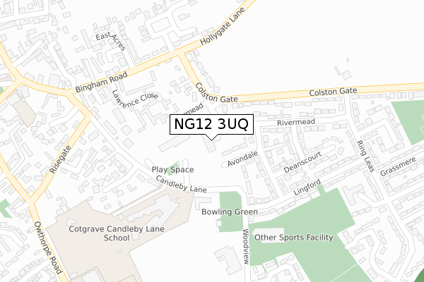
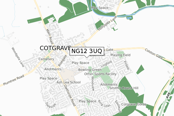
NG12 3UQ is located in the Cotgrave electoral ward, within the local authority district of Rushcliffe and the English Parliamentary constituency of Rushcliffe. The Sub Integrated Care Board (ICB) Location is NHS Nottingham and Nottinghamshire ICB - 52R and the police force is Nottinghamshire. This postcode has been in use since March 2018.


GetTheData
Source: OS Open Zoomstack (Ordnance Survey)
Licence: Open Government Licence (requires attribution)
Attribution: Contains OS data © Crown copyright and database right 2025
Source: Open Postcode Geo
Licence: Open Government Licence (requires attribution)
Attribution: Contains OS data © Crown copyright and database right 2025; Contains Royal Mail data © Royal Mail copyright and database right 2025; Source: Office for National Statistics licensed under the Open Government Licence v.3.0
| Easting | 464935 |
| Northing | 335236 |
| Latitude | 52.910659 |
| Longitude | -1.035865 |
GetTheData
Source: Open Postcode Geo
Licence: Open Government Licence
| Country | England |
| Postcode District | NG12 |
➜ See where NG12 is on a map ➜ Where is Cotgrave? | |
GetTheData
Source: Land Registry Price Paid Data
Licence: Open Government Licence
| Ward | Cotgrave |
| Constituency | Rushcliffe |
GetTheData
Source: ONS Postcode Database
Licence: Open Government Licence
| Candleby Lane | Cotgrave | 111m |
| Candleby Lane | Cotgrave | 129m |
| Colston Gate | Cotgrave | 220m |
| Colston Gate | Cotgrave | 225m |
| Welfare P & R (Woodview) | Cotgrave | 229m |
| Radcliffe (Notts) Station | 4.2km |
GetTheData
Source: NaPTAN
Licence: Open Government Licence
GetTheData
Source: ONS Postcode Database
Licence: Open Government Licence


➜ Get more ratings from the Food Standards Agency
GetTheData
Source: Food Standards Agency
Licence: FSA terms & conditions
| Last Collection | |||
|---|---|---|---|
| Location | Mon-Fri | Sat | Distance |
| The Precinct | 17:30 | 10:00 | 126m |
| Rivermead | 17:30 | 11:00 | 202m |
| Owthorpe Road | 17:30 | 10:00 | 446m |
GetTheData
Source: Dracos
Licence: Creative Commons Attribution-ShareAlike
The below table lists the International Territorial Level (ITL) codes (formerly Nomenclature of Territorial Units for Statistics (NUTS) codes) and Local Administrative Units (LAU) codes for NG12 3UQ:
| ITL 1 Code | Name |
|---|---|
| TLF | East Midlands (England) |
| ITL 2 Code | Name |
| TLF1 | Derbyshire and Nottinghamshire |
| ITL 3 Code | Name |
| TLF16 | South Nottinghamshire |
| LAU 1 Code | Name |
| E07000176 | Rushcliffe |
GetTheData
Source: ONS Postcode Directory
Licence: Open Government Licence
The below table lists the Census Output Area (OA), Lower Layer Super Output Area (LSOA), and Middle Layer Super Output Area (MSOA) for NG12 3UQ:
| Code | Name | |
|---|---|---|
| OA | E00144557 | |
| LSOA | E01028370 | Rushcliffe 009E |
| MSOA | E02005914 | Rushcliffe 009 |
GetTheData
Source: ONS Postcode Directory
Licence: Open Government Licence
| NG12 3LR | Avondale | 117m |
| NG12 3LA | Woodview | 152m |
| NG12 3JX | Colston Gate | 165m |
| NG12 3LQ | Rivermead | 166m |
| NG12 3LP | Rivermead | 172m |
| NG12 3LF | Lawrence Close | 176m |
| NG12 3FY | Candleby Lane | 210m |
| NG12 3LT | Hazelwood | 214m |
| NG12 3JG | Candleby Lane | 223m |
| NG12 3JY | Colston Gate | 230m |
GetTheData
Source: Open Postcode Geo; Land Registry Price Paid Data
Licence: Open Government Licence