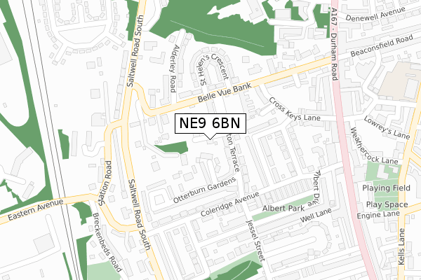
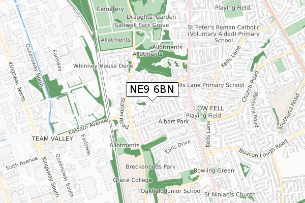
NE9 6BN is located in the Low Fell electoral ward, within the metropolitan district of Gateshead and the English Parliamentary constituency of Gateshead. The Sub Integrated Care Board (ICB) Location is NHS North East and North Cumbria ICB - 13T and the police force is Northumbria. This postcode has been in use since March 2019.


GetTheData
Source: OS Open Zoomstack (Ordnance Survey)
Licence: Open Government Licence (requires attribution)
Attribution: Contains OS data © Crown copyright and database right 2025
Source: Open Postcode Geo
Licence: Open Government Licence (requires attribution)
Attribution: Contains OS data © Crown copyright and database right 2025; Contains Royal Mail data © Royal Mail copyright and database right 2025; Source: Office for National Statistics licensed under the Open Government Licence v.3.0
| Easting | 425448 |
| Northing | 560162 |
| Latitude | 54.935495 |
| Longitude | -1.604369 |
GetTheData
Source: Open Postcode Geo
Licence: Open Government Licence
| Country | England |
| Postcode District | NE9 |
➜ See where NE9 is on a map ➜ Where is Gateshead? | |
GetTheData
Source: Land Registry Price Paid Data
Licence: Open Government Licence
| Ward | Low Fell |
| Constituency | Gateshead |
GetTheData
Source: ONS Postcode Database
Licence: Open Government Licence
THE FOUNTAIN HOUSE, ALUMWELL ROAD, LOW FELL, GATESHEAD, NE9 6BN 2023 17 JUL £400,000 |
GetTheData
Source: HM Land Registry Price Paid Data
Licence: Contains HM Land Registry data © Crown copyright and database right 2025. This data is licensed under the Open Government Licence v3.0.
| Belle Vue Bank | Low Fell | 97m |
| Belle Vue Bank | Low Fell | 105m |
| Saltwell Road South-belle Vue (Saltwell Road South) | Low Fell | 206m |
| Saltwell Road South-crook Foot (Saltwell Road South) | Low Fell | 219m |
| Saltwell Road South-crook Foot (Saltwell Road South) | Low Fell | 238m |
| Dunston Station | 2.9km |
| Heworth Station | 3.6km |
| Newcastle Station | 3.8km |
GetTheData
Source: NaPTAN
Licence: Open Government Licence
| Percentage of properties with Next Generation Access | 100.0% |
| Percentage of properties with Superfast Broadband | 100.0% |
| Percentage of properties with Ultrafast Broadband | 100.0% |
| Percentage of properties with Full Fibre Broadband | 0.0% |
Superfast Broadband is between 30Mbps and 300Mbps
Ultrafast Broadband is > 300Mbps
| Percentage of properties unable to receive 2Mbps | 0.0% |
| Percentage of properties unable to receive 5Mbps | 0.0% |
| Percentage of properties unable to receive 10Mbps | 0.0% |
| Percentage of properties unable to receive 30Mbps | 0.0% |
GetTheData
Source: Ofcom
Licence: Ofcom Terms of Use (requires attribution)
GetTheData
Source: ONS Postcode Database
Licence: Open Government Licence


➜ Get more ratings from the Food Standards Agency
GetTheData
Source: Food Standards Agency
Licence: FSA terms & conditions
| Last Collection | |||
|---|---|---|---|
| Location | Mon-Fri | Sat | Distance |
| Saltwell Road South | 17:30 | 12:00 | 219m |
| Killowen Street | 17:30 | 12:00 | 232m |
| Low Fell Post Office | 17:45 | 12:00 | 346m |
GetTheData
Source: Dracos
Licence: Creative Commons Attribution-ShareAlike
The below table lists the International Territorial Level (ITL) codes (formerly Nomenclature of Territorial Units for Statistics (NUTS) codes) and Local Administrative Units (LAU) codes for NE9 6BN:
| ITL 1 Code | Name |
|---|---|
| TLC | North East (England) |
| ITL 2 Code | Name |
| TLC2 | Northumberland, and Tyne and Wear |
| ITL 3 Code | Name |
| TLC22 | Tyneside |
| LAU 1 Code | Name |
| E08000037 | Gateshead |
GetTheData
Source: ONS Postcode Directory
Licence: Open Government Licence
The below table lists the Census Output Area (OA), Lower Layer Super Output Area (LSOA), and Middle Layer Super Output Area (MSOA) for NE9 6BN:
| Code | Name | |
|---|---|---|
| OA | E00041780 | |
| LSOA | E01008239 | Gateshead 020D |
| MSOA | E02001701 | Gateshead 020 |
GetTheData
Source: ONS Postcode Directory
Licence: Open Government Licence
| NE9 6DL | Belle Vue Cottages | 36m |
| NE9 6DJ | Belle Vue Terrace | 46m |
| NE9 6HH | Winslow Gardens | 81m |
| NE9 6BT | Belle Vue Bank | 82m |
| NE9 6HJ | Carlton Terrace | 95m |
| NE9 6BS | Belle Vue Bank | 106m |
| NE9 6DE | Carlton Terrace | 110m |
| NE9 6QH | Otterburn Gardens | 113m |
| NE9 6HL | Onslow Gardens | 131m |
| NE9 6HN | Studley Gardens | 132m |
GetTheData
Source: Open Postcode Geo; Land Registry Price Paid Data
Licence: Open Government Licence