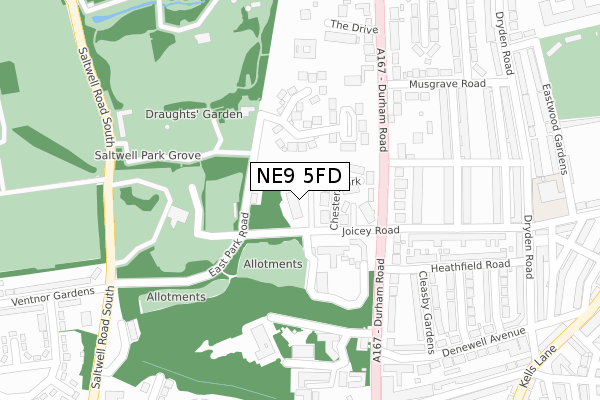
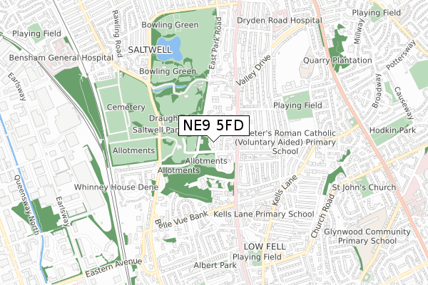
NE9 5FD is located in the Saltwell electoral ward, within the metropolitan district of Gateshead and the English Parliamentary constituency of Gateshead. The Sub Integrated Care Board (ICB) Location is NHS North East and North Cumbria ICB - 13T and the police force is Northumbria. This postcode has been in use since June 2019.


GetTheData
Source: OS Open Zoomstack (Ordnance Survey)
Licence: Open Government Licence (requires attribution)
Attribution: Contains OS data © Crown copyright and database right 2025
Source: Open Postcode Geo
Licence: Open Government Licence (requires attribution)
Attribution: Contains OS data © Crown copyright and database right 2025; Contains Royal Mail data © Royal Mail copyright and database right 2025; Source: Office for National Statistics licensed under the Open Government Licence v.3.0
| Easting | 425605 |
| Northing | 560698 |
| Latitude | 54.940303 |
| Longitude | -1.601872 |
GetTheData
Source: Open Postcode Geo
Licence: Open Government Licence
| Country | England |
| Postcode District | NE9 |
➜ See where NE9 is on a map ➜ Where is Gateshead? | |
GetTheData
Source: Land Registry Price Paid Data
Licence: Open Government Licence
| Ward | Saltwell |
| Constituency | Gateshead |
GetTheData
Source: ONS Postcode Database
Licence: Open Government Licence
| Durham Road-musgrave School (Durham Road) | Low Fell | 153m |
| Durham Road-musgrave School (Durham Road) | Low Fell | 178m |
| Saltwell Road South-crematorium (Saltwell Road South) | Saltwell | 309m |
| Saltwell Road South-south-crematorium (Saltwell Road South) | Saltwell | 315m |
| Durham Road - Beaconsfield Road (Durham Road) | Low Fell | 356m |
| Dunston Station | 2.8km |
| Heworth Station | 3.2km |
| Newcastle Station | 3.3km |
GetTheData
Source: NaPTAN
Licence: Open Government Licence
GetTheData
Source: ONS Postcode Database
Licence: Open Government Licence


➜ Get more ratings from the Food Standards Agency
GetTheData
Source: Food Standards Agency
Licence: FSA terms & conditions
| Last Collection | |||
|---|---|---|---|
| Location | Mon-Fri | Sat | Distance |
| Musgrave Road | 16:00 | 11:15 | 250m |
| Low Fell Post Office | 17:45 | 12:00 | 403m |
| Dryden Road | 16:15 | 11:15 | 476m |
GetTheData
Source: Dracos
Licence: Creative Commons Attribution-ShareAlike
The below table lists the International Territorial Level (ITL) codes (formerly Nomenclature of Territorial Units for Statistics (NUTS) codes) and Local Administrative Units (LAU) codes for NE9 5FD:
| ITL 1 Code | Name |
|---|---|
| TLC | North East (England) |
| ITL 2 Code | Name |
| TLC2 | Northumberland, and Tyne and Wear |
| ITL 3 Code | Name |
| TLC22 | Tyneside |
| LAU 1 Code | Name |
| E08000037 | Gateshead |
GetTheData
Source: ONS Postcode Directory
Licence: Open Government Licence
The below table lists the Census Output Area (OA), Lower Layer Super Output Area (LSOA), and Middle Layer Super Output Area (MSOA) for NE9 5FD:
| Code | Name | |
|---|---|---|
| OA | E00041860 | |
| LSOA | E01008255 | Gateshead 010E |
| MSOA | E02001691 | Gateshead 010 |
GetTheData
Source: ONS Postcode Directory
Licence: Open Government Licence
| NE9 5AT | Joicey Road | 85m |
| NE9 5PB | Chesters Close | 89m |
| NE9 5YW | Chesters Park | 90m |
| NE9 5BF | Mcmillan Close | 106m |
| NE9 5BG | Telford Close | 108m |
| NE9 5AS | Heathfield Place | 157m |
| NE9 5AJ | Durham Road | 199m |
| NE9 5TD | Hawthorn Gardens | 211m |
| NE9 5AL | Durham Road | 212m |
| NE9 5EZ | Durham Road | 243m |
GetTheData
Source: Open Postcode Geo; Land Registry Price Paid Data
Licence: Open Government Licence