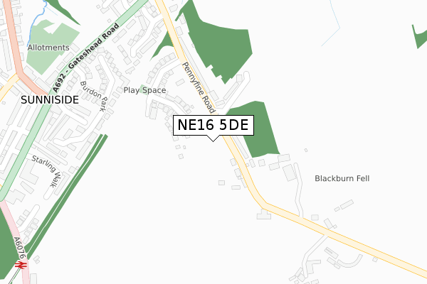
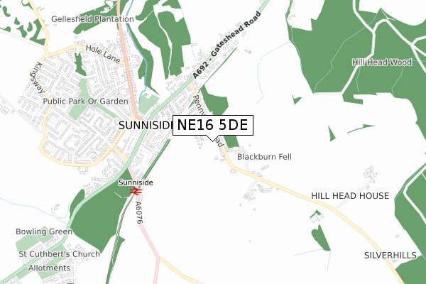
NE16 5DE is located in the Whickham South and Sunniside electoral ward, within the metropolitan district of Gateshead and the English Parliamentary constituency of Blaydon. The Sub Integrated Care Board (ICB) Location is NHS North East and North Cumbria ICB - 13T and the police force is Northumbria. This postcode has been in use since April 2021.


GetTheData
Source: OS Open Zoomstack (Ordnance Survey)
Licence: Open Government Licence (requires attribution)
Attribution: Contains OS data © Crown copyright and database right 2025
Source: Open Postcode Geo
Licence: Open Government Licence (requires attribution)
Attribution: Contains OS data © Crown copyright and database right 2025; Contains Royal Mail data © Royal Mail copyright and database right 2025; Source: Office for National Statistics licensed under the Open Government Licence v.3.0
| Easting | 421390 |
| Northing | 558776 |
| Latitude | 54.923229 |
| Longitude | -1.667804 |
GetTheData
Source: Open Postcode Geo
Licence: Open Government Licence
| Country | England |
| Postcode District | NE16 |
➜ See where NE16 is on a map ➜ Where is Street Gate? | |
GetTheData
Source: Land Registry Price Paid Data
Licence: Open Government Licence
| Ward | Whickham South And Sunniside |
| Constituency | Blaydon |
GetTheData
Source: ONS Postcode Database
Licence: Open Government Licence
| Gateshead Road-pennyfine Road (Gateshead Road) | Sunniside | 368m |
| Gateshead Road-pennyfine Road (Gateshead Road) | Sunniside | 388m |
| Gateshead Road | Sunniside | 436m |
| Gateshead Road (Gateshead Road-starling Walk) | Sunniside | 455m |
| Kingsway - Coronation Street (Kingsway) | Sunniside | 618m |
| Dunston Station | 3.4km |
| Metrocentre Station | 4km |
| Blaydon Station | 5.5km |
GetTheData
Source: NaPTAN
Licence: Open Government Licence
GetTheData
Source: ONS Postcode Database
Licence: Open Government Licence


➜ Get more ratings from the Food Standards Agency
GetTheData
Source: Food Standards Agency
Licence: FSA terms & conditions
| Last Collection | |||
|---|---|---|---|
| Location | Mon-Fri | Sat | Distance |
| Gateshead Road | 17:15 | 10:30 | 392m |
| Sunniside Post Office | 17:15 | 11:30 | 449m |
| Coronation Road | 17:00 | 10:30 | 645m |
GetTheData
Source: Dracos
Licence: Creative Commons Attribution-ShareAlike
The below table lists the International Territorial Level (ITL) codes (formerly Nomenclature of Territorial Units for Statistics (NUTS) codes) and Local Administrative Units (LAU) codes for NE16 5DE:
| ITL 1 Code | Name |
|---|---|
| TLC | North East (England) |
| ITL 2 Code | Name |
| TLC2 | Northumberland, and Tyne and Wear |
| ITL 3 Code | Name |
| TLC22 | Tyneside |
| LAU 1 Code | Name |
| E08000037 | Gateshead |
GetTheData
Source: ONS Postcode Directory
Licence: Open Government Licence
The below table lists the Census Output Area (OA), Lower Layer Super Output Area (LSOA), and Middle Layer Super Output Area (MSOA) for NE16 5DE:
| Code | Name | |
|---|---|---|
| OA | E00041967 | |
| LSOA | E01008272 | Gateshead 019E |
| MSOA | E02001700 | Gateshead 019 |
GetTheData
Source: ONS Postcode Directory
Licence: Open Government Licence
| NE16 5EP | Pennyfine Road | 102m |
| NE16 5HA | Burdon Park | 290m |
| NE16 5HB | Burdon Lodge | 301m |
| NE16 5EU | The Birches | 307m |
| NE16 5LH | Alexandra Terrace | 333m |
| NE16 5LJ | Holmeside Terrace | 365m |
| NE16 5LN | Thirlaway Terrace | 373m |
| NE16 5LW | Ravensworth Terrace | 383m |
| NE16 5LG | Gateshead Road | 395m |
| NE16 5LL | Granby Terrace | 399m |
GetTheData
Source: Open Postcode Geo; Land Registry Price Paid Data
Licence: Open Government Licence