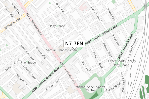
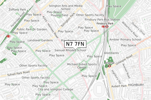
N7 7FN is located in the Finsbury Park electoral ward, within the London borough of Islington and the English Parliamentary constituency of Islington North. The Sub Integrated Care Board (ICB) Location is NHS North Central London ICB - 93C and the police force is Metropolitan Police. This postcode has been in use since November 2019.


GetTheData
Source: OS Open Zoomstack (Ordnance Survey)
Licence: Open Government Licence (requires attribution)
Attribution: Contains OS data © Crown copyright and database right 2025
Source: Open Postcode Geo
Licence: Open Government Licence (requires attribution)
Attribution: Contains OS data © Crown copyright and database right 2025; Contains Royal Mail data © Royal Mail copyright and database right 2025; Source: Office for National Statistics licensed under the Open Government Licence v.3.0
| Easting | 530862 |
| Northing | 186390 |
| Latitude | 51.561219 |
| Longitude | -0.113543 |
GetTheData
Source: Open Postcode Geo
Licence: Open Government Licence
| Country | England |
| Postcode District | N7 |
➜ See where N7 is on a map ➜ Where is London? | |
GetTheData
Source: Land Registry Price Paid Data
Licence: Open Government Licence
| Ward | Finsbury Park |
| Constituency | Islington North |
GetTheData
Source: ONS Postcode Database
Licence: Open Government Licence
| Seven Sisters Road Hornsey Rd | Holloway | 144m |
| Durham Road (N7) | Holloway | 206m |
| Hornsey Road (N7) | Holloway | 228m |
| Berriman Road (Isledon Road) | Holloway | 290m |
| Sobell Centre (Hornsey Road) | Holloway | 340m |
| Arsenal Underground Station | Arsenal | 511m |
| Finsbury Park Underground Station | Finsbury Park | 571m |
| Holloway Road Underground Station | Holloway Road | 948m |
| Caledonian Road Underground Station | Caledonian Road | 1,453m |
| Archway Underground Station | Archway | 1,548m |
| Finsbury Park Station | 0.6km |
| Drayton Park Station | 1.1km |
| Upper Holloway Station | 1.1km |
GetTheData
Source: NaPTAN
Licence: Open Government Licence
GetTheData
Source: ONS Postcode Database
Licence: Open Government Licence


➜ Get more ratings from the Food Standards Agency
GetTheData
Source: Food Standards Agency
Licence: FSA terms & conditions
| Last Collection | |||
|---|---|---|---|
| Location | Mon-Fri | Sat | Distance |
| 121 Seven Sisters Road | 17:30 | 12:00 | 48m |
| 290 Seven Sisters Road | 17:30 | 12:00 | 187m |
| 204 Hornsey Road | 17:30 | 12:00 | 222m |
GetTheData
Source: Dracos
Licence: Creative Commons Attribution-ShareAlike
The below table lists the International Territorial Level (ITL) codes (formerly Nomenclature of Territorial Units for Statistics (NUTS) codes) and Local Administrative Units (LAU) codes for N7 7FN:
| ITL 1 Code | Name |
|---|---|
| TLI | London |
| ITL 2 Code | Name |
| TLI4 | Inner London - East |
| ITL 3 Code | Name |
| TLI43 | Haringey and Islington |
| LAU 1 Code | Name |
| E09000019 | Islington |
GetTheData
Source: ONS Postcode Directory
Licence: Open Government Licence
The below table lists the Census Output Area (OA), Lower Layer Super Output Area (LSOA), and Middle Layer Super Output Area (MSOA) for N7 7FN:
| Code | Name | |
|---|---|---|
| OA | E00174814 | |
| LSOA | E01002731 | Islington 007B |
| MSOA | E02000560 | Islington 007 |
GetTheData
Source: ONS Postcode Directory
Licence: Open Government Licence
| N7 7PL | Seven Sisters Road | 36m |
| N7 7QS | Seven Sisters Road | 54m |
| N7 7EL | Tiltman Place | 77m |
| N7 7QP | Seven Sisters Road | 84m |
| N7 7RH | Corker Walk | 88m |
| N7 7PJ | Thane Villas | 93m |
| N7 7PH | Thane Villas | 96m |
| N7 7EJ | Tiltman Place | 102m |
| N7 7NS | Seven Sisters Road | 102m |
| N7 7EH | Tiltman Place | 118m |
GetTheData
Source: Open Postcode Geo; Land Registry Price Paid Data
Licence: Open Government Licence