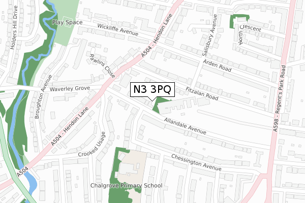
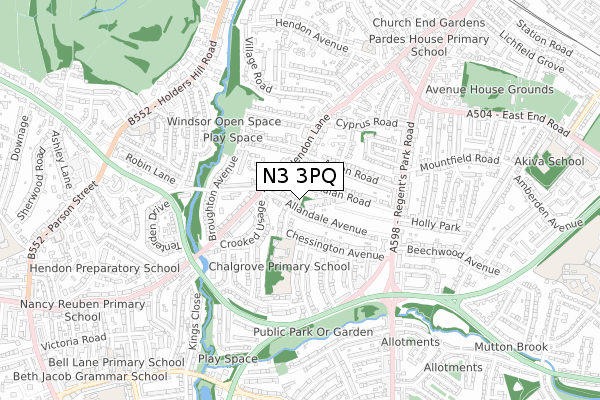
N3 3PQ is located in the Finchley Church End electoral ward, within the London borough of Barnet and the English Parliamentary constituency of Finchley and Golders Green. The Sub Integrated Care Board (ICB) Location is NHS North Central London ICB - 93C and the police force is Metropolitan Police. This postcode has been in use since June 2018.


GetTheData
Source: OS Open Zoomstack (Ordnance Survey)
Licence: Open Government Licence (requires attribution)
Attribution: Contains OS data © Crown copyright and database right 2025
Source: Open Postcode Geo
Licence: Open Government Licence (requires attribution)
Attribution: Contains OS data © Crown copyright and database right 2025; Contains Royal Mail data © Royal Mail copyright and database right 2025; Source: Office for National Statistics licensed under the Open Government Licence v.3.0
| Easting | 524424 |
| Northing | 189810 |
| Latitude | 51.593410 |
| Longitude | -0.205158 |
GetTheData
Source: Open Postcode Geo
Licence: Open Government Licence
| Country | England |
| Postcode District | N3 |
➜ See where N3 is on a map | |
GetTheData
Source: Land Registry Price Paid Data
Licence: Open Government Licence
| Ward | Finchley Church End |
| Constituency | Finchley And Golders Green |
GetTheData
Source: ONS Postcode Database
Licence: Open Government Licence
| Arden Road | Church End | 173m |
| Crooked Usage | Church End | 188m |
| Crooked Usage | Church End | 206m |
| Arden Road | Church End | 258m |
| Broughton Avenue (Hendon Lane) | Hendon | 377m |
| Finchley Central Underground Station | Finchley Central | 1,211m |
| Hendon Central Underground Station | Hendon Central | 1,852m |
| Hendon Station | 2.8km |
| Mill Hill Broadway Station | 3.8km |
| Cricklewood Station | 3.9km |
GetTheData
Source: NaPTAN
Licence: Open Government Licence
GetTheData
Source: ONS Postcode Database
Licence: Open Government Licence


➜ Get more ratings from the Food Standards Agency
GetTheData
Source: Food Standards Agency
Licence: FSA terms & conditions
| Last Collection | |||
|---|---|---|---|
| Location | Mon-Fri | Sat | Distance |
| Hendon Lane | 17:30 | 12:00 | 173m |
| Arden Road | 17:30 | 12:00 | 206m |
| Windsor Road | 17:30 | 12:00 | 330m |
GetTheData
Source: Dracos
Licence: Creative Commons Attribution-ShareAlike
The below table lists the International Territorial Level (ITL) codes (formerly Nomenclature of Territorial Units for Statistics (NUTS) codes) and Local Administrative Units (LAU) codes for N3 3PQ:
| ITL 1 Code | Name |
|---|---|
| TLI | London |
| ITL 2 Code | Name |
| TLI7 | Outer London - West and North West |
| ITL 3 Code | Name |
| TLI71 | Barnet |
| LAU 1 Code | Name |
| E09000003 | Barnet |
GetTheData
Source: ONS Postcode Directory
Licence: Open Government Licence
The below table lists the Census Output Area (OA), Lower Layer Super Output Area (LSOA), and Middle Layer Super Output Area (MSOA) for N3 3PQ:
| Code | Name | |
|---|---|---|
| OA | E00000982 | |
| LSOA | E01000201 | Barnet 028C |
| MSOA | E02000051 | Barnet 028 |
GetTheData
Source: ONS Postcode Directory
Licence: Open Government Licence
| N3 3PY | Allandale Avenue | 38m |
| N3 3PH | Chalgrove Gardens | 67m |
| N3 3PG | Fitzalan Road | 75m |
| N3 3PP | Allandale Avenue | 96m |
| N3 3PE | Fitzalan Road | 102m |
| N3 3SH | Hendon Lane | 105m |
| N3 3PL | Chalgrove Gardens | 107m |
| N3 3TP | Hendon Lane | 120m |
| N3 3PN | Chalgrove Gardens | 136m |
| N3 3TR | Voysey Close | 160m |
GetTheData
Source: Open Postcode Geo; Land Registry Price Paid Data
Licence: Open Government Licence