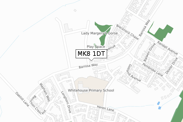
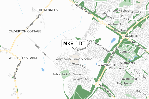
MK8 1DT is located in the Stony Stratford electoral ward, within the unitary authority of Milton Keynes and the English Parliamentary constituency of Milton Keynes South. The Sub Integrated Care Board (ICB) Location is NHS Bedfordshire, Luton and Milton Keynes ICB - M1J4Y and the police force is Thames Valley. This postcode has been in use since September 2019.


GetTheData
Source: OS Open Zoomstack (Ordnance Survey)
Licence: Open Government Licence (requires attribution)
Attribution: Contains OS data © Crown copyright and database right 2024
Source: Open Postcode Geo
Licence: Open Government Licence (requires attribution)
Attribution: Contains OS data © Crown copyright and database right 2024; Contains Royal Mail data © Royal Mail copyright and database right 2024; Source: Office for National Statistics licensed under the Open Government Licence v.3.0
| Easting | 481307 |
| Northing | 237748 |
| Latitude | 52.032200 |
| Longitude | -0.816196 |
GetTheData
Source: Open Postcode Geo
Licence: Open Government Licence
| Country | England |
| Postcode District | MK8 |
➜ See where MK8 is on a map ➜ Where is Milton Keynes? | |
GetTheData
Source: Land Registry Price Paid Data
Licence: Open Government Licence
| Ward | Stony Stratford |
| Constituency | Milton Keynes South |
GetTheData
Source: ONS Postcode Database
Licence: Open Government Licence
| Whitehouse School (Barrosa Way) | Whitehouse | 54m |
| Heren Lane (Longhorn Drive) | Whitehouse | 199m |
| Randall Avenue (Barrosa Way) | Whitehouse | 367m |
| Longhorn Drive (Whitehouse) | Whitehouse | 521m |
| Crematorium (Dansteed Way H4) | Crownhill | 688m |
| Milton Keynes Central Station | 2.9km |
| Wolverton Station | 3.8km |
GetTheData
Source: NaPTAN
Licence: Open Government Licence
GetTheData
Source: ONS Postcode Database
Licence: Open Government Licence


➜ Get more ratings from the Food Standards Agency
GetTheData
Source: Food Standards Agency
Licence: FSA terms & conditions
| Last Collection | |||
|---|---|---|---|
| Location | Mon-Fri | Sat | Distance |
| Hendrix Drive | 18:00 | 12:30 | 712m |
| High Street | 17:30 | 12:00 | 913m |
| Badgemore Court | 17:15 | 12:00 | 972m |
GetTheData
Source: Dracos
Licence: Creative Commons Attribution-ShareAlike
The below table lists the International Territorial Level (ITL) codes (formerly Nomenclature of Territorial Units for Statistics (NUTS) codes) and Local Administrative Units (LAU) codes for MK8 1DT:
| ITL 1 Code | Name |
|---|---|
| TLJ | South East (England) |
| ITL 2 Code | Name |
| TLJ1 | Berkshire, Buckinghamshire and Oxfordshire |
| ITL 3 Code | Name |
| TLJ12 | Milton Keynes |
| LAU 1 Code | Name |
| E06000042 | Milton Keynes |
GetTheData
Source: ONS Postcode Directory
Licence: Open Government Licence
The below table lists the Census Output Area (OA), Lower Layer Super Output Area (LSOA), and Middle Layer Super Output Area (MSOA) for MK8 1DT:
| Code | Name | |
|---|---|---|
| OA | E00175503 | |
| LSOA | E01033525 | Milton Keynes 019H |
| MSOA | E02003477 | Milton Keynes 019 |
GetTheData
Source: ONS Postcode Directory
Licence: Open Government Licence
| MK8 0EZ | Cruickshank Grove | 665m |
| MK8 0EL | Fernan Dell | 669m |
| MK8 0DY | Hendrix Drive | 694m |
| MK8 0HE | Orbison Court | 703m |
| MK8 0LF | Robeson Place | 711m |
| MK8 0EJ | Chevalier Grove | 726m |
| MK8 0EH | Hendrix Drive | 732m |
| MK8 8LS | Burewelle | 745m |
| MK8 0HF | Orbison Court | 745m |
| MK8 0LQ | Gallagher Close | 750m |
GetTheData
Source: Open Postcode Geo; Land Registry Price Paid Data
Licence: Open Government Licence