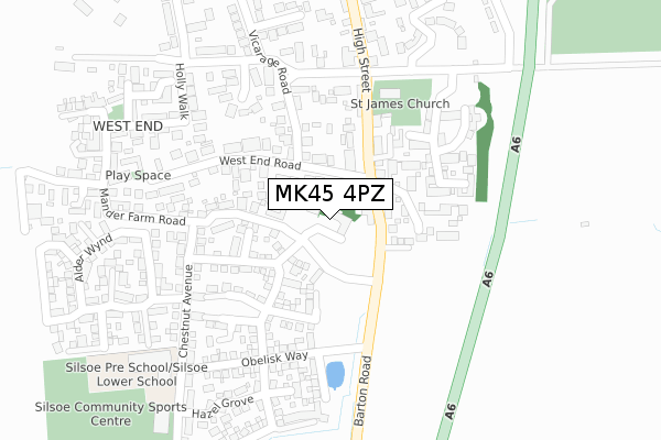
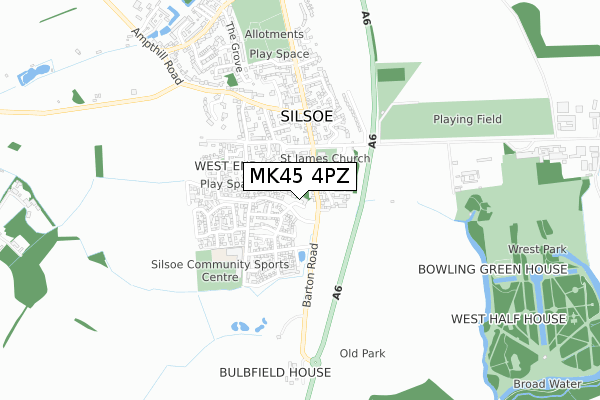
MK45 4PZ is located in the Barton-le-Clay & Silsoe electoral ward, within the unitary authority of Central Bedfordshire and the English Parliamentary constituency of Mid Bedfordshire. The Sub Integrated Care Board (ICB) Location is NHS Bedfordshire, Luton and Milton Keynes ICB - M1J4Y and the police force is Bedfordshire. This postcode has been in use since July 2019.


GetTheData
Source: OS Open Zoomstack (Ordnance Survey)
Licence: Open Government Licence (requires attribution)
Attribution: Contains OS data © Crown copyright and database right 2025
Source: Open Postcode Geo
Licence: Open Government Licence (requires attribution)
Attribution: Contains OS data © Crown copyright and database right 2025; Contains Royal Mail data © Royal Mail copyright and database right 2025; Source: Office for National Statistics licensed under the Open Government Licence v.3.0
| Easting | 508181 |
| Northing | 235397 |
| Latitude | 52.006486 |
| Longitude | -0.425335 |
GetTheData
Source: Open Postcode Geo
Licence: Open Government Licence
| Country | England |
| Postcode District | MK45 |
➜ See where MK45 is on a map ➜ Where is Silsoe? | |
GetTheData
Source: Land Registry Price Paid Data
Licence: Open Government Licence
| Ward | Barton-le-clay & Silsoe |
| Constituency | Mid Bedfordshire |
GetTheData
Source: ONS Postcode Database
Licence: Open Government Licence
| Silsoe College (Barton Road) | Silsoe | 146m |
| Silsoe College (Barton Road) | Silsoe | 165m |
| The Church (High Street) | Silsoe | 203m |
| The Church (High Street) | Silsoe | 244m |
| The George Hotel (High Street) | Silsoe | 453m |
| Flitwick Station | 4.8km |
GetTheData
Source: NaPTAN
Licence: Open Government Licence
GetTheData
Source: ONS Postcode Database
Licence: Open Government Licence


➜ Get more ratings from the Food Standards Agency
GetTheData
Source: Food Standards Agency
Licence: FSA terms & conditions
| Last Collection | |||
|---|---|---|---|
| Location | Mon-Fri | Sat | Distance |
| Post Office Newbury Lane | 18:05 | 10:15 | 934m |
| Ward Hedges | 15:45 | 10:30 | 1,518m |
| The Green | 18:10 | 10:20 | 2,282m |
GetTheData
Source: Dracos
Licence: Creative Commons Attribution-ShareAlike
The below table lists the International Territorial Level (ITL) codes (formerly Nomenclature of Territorial Units for Statistics (NUTS) codes) and Local Administrative Units (LAU) codes for MK45 4PZ:
| ITL 1 Code | Name |
|---|---|
| TLH | East |
| ITL 2 Code | Name |
| TLH2 | Bedfordshire and Hertfordshire |
| ITL 3 Code | Name |
| TLH25 | Central Bedfordshire |
| LAU 1 Code | Name |
| E06000056 | Central Bedfordshire |
GetTheData
Source: ONS Postcode Directory
Licence: Open Government Licence
The below table lists the Census Output Area (OA), Lower Layer Super Output Area (LSOA), and Middle Layer Super Output Area (MSOA) for MK45 4PZ:
| Code | Name | |
|---|---|---|
| OA | E00088092 | |
| LSOA | E01017445 | Central Bedfordshire 017D |
| MSOA | E02003615 | Central Bedfordshire 017 |
GetTheData
Source: ONS Postcode Directory
Licence: Open Government Licence
| MK45 4FL | Cherry Blossom Close | 82m |
| MK45 4DS | Barton Road | 92m |
| MK45 4EQ | Yew Tree Close | 120m |
| MK45 4DR | High Street | 133m |
| MK45 4FP | Larch Rise | 136m |
| MK45 4GE | College Chase | 149m |
| MK45 4GF | Aspen Way | 155m |
| MK45 4FD | The Beeches | 191m |
| MK45 4EH | Church Road | 199m |
| MK45 4EF | Vicarage Road | 202m |
GetTheData
Source: Open Postcode Geo; Land Registry Price Paid Data
Licence: Open Government Licence