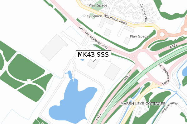
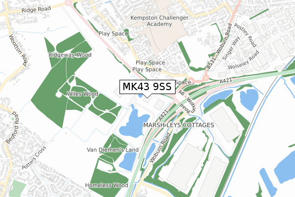
MK43 9SS is located in the Wootton & Kempston Rural electoral ward, within the unitary authority of Bedford and the English Parliamentary constituency of Bedford. The Sub Integrated Care Board (ICB) Location is NHS Bedfordshire, Luton and Milton Keynes ICB - M1J4Y and the police force is Bedfordshire. This postcode has been in use since July 2019.


GetTheData
Source: OS Open Zoomstack (Ordnance Survey)
Licence: Open Government Licence (requires attribution)
Attribution: Contains OS data © Crown copyright and database right 2025
Source: Open Postcode Geo
Licence: Open Government Licence (requires attribution)
Attribution: Contains OS data © Crown copyright and database right 2025; Contains Royal Mail data © Royal Mail copyright and database right 2025; Source: Office for National Statistics licensed under the Open Government Licence v.3.0
| Easting | 501950 |
| Northing | 246163 |
| Latitude | 52.104426 |
| Longitude | -0.512873 |
GetTheData
Source: Open Postcode Geo
Licence: Open Government Licence
| Country | England |
| Postcode District | MK43 |
➜ See where MK43 is on a map ➜ Where is Kempston? | |
GetTheData
Source: Land Registry Price Paid Data
Licence: Open Government Licence
| Ward | Wootton & Kempston Rural |
| Constituency | Bedford |
GetTheData
Source: ONS Postcode Database
Licence: Open Government Licence
| Marsh Leys | Kempston | 680m |
| Hill Rise (Ridge Road) | Kempston | 854m |
| Wootton Road | Gibraltar | 862m |
| Hill Rise (Ridge Road) | Kempston | 868m |
| Williamson Road Shops (Williamson Road) | Kempston | 896m |
| Kempston Hardwick Station | 1.5km |
| Stewartby Station | 4km |
| Bedford St Johns Station | 4.2km |
GetTheData
Source: NaPTAN
Licence: Open Government Licence
GetTheData
Source: ONS Postcode Database
Licence: Open Government Licence


➜ Get more ratings from the Food Standards Agency
GetTheData
Source: Food Standards Agency
Licence: FSA terms & conditions
| Last Collection | |||
|---|---|---|---|
| Location | Mon-Fri | Sat | Distance |
| Williamson Road | 18:05 | 11:35 | 899m |
| Keeley Lane | 17:00 | 11:00 | 1,120m |
| Singer Way | 18:45 | 11:55 | 1,141m |
GetTheData
Source: Dracos
Licence: Creative Commons Attribution-ShareAlike
The below table lists the International Territorial Level (ITL) codes (formerly Nomenclature of Territorial Units for Statistics (NUTS) codes) and Local Administrative Units (LAU) codes for MK43 9SS:
| ITL 1 Code | Name |
|---|---|
| TLH | East |
| ITL 2 Code | Name |
| TLH2 | Bedfordshire and Hertfordshire |
| ITL 3 Code | Name |
| TLH24 | Bedford |
| LAU 1 Code | Name |
| E06000055 | Bedford |
GetTheData
Source: ONS Postcode Directory
Licence: Open Government Licence
The below table lists the Census Output Area (OA), Lower Layer Super Output Area (LSOA), and Middle Layer Super Output Area (MSOA) for MK43 9SS:
| Code | Name | |
|---|---|---|
| OA | E00088425 | |
| LSOA | E01017516 | Bedford 018D |
| MSOA | E02003633 | Bedford 018 |
GetTheData
Source: ONS Postcode Directory
Licence: Open Government Licence
| MK42 7GU | Baldwin Walk | 329m |
| MK42 7FW | Oliver Close | 357m |
| MK42 7GT | The Bower | 369m |
| MK42 7FR | Wilkinson Road | 408m |
| MK42 7FX | Lewis Close | 426m |
| MK42 7GW | Walford Grove | 433m |
| MK42 7GS | Fovargue Mead | 442m |
| MK42 7GY | Baker Drive | 466m |
| MK42 7FT | Hilton Close | 474m |
| MK42 7GR | Smith Mews | 475m |
GetTheData
Source: Open Postcode Geo; Land Registry Price Paid Data
Licence: Open Government Licence