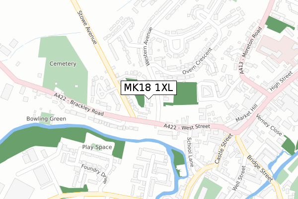
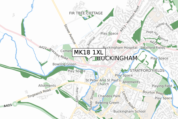
MK18 1XL is located in the Buckingham East electoral ward, within the unitary authority of Buckinghamshire and the English Parliamentary constituency of Buckingham. The Sub Integrated Care Board (ICB) Location is NHS Buckinghamshire, Oxfordshire and Berkshire West ICB - 14Y and the police force is Thames Valley. This postcode has been in use since June 2019.


GetTheData
Source: OS Open Zoomstack (Ordnance Survey)
Licence: Open Government Licence (requires attribution)
Attribution: Contains OS data © Crown copyright and database right 2025
Source: Open Postcode Geo
Licence: Open Government Licence (requires attribution)
Attribution: Contains OS data © Crown copyright and database right 2025; Contains Royal Mail data © Royal Mail copyright and database right 2025; Source: Office for National Statistics licensed under the Open Government Licence v.3.0
| Easting | 469288 |
| Northing | 234092 |
| Latitude | 52.000965 |
| Longitude | -0.992102 |
GetTheData
Source: Open Postcode Geo
Licence: Open Government Licence
| Country | England |
| Postcode District | MK18 |
➜ See where MK18 is on a map ➜ Where is Buckingham? | |
GetTheData
Source: Land Registry Price Paid Data
Licence: Open Government Licence
| Ward | Buckingham East |
| Constituency | Buckingham |
GetTheData
Source: ONS Postcode Database
Licence: Open Government Licence
| Westfields (Tingewick Road) | Buckingham | 356m |
| Market Hill (Moreton Road) | Buckingham | 359m |
| Market Hill (Moreton Road) | Buckingham | 367m |
| Overn Avenue (Overn Ave) | Buckingham | 386m |
| Western Avenue | Buckingham | 410m |
GetTheData
Source: NaPTAN
Licence: Open Government Licence
| Percentage of properties with Next Generation Access | 100.0% |
| Percentage of properties with Superfast Broadband | 100.0% |
| Percentage of properties with Ultrafast Broadband | 0.0% |
| Percentage of properties with Full Fibre Broadband | 0.0% |
Superfast Broadband is between 30Mbps and 300Mbps
Ultrafast Broadband is > 300Mbps
| Percentage of properties unable to receive 2Mbps | 0.0% |
| Percentage of properties unable to receive 5Mbps | 0.0% |
| Percentage of properties unable to receive 10Mbps | 0.0% |
| Percentage of properties unable to receive 30Mbps | 0.0% |
GetTheData
Source: Ofcom
Licence: Ofcom Terms of Use (requires attribution)
GetTheData
Source: ONS Postcode Database
Licence: Open Government Licence


➜ Get more ratings from the Food Standards Agency
GetTheData
Source: Food Standards Agency
Licence: FSA terms & conditions
| Last Collection | |||
|---|---|---|---|
| Location | Mon-Fri | Sat | Distance |
| Brackley Road | 17:30 | 12:00 | 85m |
| Western Avenue | 17:30 | 08:30 | 235m |
| Post Office Market Hill | 18:00 | 12:45 | 311m |
GetTheData
Source: Dracos
Licence: Creative Commons Attribution-ShareAlike
The below table lists the International Territorial Level (ITL) codes (formerly Nomenclature of Territorial Units for Statistics (NUTS) codes) and Local Administrative Units (LAU) codes for MK18 1XL:
| ITL 1 Code | Name |
|---|---|
| TLJ | South East (England) |
| ITL 2 Code | Name |
| TLJ1 | Berkshire, Buckinghamshire and Oxfordshire |
| ITL 3 Code | Name |
| TLJ13 | Buckinghamshire |
| LAU 1 Code | Name |
| E06000060 | Buckinghamshire |
GetTheData
Source: ONS Postcode Directory
Licence: Open Government Licence
The below table lists the Census Output Area (OA), Lower Layer Super Output Area (LSOA), and Middle Layer Super Output Area (MSOA) for MK18 1XL:
| Code | Name | |
|---|---|---|
| OA | E00089075 | |
| LSOA | E01017645 | Aylesbury Vale 002B |
| MSOA | E02003653 | Aylesbury Vale 002 |
GetTheData
Source: ONS Postcode Directory
Licence: Open Government Licence
| MK18 1HT | Stowe Avenue | 69m |
| MK18 1LS | Western Avenue | 76m |
| MK18 1HP | West Street | 92m |
| MK18 1HU | Stowe Rise | 107m |
| MK18 1HZ | Stowe Avenue | 115m |
| MK18 1LZ | Overn Crescent | 128m |
| MK18 1HH | Bostock Court | 129m |
| MK18 1LX | Western Avenue | 134m |
| MK18 1HX | Stowe Avenue | 155m |
| MK18 1JF | Glynswood Road | 160m |
GetTheData
Source: Open Postcode Geo; Land Registry Price Paid Data
Licence: Open Government Licence