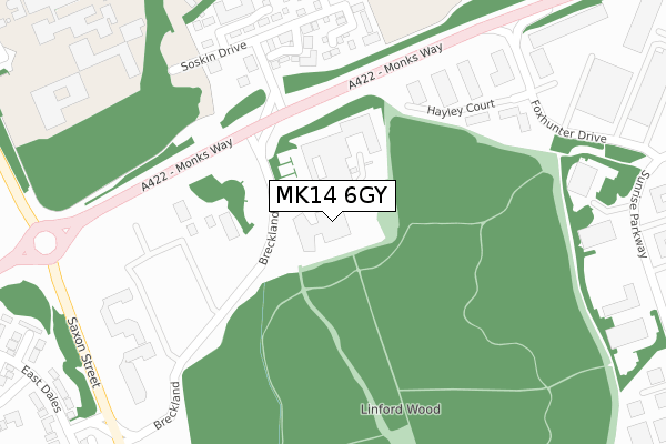
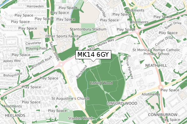
MK14 6GY is located in the Stantonbury electoral ward, within the unitary authority of Milton Keynes and the English Parliamentary constituency of Milton Keynes North. The Sub Integrated Care Board (ICB) Location is NHS Bedfordshire, Luton and Milton Keynes ICB - M1J4Y and the police force is Thames Valley. This postcode has been in use since April 2020.


GetTheData
Source: OS Open Zoomstack (Ordnance Survey)
Licence: Open Government Licence (requires attribution)
Attribution: Contains OS data © Crown copyright and database right 2025
Source: Open Postcode Geo
Licence: Open Government Licence (requires attribution)
Attribution: Contains OS data © Crown copyright and database right 2025; Contains Royal Mail data © Royal Mail copyright and database right 2025; Source: Office for National Statistics licensed under the Open Government Licence v.3.0
| Easting | 484657 |
| Northing | 240659 |
| Latitude | 52.057866 |
| Longitude | -0.766654 |
GetTheData
Source: Open Postcode Geo
Licence: Open Government Licence
| Country | England |
| Postcode District | MK14 |
➜ See where MK14 is on a map ➜ Where is Milton Keynes? | |
GetTheData
Source: Land Registry Price Paid Data
Licence: Open Government Licence
| Ward | Stantonbury |
| Constituency | Milton Keynes North |
GetTheData
Source: ONS Postcode Database
Licence: Open Government Licence
| Stantonbury Roundabout East (Monks Way H3) | Stantonbury | 203m |
| Stantonbury Roundabout East (Monks Way H3) | Stantonbury | 234m |
| Stantonbury Roundabout South (Saxon Street V7) | Stantonbury | 412m |
| Stantonbury Roundabout South (Saxon Street V7) | Stantonbury | 429m |
| Foxhunter Drive (Monks Way H3) | Stantonbury | 471m |
| Milton Keynes Central Station | 2.7km |
| Wolverton Station | 2.7km |
GetTheData
Source: NaPTAN
Licence: Open Government Licence
GetTheData
Source: ONS Postcode Database
Licence: Open Government Licence


➜ Get more ratings from the Food Standards Agency
GetTheData
Source: Food Standards Agency
Licence: FSA terms & conditions
| Last Collection | |||
|---|---|---|---|
| Location | Mon-Fri | Sat | Distance |
| Kirkby Close | 17:00 | 12:00 | 300m |
| Jacobs Close | 17:00 | 12:00 | 551m |
| Sunrise Parkway | 18:30 | 565m | |
GetTheData
Source: Dracos
Licence: Creative Commons Attribution-ShareAlike
The below table lists the International Territorial Level (ITL) codes (formerly Nomenclature of Territorial Units for Statistics (NUTS) codes) and Local Administrative Units (LAU) codes for MK14 6GY:
| ITL 1 Code | Name |
|---|---|
| TLJ | South East (England) |
| ITL 2 Code | Name |
| TLJ1 | Berkshire, Buckinghamshire and Oxfordshire |
| ITL 3 Code | Name |
| TLJ12 | Milton Keynes |
| LAU 1 Code | Name |
| E06000042 | Milton Keynes |
GetTheData
Source: ONS Postcode Directory
Licence: Open Government Licence
The below table lists the Census Output Area (OA), Lower Layer Super Output Area (LSOA), and Middle Layer Super Output Area (MSOA) for MK14 6GY:
| Code | Name | |
|---|---|---|
| OA | E00084792 | |
| LSOA | E01016804 | Milton Keynes 009D |
| MSOA | E02003467 | Milton Keynes 009 |
GetTheData
Source: ONS Postcode Directory
Licence: Open Government Licence
| MK14 6LB | Breckland | 110m |
| MK14 6TA | Kirkeby Close | 274m |
| MK14 6TB | Hunsdon Close | 286m |
| MK14 6TD | Camlet Grove | 368m |
| MK14 6DJ | Redbridge | 459m |
| MK13 7PJ | East Dales | 482m |
| MK14 6DL | Redbridge | 485m |
| MK14 6LS | Sunrise Parkway | 501m |
| MK13 7LX | Dyersdale | 509m |
| MK13 7LY | Deepdale | 526m |
GetTheData
Source: Open Postcode Geo; Land Registry Price Paid Data
Licence: Open Government Licence