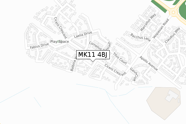
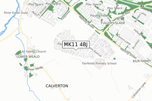
MK11 4BJ is located in the Stony Stratford electoral ward, within the unitary authority of Milton Keynes and the English Parliamentary constituency of Milton Keynes South. The Sub Integrated Care Board (ICB) Location is NHS Bedfordshire, Luton and Milton Keynes ICB - M1J4Y and the police force is Thames Valley. This postcode has been in use since November 2017.


GetTheData
Source: OS Open Zoomstack (Ordnance Survey)
Licence: Open Government Licence (requires attribution)
Attribution: Contains OS data © Crown copyright and database right 2025
Source: Open Postcode Geo
Licence: Open Government Licence (requires attribution)
Attribution: Contains OS data © Crown copyright and database right 2025; Contains Royal Mail data © Royal Mail copyright and database right 2025; Source: Office for National Statistics licensed under the Open Government Licence v.3.0
| Easting | 479732 |
| Northing | 239032 |
| Latitude | 52.043971 |
| Longitude | -0.838851 |
GetTheData
Source: Open Postcode Geo
Licence: Open Government Licence
| Country | England |
| Postcode District | MK11 |
➜ See where MK11 is on a map ➜ Where is Milton Keynes? | |
GetTheData
Source: Land Registry Price Paid Data
Licence: Open Government Licence
| Ward | Stony Stratford |
| Constituency | Milton Keynes South |
GetTheData
Source: ONS Postcode Database
Licence: Open Government Licence
| Tiberius Way (Vespacian Road) | Fairfields | 370m |
| Tiberius Way (Vespacian Road) | Fairfields | 392m |
| Slade Lane | Fullers Slade | 746m |
| Slade Lane | Fullers Slade | 759m |
| Woolmans | Fullers Slade | 774m |
| Wolverton Station | 3.4km |
| Milton Keynes Central Station | 4.6km |
GetTheData
Source: NaPTAN
Licence: Open Government Licence
| Percentage of properties with Next Generation Access | 100.0% |
| Percentage of properties with Superfast Broadband | 100.0% |
| Percentage of properties with Ultrafast Broadband | 100.0% |
| Percentage of properties with Full Fibre Broadband | 100.0% |
Superfast Broadband is between 30Mbps and 300Mbps
Ultrafast Broadband is > 300Mbps
| Percentage of properties unable to receive 2Mbps | 0.0% |
| Percentage of properties unable to receive 5Mbps | 0.0% |
| Percentage of properties unable to receive 10Mbps | 0.0% |
| Percentage of properties unable to receive 30Mbps | 0.0% |
GetTheData
Source: Ofcom
Licence: Ofcom Terms of Use (requires attribution)
GetTheData
Source: ONS Postcode Database
Licence: Open Government Licence


➜ Get more ratings from the Food Standards Agency
GetTheData
Source: Food Standards Agency
Licence: FSA terms & conditions
| Last Collection | |||
|---|---|---|---|
| Location | Mon-Fri | Sat | Distance |
| Middle Weald | 16:30 | 08:30 | 656m |
| Tudor Gardens | 17:30 | 12:00 | 665m |
| Slade Lane | 17:30 | 12:00 | 770m |
GetTheData
Source: Dracos
Licence: Creative Commons Attribution-ShareAlike
The below table lists the International Territorial Level (ITL) codes (formerly Nomenclature of Territorial Units for Statistics (NUTS) codes) and Local Administrative Units (LAU) codes for MK11 4BJ:
| ITL 1 Code | Name |
|---|---|
| TLJ | South East (England) |
| ITL 2 Code | Name |
| TLJ1 | Berkshire, Buckinghamshire and Oxfordshire |
| ITL 3 Code | Name |
| TLJ12 | Milton Keynes |
| LAU 1 Code | Name |
| E06000042 | Milton Keynes |
GetTheData
Source: ONS Postcode Directory
Licence: Open Government Licence
The below table lists the Census Output Area (OA), Lower Layer Super Output Area (LSOA), and Middle Layer Super Output Area (MSOA) for MK11 4BJ:
| Code | Name | |
|---|---|---|
| OA | E00084835 | |
| LSOA | E01016814 | Milton Keynes 019D |
| MSOA | E02003477 | Milton Keynes 019 |
GetTheData
Source: ONS Postcode Directory
Licence: Open Government Licence
| MK11 4AJ | Aurelia Close | 416m |
| MK11 4AL | Claudius Way | 450m |
| MK11 2BN | Weavers Hill | 546m |
| MK11 2BL | Weavers Hill | 550m |
| MK11 2AG | Pentlands | 605m |
| MK11 2AB | Blackdown | 650m |
| MK11 2AF | Pentlands | 654m |
| MK11 1HP | Latimer | 666m |
| MK11 1HX | Tudor Gardens | 667m |
| MK19 6EE | 686m |
GetTheData
Source: Open Postcode Geo; Land Registry Price Paid Data
Licence: Open Government Licence