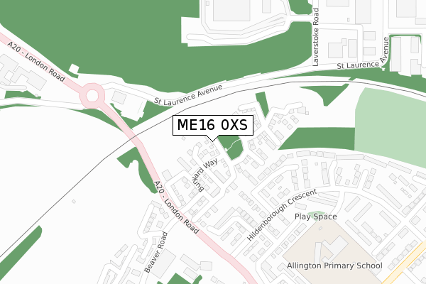
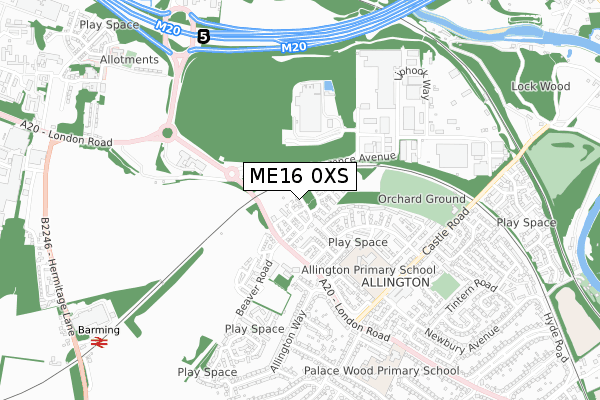
ME16 0XS is located in the Allington electoral ward, within the local authority district of Maidstone and the English Parliamentary constituency of Maidstone and The Weald. The Sub Integrated Care Board (ICB) Location is NHS Kent and Medway ICB - 91Q and the police force is Kent. This postcode has been in use since April 2018.


GetTheData
Source: OS Open Zoomstack (Ordnance Survey)
Licence: Open Government Licence (requires attribution)
Attribution: Contains OS data © Crown copyright and database right 2025
Source: Open Postcode Geo
Licence: Open Government Licence (requires attribution)
Attribution: Contains OS data © Crown copyright and database right 2025; Contains Royal Mail data © Royal Mail copyright and database right 2025; Source: Office for National Statistics licensed under the Open Government Licence v.3.0
| Easting | 573814 |
| Northing | 157468 |
| Latitude | 51.289819 |
| Longitude | 0.491358 |
GetTheData
Source: Open Postcode Geo
Licence: Open Government Licence
| Country | England |
| Postcode District | ME16 |
➜ See where ME16 is on a map ➜ Where is Maidstone? | |
GetTheData
Source: Land Registry Price Paid Data
Licence: Open Government Licence
| Ward | Allington |
| Constituency | Maidstone And The Weald |
GetTheData
Source: ONS Postcode Database
Licence: Open Government Licence
2021 15 SEP £685,000 |
2018 22 FEB £559,995 |
2, SNOWDROP CLOSE, ALLINGTON, MAIDSTONE, ME16 0XS 2018 22 FEB £564,995 |
GetTheData
Source: HM Land Registry Price Paid Data
Licence: Contains HM Land Registry data © Crown copyright and database right 2025. This data is licensed under the Open Government Licence v3.0.
| Sir Thomas Wyatt (London Road) | Allington | 227m |
| Sir Thomas Wyatt (London Road) | Allington | 232m |
| Fordwich Close (Hildenborough Crescent) | Allington | 252m |
| Allington Way | Allington | 379m |
| Allington Way (London Road) | Allington | 396m |
| Barming Station | 1km |
| Maidstone Barracks Station | 2.1km |
| Aylesford Station | 2.2km |
GetTheData
Source: NaPTAN
Licence: Open Government Licence
| Percentage of properties with Next Generation Access | 100.0% |
| Percentage of properties with Superfast Broadband | 100.0% |
| Percentage of properties with Ultrafast Broadband | 100.0% |
| Percentage of properties with Full Fibre Broadband | 0.0% |
Superfast Broadband is between 30Mbps and 300Mbps
Ultrafast Broadband is > 300Mbps
| Percentage of properties unable to receive 2Mbps | 0.0% |
| Percentage of properties unable to receive 5Mbps | 0.0% |
| Percentage of properties unable to receive 10Mbps | 0.0% |
| Percentage of properties unable to receive 30Mbps | 0.0% |
GetTheData
Source: Ofcom
Licence: Ofcom Terms of Use (requires attribution)
GetTheData
Source: ONS Postcode Database
Licence: Open Government Licence


➜ Get more ratings from the Food Standards Agency
GetTheData
Source: Food Standards Agency
Licence: FSA terms & conditions
| Last Collection | |||
|---|---|---|---|
| Location | Mon-Fri | Sat | Distance |
| Hildenborough Crescent | 17:30 | 12:15 | 248m |
| 20/20 Industrial Estate | 18:30 | 12:15 | 380m |
| 20/20 Ind Est | 18:45 | 384m | |
GetTheData
Source: Dracos
Licence: Creative Commons Attribution-ShareAlike
The below table lists the International Territorial Level (ITL) codes (formerly Nomenclature of Territorial Units for Statistics (NUTS) codes) and Local Administrative Units (LAU) codes for ME16 0XS:
| ITL 1 Code | Name |
|---|---|
| TLJ | South East (England) |
| ITL 2 Code | Name |
| TLJ4 | Kent |
| ITL 3 Code | Name |
| TLJ45 | Mid Kent |
| LAU 1 Code | Name |
| E07000110 | Maidstone |
GetTheData
Source: ONS Postcode Directory
Licence: Open Government Licence
The below table lists the Census Output Area (OA), Lower Layer Super Output Area (LSOA), and Middle Layer Super Output Area (MSOA) for ME16 0XS:
| Code | Name | |
|---|---|---|
| OA | E00123466 | |
| LSOA | E01024323 | Maidstone 003D |
| MSOA | E02005070 | Maidstone 003 |
GetTheData
Source: ONS Postcode Directory
Licence: Open Government Licence
| ME16 0NT | Blackmanstone Way | 169m |
| ME16 0NS | Lamberhurst Road | 202m |
| ME16 0NY | Hildenborough Crescent | 204m |
| ME16 0NU | Fordwich Close | 204m |
| ME16 0ZP | St Laurence Avenue | 245m |
| ME16 0PA | Hildenborough Crescent | 260m |
| ME16 0NP | Adisham Drive | 261m |
| ME16 0NR | Hildenborough Crescent | 267m |
| ME16 0PD | Eastry Close | 274m |
| ME16 0HG | London Road | 289m |
GetTheData
Source: Open Postcode Geo; Land Registry Price Paid Data
Licence: Open Government Licence