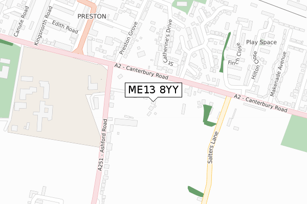
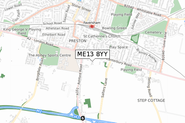
ME13 8YY is located in the Watling electoral ward, within the local authority district of Swale and the English Parliamentary constituency of Faversham and Mid Kent. The Sub Integrated Care Board (ICB) Location is NHS Kent and Medway ICB - 91Q and the police force is Kent. This postcode has been in use since August 2020.


GetTheData
Source: OS Open Zoomstack (Ordnance Survey)
Licence: Open Government Licence (requires attribution)
Attribution: Contains OS data © Crown copyright and database right 2025
Source: Open Postcode Geo
Licence: Open Government Licence (requires attribution)
Attribution: Contains OS data © Crown copyright and database right 2025; Contains Royal Mail data © Royal Mail copyright and database right 2025; Source: Office for National Statistics licensed under the Open Government Licence v.3.0
| Easting | 601587 |
| Northing | 160426 |
| Latitude | 51.307242 |
| Longitude | 0.890823 |
GetTheData
Source: Open Postcode Geo
Licence: Open Government Licence
| Country | England |
| Postcode District | ME13 |
➜ See where ME13 is on a map ➜ Where is Faversham? | |
GetTheData
Source: Land Registry Price Paid Data
Licence: Open Government Licence
| Ward | Watling |
| Constituency | Faversham And Mid Kent |
GetTheData
Source: ONS Postcode Database
Licence: Open Government Licence
7, MARCHANT GROVE, FAVERSHAM, ME13 8YY 2021 11 MAY £680,000 |
6, MARCHANT GROVE, FAVERSHAM, ME13 8YY 2021 30 MAR £747,000 |
4, MARCHANT GROVE, FAVERSHAM, ME13 8YY 2020 9 SEP £709,995 |
5, MARCHANT GROVE, FAVERSHAM, ME13 8YY 2020 11 AUG £749,000 |
3, MARCHANT GROVE, FAVERSHAM, ME13 8YY 2020 30 JUL £680,000 |
GetTheData
Source: HM Land Registry Price Paid Data
Licence: Contains HM Land Registry data © Crown copyright and database right 2025. This data is licensed under the Open Government Licence v3.0.
| Preston Park (Canterbury Road) | Preston | 120m |
| Preston Park (Canterbury Road) | Preston | 158m |
| The Mall | Faversham | 315m |
| The Mall | Faversham | 330m |
| Makenade Avenue (Canterbury Road) | Preston | 367m |
| Faversham Station | 0.5km |
| Selling Station | 4.8km |
GetTheData
Source: NaPTAN
Licence: Open Government Licence
GetTheData
Source: ONS Postcode Database
Licence: Open Government Licence


➜ Get more ratings from the Food Standards Agency
GetTheData
Source: Food Standards Agency
Licence: FSA terms & conditions
| Last Collection | |||
|---|---|---|---|
| Location | Mon-Fri | Sat | Distance |
| Preston Village | 17:30 | 11:45 | 209m |
| The Mall | 17:30 | 12:00 | 332m |
| Macknade | 17:30 | 11:45 | 436m |
GetTheData
Source: Dracos
Licence: Creative Commons Attribution-ShareAlike
The below table lists the International Territorial Level (ITL) codes (formerly Nomenclature of Territorial Units for Statistics (NUTS) codes) and Local Administrative Units (LAU) codes for ME13 8YY:
| ITL 1 Code | Name |
|---|---|
| TLJ | South East (England) |
| ITL 2 Code | Name |
| TLJ4 | Kent |
| ITL 3 Code | Name |
| TLJ43 | Kent Thames Gateway |
| LAU 1 Code | Name |
| E07000113 | Swale |
GetTheData
Source: ONS Postcode Directory
Licence: Open Government Licence
The below table lists the Census Output Area (OA), Lower Layer Super Output Area (LSOA), and Middle Layer Super Output Area (MSOA) for ME13 8YY:
| Code | Name | |
|---|---|---|
| OA | E00124983 | |
| LSOA | E01024626 | Swale 014E |
| MSOA | E02005128 | Swale 014 |
GetTheData
Source: ONS Postcode Directory
Licence: Open Government Licence
| ME13 8XJ | Ashford Road | 144m |
| ME13 8LZ | Rose Terrace | 188m |
| ME13 8LR | Cherry Tree Cottages | 192m |
| ME13 8LQ | St Catherines Drive | 202m |
| ME13 8XN | Ashford Road | 204m |
| ME13 8HZ | Forge Close | 216m |
| ME13 8NA | Westwood Place | 218m |
| ME13 8ND | Salters Lane | 220m |
| ME13 8LU | Pile Cottages | 227m |
| ME13 8JY | Preston Grove | 229m |
GetTheData
Source: Open Postcode Geo; Land Registry Price Paid Data
Licence: Open Government Licence