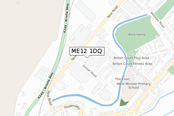
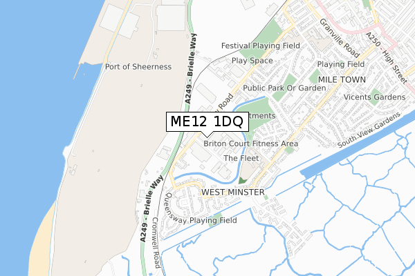
ME12 1DQ is located in the Sheerness electoral ward, within the local authority district of Swale and the English Parliamentary constituency of Sittingbourne and Sheppey. The Sub Integrated Care Board (ICB) Location is NHS Kent and Medway ICB - 91Q and the police force is Kent. This postcode has been in use since February 2020.


GetTheData
Source: OS Open Zoomstack (Ordnance Survey)
Licence: Open Government Licence (requires attribution)
Attribution: Contains OS data © Crown copyright and database right 2025
Source: Open Postcode Geo
Licence: Open Government Licence (requires attribution)
Attribution: Contains OS data © Crown copyright and database right 2025; Contains Royal Mail data © Royal Mail copyright and database right 2025; Source: Office for National Statistics licensed under the Open Government Licence v.3.0
| Easting | 591235 |
| Northing | 173978 |
| Latitude | 51.432527 |
| Longitude | 0.749775 |
GetTheData
Source: Open Postcode Geo
Licence: Open Government Licence
| Country | England |
| Postcode District | ME12 |
➜ See where ME12 is on a map ➜ Where is Sheerness? | |
GetTheData
Source: Land Registry Price Paid Data
Licence: Open Government Licence
| Ward | Sheerness |
| Constituency | Sittingbourne And Sheppey |
GetTheData
Source: ONS Postcode Database
Licence: Open Government Licence
| Dorset Road (New Road) | West Minster | 55m |
| Dorset Road (New Road) | West Minster | 81m |
| Queensway (New Road) | West Minster | 344m |
| Cherry Tree Close (Hawthorn Avenue) | West Minster | 345m |
| Cherry Tree Close (Hawthorn Avenue) | West Minster | 357m |
| Sheerness-on-Sea Station | 1.1km |
| Queenborough Station | 1.9km |
| Swale Station | 4.8km |
GetTheData
Source: NaPTAN
Licence: Open Government Licence
GetTheData
Source: ONS Postcode Database
Licence: Open Government Licence


➜ Get more ratings from the Food Standards Agency
GetTheData
Source: Food Standards Agency
Licence: FSA terms & conditions
| Last Collection | |||
|---|---|---|---|
| Location | Mon-Fri | Sat | Distance |
| Queensway Post Office | 17:30 | 12:00 | 360m |
| Hope Street | 17:00 | 11:45 | 834m |
| Edenbridge Road | 17:00 | 11:30 | 841m |
GetTheData
Source: Dracos
Licence: Creative Commons Attribution-ShareAlike
The below table lists the International Territorial Level (ITL) codes (formerly Nomenclature of Territorial Units for Statistics (NUTS) codes) and Local Administrative Units (LAU) codes for ME12 1DQ:
| ITL 1 Code | Name |
|---|---|
| TLJ | South East (England) |
| ITL 2 Code | Name |
| TLJ4 | Kent |
| ITL 3 Code | Name |
| TLJ43 | Kent Thames Gateway |
| LAU 1 Code | Name |
| E07000113 | Swale |
GetTheData
Source: ONS Postcode Directory
Licence: Open Government Licence
The below table lists the Census Output Area (OA), Lower Layer Super Output Area (LSOA), and Middle Layer Super Output Area (MSOA) for ME12 1DQ:
| Code | Name | |
|---|---|---|
| OA | E00124931 | |
| LSOA | E01024615 | Swale 002C |
| MSOA | E02005116 | Swale 002 |
GetTheData
Source: ONS Postcode Directory
Licence: Open Government Licence
| ME12 1LW | Nelson Close | 225m |
| ME12 1LN | New Road | 241m |
| ME12 1BQ | Shearwater Court | 285m |
| ME12 1LL | Queens Way | 304m |
| ME12 1BL | Briton Court | 319m |
| ME12 1LJ | Queens Way | 330m |
| ME12 1JY | Hawthorn Avenue | 337m |
| ME12 1BG | Bridgewater Road | 357m |
| ME12 1JP | Larch Terrace | 366m |
| ME12 1BH | Bonetta Court | 381m |
GetTheData
Source: Open Postcode Geo; Land Registry Price Paid Data
Licence: Open Government Licence