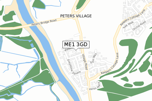
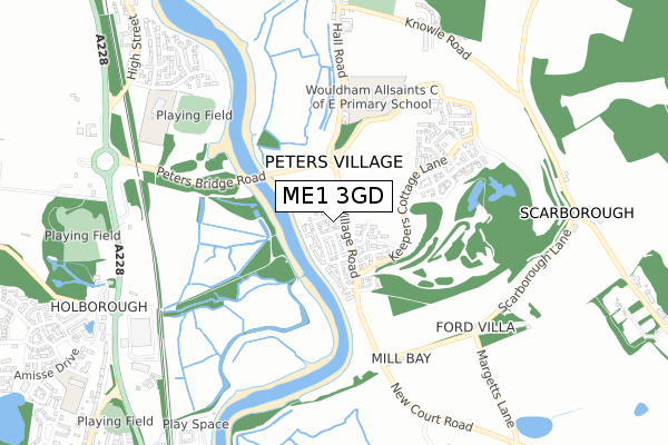
ME1 3GD is located in the Aylesford North & North Downs electoral ward, within the local authority district of Tonbridge and Malling and the English Parliamentary constituency of Chatham and Aylesford. The Sub Integrated Care Board (ICB) Location is NHS Kent and Medway ICB - 91Q and the police force is Kent. This postcode has been in use since June 2018.


GetTheData
Source: OS Open Zoomstack (Ordnance Survey)
Licence: Open Government Licence (requires attribution)
Attribution: Contains OS data © Crown copyright and database right 2024
Source: Open Postcode Geo
Licence: Open Government Licence (requires attribution)
Attribution: Contains OS data © Crown copyright and database right 2024; Contains Royal Mail data © Royal Mail copyright and database right 2024; Source: Office for National Statistics licensed under the Open Government Licence v.3.0
| Easting | 571262 |
| Northing | 162952 |
| Latitude | 51.339858 |
| Longitude | 0.457427 |
GetTheData
Source: Open Postcode Geo
Licence: Open Government Licence
| Country | England |
| Postcode District | ME1 |
➜ See where ME1 is on a map ➜ Where is Peters Village? | |
GetTheData
Source: Land Registry Price Paid Data
Licence: Open Government Licence
| Ward | Aylesford North & North Downs |
| Constituency | Chatham And Aylesford |
GetTheData
Source: ONS Postcode Database
Licence: Open Government Licence
| Cornwall Crescent (Knowle Road) | Wouldham | 806m |
| Medway Inn (Knowle Road) | Wouldham | 814m |
| Cornwall Crescent (Knowle Road) | Wouldham | 815m |
| Snodland Bypass (A228) | Holborough | 827m |
| Medway Inn (High Street) | Wouldham | 882m |
| Snodland Station | 1.2km |
| Halling Station | 1.7km |
| New Hythe Station | 3km |
GetTheData
Source: NaPTAN
Licence: Open Government Licence
| Percentage of properties with Next Generation Access | 100.0% |
| Percentage of properties with Superfast Broadband | 100.0% |
| Percentage of properties with Ultrafast Broadband | 100.0% |
| Percentage of properties with Full Fibre Broadband | 100.0% |
Superfast Broadband is between 30Mbps and 300Mbps
Ultrafast Broadband is > 300Mbps
| Percentage of properties unable to receive 2Mbps | 0.0% |
| Percentage of properties unable to receive 5Mbps | 0.0% |
| Percentage of properties unable to receive 10Mbps | 0.0% |
| Percentage of properties unable to receive 30Mbps | 0.0% |
GetTheData
Source: Ofcom
Licence: Ofcom Terms of Use (requires attribution)
GetTheData
Source: ONS Postcode Database
Licence: Open Government Licence


➜ Get more ratings from the Food Standards Agency
GetTheData
Source: Food Standards Agency
Licence: FSA terms & conditions
| Last Collection | |||
|---|---|---|---|
| Location | Mon-Fri | Sat | Distance |
| Higham Avenue | 17:00 | 09:00 | 1,091m |
| Wouldham Post Office | 17:15 | 11:00 | 1,135m |
| Railway Place | 17:30 | 09:00 | 1,302m |
GetTheData
Source: Dracos
Licence: Creative Commons Attribution-ShareAlike
The below table lists the International Territorial Level (ITL) codes (formerly Nomenclature of Territorial Units for Statistics (NUTS) codes) and Local Administrative Units (LAU) codes for ME1 3GD:
| ITL 1 Code | Name |
|---|---|
| TLJ | South East (England) |
| ITL 2 Code | Name |
| TLJ4 | Kent |
| ITL 3 Code | Name |
| TLJ46 | West Kent |
| LAU 1 Code | Name |
| E07000115 | Tonbridge and Malling |
GetTheData
Source: ONS Postcode Directory
Licence: Open Government Licence
The below table lists the Census Output Area (OA), Lower Layer Super Output Area (LSOA), and Middle Layer Super Output Area (MSOA) for ME1 3GD:
| Code | Name | |
|---|---|---|
| OA | E00167605 | |
| LSOA | E01024727 | Tonbridge and Malling 001E |
| MSOA | E02005149 | Tonbridge and Malling 001 |
GetTheData
Source: ONS Postcode Directory
Licence: Open Government Licence
| ME1 3XU | Scarborough Lane | 656m |
| ME2 1NF | Howlsmere Close | 735m |
| ME1 3XH | Hall Road | 759m |
| ME1 3XN | Hall Road | 783m |
| ME1 3XS | Knowle Road | 784m |
| ME2 1ER | Howlsmere Close | 799m |
| ME2 1NE | Herying Close | 821m |
| ME1 3XT | Scarborough Lane | 848m |
| ME1 3XD | High Street | 854m |
| ME1 3XB | High Street | 856m |
GetTheData
Source: Open Postcode Geo; Land Registry Price Paid Data
Licence: Open Government Licence